

The New Georgia Encyclopedia is supported by funding from A More Perfect Union, a special initiative of the National Endowment for the Humanities.
The city of Dalton, founded as Cross Plains in 1837, is the seat of Whitfield County. Known as the carpet capital of the world, Dalton and the surrounding region produce most of the nation's tufted carpets.
Courtesy of Dalton Convention and Visitors Bureau
An aerial photograph, taken in 1890, shows the north end of Dalton, the capital of Whitfield County.
Courtesy of Georgia Archives, Vanishing Georgia, # wtf025.
Located in Dalton, Whitfield County's second courthouse, pictured circa 1907, was built in 1891 to replace a wooden structure burned by Union troops during the Civil War. The second courthouse was used until 1960, when it was demolished.
Courtesy of Georgia Info, Digital Library of Georgia.
Cotton farmers converge on Hamilton Street in Dalton, circa 1900. Agriculture was the predominant industry in the Dalton area until the end of the nineteenth century, when farming was largely supplanted by the textile industry.
Courtesy of Georgia Archives, Vanishing Georgia, #
wtf078.
Chenille bedspreads hang on a line in Dalton, where in 1895 resident Catherine Evans Whitener revived the craft of hand tufting. The resulting cottage industry for the production of chenille goods is credited as the origin of Dalton's renowned carpet industy.
Courtesy of Dalton Convention and Visitors Bureau
Downtown Dalton, the seat of Whitfield County, is pictured in the 1950s. In the years following World War II (1941-45), the city experienced an economic boom with the growth of its carpet industry.
Courtesy of Sherry Cady
The headquarters of World Carpets, pictured in 1969, featured a waterfall on its Morris Street side. World Carpets was founded in Dalton in 1954 by husband and wife Shaheen Shaheen and Piera Barbaglia.
From World Carpets: The First Thirty Years, by S. Shaheen
Downtown Dalton in the twenty-first century features numerous attractions, including shopping and cultural events. The city is located in Whitfield County, eighty miles north of Atlanta.
Courtesy of Dalton Convention and Visitors Bureau
Hamilton Memorial Hospital, pictured circa 1930, was built in Dalton in 1918 during the influenza pandemic of that year.
Courtesy of Crown Gardens and Archives
Streetscape of Dalton, the seat of Whitfield County, taken in the 1940s.
Courtesy of Sherry Cady
The Glascock County Courthouse in Gibson was built in 1919 and remodeled in 1942. An extensive renovation of the interior was completed in 1973.
Courtesy of Don Bowman
The town that is now Talking Rock, in Pickens County, was originally part of the Cherokee Nation. Today, the tiny town claims fewer than 100 residents.
Photograph by Pam Brannon
The modern town of Talking Rock, in Pickens County, grew up around the railroad during the late nineteenth century. The town incorporated in 1883.
Photograph by Pam Brannon
This old hotel in Talking Rock is a remnant from the town's era of prosperity. Before the turn of the twentieth century, Talking Rock boomed with the arrival of the railroad, the growth of the marble industry, and the thriving commerce of a factory, mills, cotton gins, and stores.
Courtesy of Robert Scott Davis
Ludville Academy, pictured circa 1930, was built in the community of Ludville in 1877 and ten years later moved to Talking Rock, where it housed the first high school in Pickens County.
Courtesy of Georgia Archives, Vanishing Georgia, #
pck059-82.
Manchester, incorporated in 1909, was named for the industrial city in England. Although it is not the county seat, Manchester is the largest town in Meriwether County.
Photograph by Jim Corley
The Callaway Mills textile plant was built in Manchester by Fuller E. Callaway in the early 1900s, and the annual company picnic was held every July 15, Callaway's birthday. Men are shown barbecuing pigs in preparation for the picnic.
Courtesy of Troup County Archives, Nix-Price Collection.
Manchester native Stuart Woods is a successful popular-fiction writer. His first novel, Chiefs (1981), is set in the fictional town of Delano, which shares many similarities with Manchester.
Photograph by Mark Coggins
Signs above the doors at a railroad station in Manchester (Meriwether County), pictured in 1944, read "Colored Men" and "Colored Waiting Room," indicating segregated facilities.
Courtesy of Library of Congress, Prints and Photographs Division, Farm Security Administration - Office of War Information Photograph Collection, #LC-USF3301-001172-M4.
An aerial view of Callaway Mills in Manchester.
Courtesy of Troup County Archives, LaGrange, Callaway Educational Association Collection.
The town of Flowery Branch is located on the shores of Lake Lanier in north Georgia. The name Flowery Branch is the translation of the Cherokee word Anaguluskee, the town's original name.
Image from G. DAWSON
In this photograph, dated 1911, workers are installing waterworks along Main Street in Flowery Branch. The town, about twelve miles from Gainesville, was incorporated in 1983.
Courtesy of Georgia Archives, Vanishing Georgia, #
hal255.
The old Southern Railway depot in Flowery Branch was restored and converted to a community center in the 1970s. The Flowery Branch Museum is housed in the railroad car beside the depot.
Courtesy of Georgia Archives, Vanishing Georgia, #
hal219.
Downtown Plains is part of the attraction for tourists visiting the area. Tourism is the main industry for Plains today, but the area has primarily been a farming community for most of its history.
Courtesy of Explore Georgia, Photograph by Ralph Daniel.
This historic postcard shows Main Street in downtown Plains in 1905. At the time, cotton farming was the largest local enterprise.
Courtesy of Georgia Archives, Vanishing Georgia, #sum135a.
Jimmy Carter's boyhood home and farm in Plains, where the family grew peanuts, are managed today by the National Park Service.
Photograph from National Park Service
In Plains Jimmy Carter teaches Sunday school at Maranatha Baptist Church, where a large crowd usuallly gathers to attend the class.
Courtesy of National Park Service
Pelham, in Mitchell County, was incorporated in 1881 and named for a Civil War soldier.
Photograph by Greg Loyd
The Hand Trading Company was the largest mercantile store in southwest Georgia in the early twentieth century. Pictured in 1918, the four-story retail emporium featured nearly 100,000 feet of floor space.
Courtesy of Georgia Archives, Vanishing Georgia, # mit022.
Located just outside the Pelham city limits, WABW-TV, Channel 14, is a full-power television station and a repeater of Georgia Public Broadcasting. The station's UHF tower broadcasts its signal as far south as Florida and well north of Albany.
Photograph by Greg Loyd
The four-acre park, located on Lumber Street in Lincolnton, is the primary project of the Lincoln County Historical Society. Several nineteenth-century structures are preserved on the site.
Image from J Stephen Conn
William Henry Braselton, the first mayor of Braselton, built this house in the early 1900s. Today it is used as Braselton's town hall, and the structure is rumored to be haunted.
Image from Chris Pruitt
The Chateau Elan Resort and Winery in Braselton is a major tourist attraction northeast of Atlanta.
Image from Bruce Tuten
The bell that once rang for the Braselton High School, from 1920 to 1957, now sits on the grounds of Braselton's town hall.
Courtesy of Britney Compton
Road Atlanta, a 2.54-mile, 12-turn road-racing course in Braselton, is a major tourist attraction in Jackson County. The venue, part of the Panoz Motor Sports Group, offers a variety of motor-sport events, including sports car, motorcycle, and kart racing.
Image from Osajus Photography
The Florence Marina State Park, about sixteen miles west of Lumpkin, is situated at the northern end of Lake Walter F. George. The park is one of many attractions in the area.
Courtesy of Matthew M. Moye
Brigadier general Clement Anselm Evans, a Confederate war hero who later became a Methodist minister, was born and reared in Lumpkin. The Evans home was built circa 1835.
Courtesy of Matthew M. Moye
The Bedingfield Inn, pictured before its restoration in 1965, was built in the antebellum era, when Lumpkin served as a stagecoach stop. Restoring the inn became the first small-town community preservation project in Georgia.
Courtesy of Stewart County Historical Commission
The Newton County Courthouse rises over downtown Covington, known as both "the city of beautiful homes" and as "a full-service city." The city supports an active Main Street program, which revitalized the historic downtown and created new economic opportunity for Covington residents.
Image from Neal Wellons
A monument in downtown Covington reads: "In loving and grateful memory of those citizens of Newton County who gave their lives in the defense of our country."
Photograph by Kate Howard, New Georgia Encyclopedia
Cast members of the television series In the Heat of the Night pose during the filming of an episode in downtown Covington, circa 1994. From left, Denise Nicholas (Harriet DeLong), Carroll O'Connor (Sheriff Bill Gillespie), and Carl Weathers (Chief Hampton Forbes).
Courtesy of Georgia Department of Economic Development.
The gold-topped Price Memorial Hall, on the campus of North Georgia College and State University, rises above Dahlonega, the seat of Lumpkin County. The site of a gold rush in 1828-29, Dahlonega today attracts tourists interested in both its history and scenic mountain setting.
Image from davidaabrown
In 1838 a federal Branch Mint went into operation at Dahlonega. It coined more than $100,000 worth of gold in its first year, and by the time it closed in 1861, it had produced almost 1.5 million gold coins with a face value of more than $6 million.
Courtesy of Dahlonega Mountain Signal
Construction of the Consolidated Gold Mining Company began in Dahlonega in 1899, during a revived interest in the area's gold. The company was the largest gold-processing plant east of the Mississippi River.
Courtesy of Georgia Archives, Vanishing Georgia, #
lum133.
The Dahlonega Gold Museum, one of the city's many tourist attractions, is housed in the historic Lumpkin County Courthouse, built in 1836. The museum documents the importance of gold to the area's history and economy.
Courtesy of Explore Georgia, Photograph by Ralph Daniel.
Three Frenchmen brought a couple of dancing bears to Dahlonega for a show in 1892.
Courtesy of Georgia Archives, Vanishing Georgia, # lum058.
A gold-mining operation near Dahlonega is pictured circa 1910.
Courtesy of Georgia Archives, Vanishing Georgia, #
lum211.
Workers harvest and distill turpentine at a still near Pembroke, which was founded as a railroad town and turpentine-shipping center in 1890. Incorporated in 1905, Pembroke became the seat of Bryan County in 1937.
Courtesy of Library of Congress, Prints and Photographs Division, Farm Security Administration - Office of War Information Photograph Collection, #LC-USF34-043792-D.
Hiawassee, the seat of Towns County, is situated on the banks of Lake Chatuge, a reservoir created by the Tennessee Valley Authority in 1941. Although 3,500 acres of land were covered by the lake, its creation improved the local economy. Today the lake is a popular recreation area.
Photograph by Tom Cooper
The Cumming Country Fair and Festival, held each October in Cumming, offers a variety of rides and games along the midway, as well as concerts, a petting zoo, and Heritage Village, which features historical exhibits.
Photograph by Nancy Horton
Cumming City Hall is located in downtown Cumming, the seat of Forsyth County. The four-story building houses the city's administrative offices and features a rotunda depicting various community leaders from 1900 to 2002.
Photograph by Thomson200 / CC0
On January 17, 1987, a group of Atlantans marched to protest the lack of African Americans in Cumming, the seat of Forsyth County. Led by the Reverend Hosea Williams, the march was disrupted by militant white racists, many from outside the county.
Courtesy of Atlanta Journal-Constitution.
The Fitzpatrick Hotel, pictured in the background, is a historic structure in downtown Washington. Originally called Heard's Fort, the city is said to be the first place in the nation named in honor of U.S. president George Washington. Incorporated in 1805, Washington is the seat of Wilkes County.
Image from Brent Moore
The home of Robert Toombs, a Confederate general and U.S. senator, was built in 1797. Located in Washington, the seat of Wilkes County, the home is open to the public as a state historic site.
Courtesy of Explore Georgia, Photograph by Ralph Daniel.
In May 1865 the final cabinet meeting of the Confederacy, presided over by Jefferson Davis, was held in the State of Georgia Bank building in Washington. The building, pictured circa 1900, later served as the residence of B. W. Heard.
Courtesy of Georgia Archives, Vanishing Georgia, #
wlk001.
A carnival on the square in Washington is pictured circa 1901. The Fitzpatrick Hotel is on the left, and the old Wilkes County Courthouse is visible behind the Ferris wheel. A sign advertises "wild Aztec girls," and says they are "twenty-four years old, stand three feet tall, weigh thirty-seven pounds, and their heads are no larger than an orange."
Courtesy of Georgia Archives, Vanishing Georgia, #
wlk119.
A revitalization effort in downtown Sylvania, completed in 2005, brought new sidewalks and other improvements to the city. The seat of Screven County, Sylvania is known as the "Azalea and Dogwood City," as well as the "Welcome Station City."
Photograph by Nancy Edenfield
An early-twentieth-century postcard, date issued 1930-1945, depicts the Screven County Courthouse in Sylvania. This courthouse was built in 1897 to replace one that burned in a citywide fire that same year, and served the county until 1963.
Image from Boston Public Library
Residents of Screven County participate in the parade for the 2006 Livestock Festival, held each April in Sylvania. The Miss Screven County Livestock Festival Queen is also crowned during the festival.
Photograph by Nancy Edenfield
The Roberts-McGregor House in Warrenton, the seat of Warren County, was a two-story stuccoed brick home built in 1835. The home was added to the National Register of Historic Places in 1979 and was later demolished.
Courtesy of Owens Library, School of Environment and Design, University of Georgia, Hubert B. Owens Collection, #Box 45.
This etching by John Norman, made around 1776, depicts the death of Joseph Warren at the Battle of Bunker Hill during the Revolutionary War. Both Warren County and its seat, Warrenton, in east central Georgia are named in his honor.
Courtesy of Library of Congress, Prints and Photographs Division
The old Baker County Courthouse in Newton was flooded by the Flint River in both 1994 and 1998. The structure was restored in 2000 and today houses a library and county government offices.
Courtesy of Greg Loyd
A Central of Georgia Railway train stops at the depot in Colquitt, the seat of Miller County, around 1890. The only incorporated town in the county, Colquitt was named in honor of preacher and politician Walter Terry Colquitt.
Courtesy of Georgia Archives, Vanishing Georgia, #
mil001.
The first courthouse in Grady County was built in Cairo in 1908. The structure, which was designed by architect Alexander Blair, burned in 1980.
Courtesy of Georgia Archives, Vanishing Georgia, #
gra060.
In 1964 the family of Walter Blair Roddenbery (in portrait), owners of the W. B. Roddenbery Company, donated $185,000 for the construction of a library in Cairo. Pictured at the library's dedication are, from left, Ralph Roddenbery, Fred Roddenbery, librarian Wessie Connell, J. B. Roddenbery, and J. B. Roddenbery Jr.
Courtesy of Georgia Archives, Vanishing Georgia, #gra050.
Georgia native Teresa Edwards has been recognized as one of the greatest American female athletes of the twentieth century. After beginning her career playing for the University of Georgia, she went on to play basketball in the WNBA as well as international leagues. Edwards is the first basketball player to have played in five Olympics, and she won gold in the 1996 Atlanta games.
Courtesy of Atlanta Journal-Constitution.
Cairo, the seat of Grady County, was settled in the early 1800s and incorporated in 1870. The city is governed by a mayor, city manager, and five-member city council.
Image from Michael Rivera
Alonzo Webb (left) and Jim Webb pose outside their general store in Adel, circa 1920. Originally named Puddleville, Adel was incorporated in 1889 and became the seat of Cook County in 1918.
Courtesy of Georgia Archives, Vanishing Georgia, # cok007-82.
A walking trail winds through the grounds of Reed Bingham State Park, located near Adel in Cook and Colquitt counties. The park surrounds a 375-acre lake, which is used for boating, fishing, and waterskiing.
Image from Mike McCall
Wildflowers grow near Hinesville, the seat of Liberty County.
Image from K e v i n
The M. R. Riviere Drugstore, pictured circa 1905, was located across from Bradwell Park in Hinesville, the seat of Liberty County.
Courtesy of Georgia Archives, Vanishing Georgia, # lib067.
Samuel Dowse Bradwell (left) poses with faculty members outside Bradwell Institute, circa 1875. The private boarding school was founded as the Hinesville Academy by Bradwell's father but closed during the Civil War. Bradwell reopened the school after the war and renamed it in honor of his father.
Courtesy of Georgia Archives, Vanishing Georgia, #
lib058.
A worker operates a turpentine still in Hinesville during the 1930s. The decade was one of growing prosperity for the community, which steadily recovered from the devastation of the Civil War.
Courtesy of Georgia Archives, Vanishing Georgia, # lib011.
The roads that led from Camp Stewart to Hinesville were filled with a variety of entertainment choices, including juke-joints, bars, gambling houses, USO clubs, and entertainment booths, like the one pictured here in April 1941.
Courtesy of Library of Congress, Prints and Photographs Division, Farm Security Administration - Office of War Information Photograph Collection, #LC-DIG-fsa-8a35213.
Stores line Main Street in Hinesville, the seat of Liberty County, in 1941. The arrival of Camp Stewart the previous year spurred tremendous growth in Hinesville during World War II, as establishments catering to the soldiers opened in the town.
Courtesy of Library of Congress, Prints and Photographs Division, Farm Security Administration - Office of War Information Photograph Collection, #LC-USF34-043785-D.
Soldiers at Fort Stewart, near Hinesville in Liberty County, stand in formation outside the fort's headquarters. Established during World War II, the fort has remained active and today houses around 16,000 troops of the Third Infantry Division.
Courtesy of Georgia Archives, Vanishing Georgia, #
lib001.
In 2003 Greensboro was a Main Street Community of the Georgia Department of Community Affairs.
Main Street was a center of activity in Greensboro, pictured circa 1895. The economy of the city, the seat of Greene County, was heavily dependent on cotton production in the area.
Courtesy of Georgia Archives, Vanishing Georgia, #grn213.
African American tenant farmers pose before a cotton field in Greene County in October 1940. The woman has a cotton sack slung over her shoulder.
Courtesy of Georgia Archives, Vanishing Georgia, #
grn208.
Men gather to buy and sell cotton at the Cotton Exchange in Greensboro, circa 1891. After the Civil War, the community returned to the production of cotton as its primary economic activity, but a boll weevil infestation in 1922 led to the city's decline for the remainder of the decade.
Courtesy of Georgia Archives, Vanishing Georgia, #
grn167.
A worker in Greensboro clears leaves from the town's Bethea Square in the late 1930s. During these years the town benefited from the assistance of the federal government's New Deal programs, although most of the relief went to white residents rather than to the community's Black majority.
Courtesy of Georgia Archives, Vanishing Georgia, #
grn224.
The Mary-Leila Cotton Mill, pictured around 1910, opened in Greensboro in 1899. It was the first industrial factory to arrive in Greene County, as the community attempted to diversify its cotton-based economy.
Courtesy of Georgia Archives, Vanishing Georgia, #
grn121.
A mill worker is pictured in October 1941 at the Mary-Leila Cotton Mill in Greensboro. Mills in Georgia were profitable during World War II (1941-45), producing such items as nylon and silk, as well as life rafts and uniforms for the war effort.
Courtesy of Library of Congress, Prints and Photographs Division
The Greene County Courthouse in Greensboro, designed in the Greek revival style, was completed in 1849. The top floor of the building has been used as a Masonic lodge since the time of its construction. The courthouse was remodeled in 1938 and listed on the National Register of Historic Places in 1980.
Courtesy of Don Bowman
In 1957 the residents of Winder celebrated "Russell Appreciation Day" in honor of Richard B. Russell Jr., a longtime resident of the city. Russell, waving from the car, served briefly as governor of the state before becoming a U.S. senator in 1933. He remained in the Senate until his death in 1971.
Courtesy of Georgia Archives, Vanishing Georgia, #
brw091.
The city of Winder is the seat of Barrow County. Incorporated in 1884, the town covers about eleven square miles and serves as a bedroom community for Atlanta.
Image from Thomson M
The old train depot in Winder currently houses the city's chamber of commerce. The arrival in 1883 of the railroad spurred economic growth in Winder, which was renamed in appreciation of John H. Winder, the general manager of Seaboard Air Line Railway.
Image from Chris Pruitt
Shops line Broad Street, pictured circa 1910, in downtown Winder. Today Broad Street continues to be a major thoroughfare in the city, which is the seat of Barrow County.
Courtesy of Georgia Archives, Vanishing Georgia, #
brw270-82.
The two-story log blockhouse at Fort Yargo, founded in 1792, was built by white settlers as a defense against hostile Creek Indians in the area of present-day Barrow County. Today the fort seves as a state park.
Courtesy of Explore Georgia, Photograph by Ralph Daniel.
The clock tower of the Macon County Courthouse rises over downtown Oglethorpe, the county seat. Oglethorpe was incorporated in 1849 on land first settled by Timothy Barnard, who operated an Indian trading post prior to the Revolutionary War.
Photograph by Sherri Martin, The Citizen Georgian
Eagle Tavern in Watkinsville opened in 1801 and served as a stop for stage travelers during much of the nineteenth century. The tavern was dedicated as a historic site in 1966 by the Georgia Historical Commission and today houses a museum.
Photograph by Melinda Smith Mullikin, New Georgia Encyclopedia
The city of Watkinsville, founded around 1791, is the seat of Oconee County. Agriculture has remained the primary economic activity throughout the city's history.
Courtesy of Tricia Smith, Oconee County Board of Commissioners
Elder Mill Covered Bridge, located south of Watkinsville, was built in the late nineteenth century and is one of the state's few covered wooden bridges still in use today.
Image from Jimmy Emerson, DVM
A "Dixie" tile roof graces a home in Ludowici, the seat of Long County in east Georgia. "Dixie" tiles were produced by the Ludowici-Celadon Roofing Tile Company at its plant near the town from the early 1900s until 1914.
Photograph by Luciana Spracher
The Long County Courthouse was built in Ludowici in 1926, six years after the county's creation from the western portion of Liberty County. The original courthouse is still in use today.
Courtesy of Debbie's Diner, Ludowici
The Ludowici Well Pavilion was constructed in 1905 and today serves as a public park in the center of town. The octagonal structure houses an artesian well and is covered with "Dixie" tile, which was manufactured in Ludowici early in the twentieth century.
Photograph by Luciana Spracher
C. W. Herndon, a Georgia Bureau of Investigation agent, stands before a billboard, erected at his suggestion, in 1970. During the mid-twentieth century, the town of Ludowici in east Georgia acquired the reputation of being a speed trap, in which tourists traveling to and from Florida were often stopped.
Courtesy of Georgia Archives, Vanishing Georgia, #
lon001.
Constructed in 1825, the original Fayette County Courthouse, pictured in the late 1880s, is listed on the National Register of Historic Places as the oldest courthouse in Georgia. The clock tower was added to the structure in 1888.
Courtesy of Fayette County Historical Society
Students of the Fayetteville Academy in Fayette County gather before the school in the mid-1880s. The school, which served as the model for Margaret Mitchell's fictional Fayetteville Female Academy in Gone With the Wind, was housed in the Holliday-Dorsey-Fife home, erected in 1855.
Courtesy of Fayette County Historical Society
The "Old 87" locomotive sits on the tracks outside the Fayetteville depot late in the nineteenth century. The Atlanta and Florida railroad line arrived in Fayetteville in 1888 and spurred an economic recovery in the area following the devastation of the Civil War.
Courtesy of Fayette County Historical Society
Citizens in Fayetteville are pictured circa 1906 on the downtown square. Following several decades of prosperity, the town suffered an economic downturn in the 1920s and 1930s as the result of a drought, the Great Depression, and the closure of its railroad line.
Courtesy of Fayette County Historical Society
The Old Fayette County courthouse in 2015. Today, this building is used as office space for several organizations, including the Fayette County Development Authority. The Fayette County Superior Court is located at One Center Drive in Fayetteville.
Courtesy of Don Bowman
Conyers, the seat of Rockdale County, began as the train station for a line built between Augusta and Marthasville (later Atlanta) in 1845. It was incorporated in 1854 and as of 2000 had a population of 10,689.
Photograph by Kate Howard, New Georgia Encyclopedia
The town of Conyers in Rockdale County is named for W. D. Conyers, a banker and railroad director who purchased the land on which the town was later established. He donated the land, with the stipulation that whiskey never be sold on it, for the construction of a railroad and depot in 1845.
Courtesy of City of Conyers
The original train depot in Conyers was built in 1845 and still stands in the city's "Olde Town" district. The railroad played an integral part in the city's history, attracting the attention of Union troops, who used Conyers as their headquarters, in 1864 and supporting a thriving farming and mill industry in the late nineteenth and early twentieth centuries.
Photograph by Kate Howard, New Georgia Encyclopedia
Milstead Manufacturing Company, a cotton mill purchased by the Callaway family in 1905, was founded on the Yellow River near Conyers in 1902. Although the mill closed in 1960, many of the structures in its mill village are still standing. Date of image unavailable.
Courtesy of City of Conyers
Early twentieth-century view of Main Street in downtown Conyers.
Courtesy of City of Conyers
The church at the Monastery of the Holy Spirit offers daily masses to the public. The monastery, founded in Conyers in 1944 by twenty Cistercian monks, supports itself through the production of such items as pottery and fudge.
Courtesy of Georgia Department of Economic Development.
The Dinky, a 1905 Rogers steam locomotive, is housed in Olde Town Conyers, across from the original train depot. The engine is one of only three of this particular model left in the world.
Photograph by Kate Howard, New Georgia Encyclopedia
The railroad depot in Conyers, the seat of Rockdale County, is pictured in 1953.
Courtesy of Georgia Archives, Vanishing Georgia, #
roc092.
Wares are displayed outside of a store on Broad Street in Louisville. The seat of Jefferson County, Louisville served as the state capital from 1796 to 1807 and today supports a flourishing arts community.
Courtesy of Friends of Historic Downtown Louisville
The water tower at Old Town Plantation is located approximately eight miles southeast of Louisville in Jefferson County. The plantation was established as a trading post around 1770 by Georgia Galphin, an Indian commissioner, on the site of an ancient Creek town.
Courtesy of Forrest Shropshire
The Market House in Louisville originally served as the site for various commercial transactions, including the purchase of land and, during the antebellum period, the trading of enslaved people. Today the structure is used for both community and private events.
Photograph by Jud McCranie
Established in 1910, the Stone-Murphy Store is located in Louisville on Broad Street, the town's main thoroughfare. The arrival of the railroad early in the nineteenth century allowed Louisville to grow into a thriving business community, and Broad Street emerged as the center of commerce during the 1820s and 1830s.
Photograph by Carol Ebel
Cotton is loaded onto a steamboat named the City of Hawkinsville in 1897. The ship was docked at Hawkinsville, which is located in south central Georgia along the Ocmulgee River.
Courtesy of Georgia Archives, Vanishing Georgia, #
pul081.
Small businesses line Commerce Street in Hawkinsville, the county seat of Pulaski County. Hawkinsville is nicknamed Hub City and Georgia's Highway Hub because of the ten state and federal highways running through the town.
Courtesy of Hawkinsville Chamber of Commerce
In January 1925 the water of the Ocmulgee River crested at 36.6 feet in Hawkinsville, causing significant damage to the town's economy by flooding sawmills and washing away cut timber. The flood remained the highest on record in Hawkinsville until the 1994 flood caused by tropical storm Alberto.
Courtesy of Georgia Archives, Vanishing Georgia, #
pul093.
The Old Opera House in Hawkinsville, designed by Macon architect and theatrical designer W. R. Gunn, opened in 1908. The auditorium was restored in 2000 and features a hand-painted canvas stage curtain.
Courtesy of UGA Archway Partnership
Workers load a steamboat docked at Hawkinsville on the Ocmulgee River, circa 1910. The seat of Pulaski County, Hawkinsville became a major center for river transportation in the state during the nineteenth century.
Courtesy of Georgia Archives, Vanishing Georgia, #
pul003.
Jasper, the seat of Pickens County, was incorporated in 1857. The town grew slowly until 1883, when the arrival of the Marietta and North Georgia Railroad spurred the expansion of the area's cotton and marble industries.
Courtesy of Robert S. Davis
A statue of William Jasper, a Revolutionary War hero who was killed during the Siege of Savannah in 1779, stands on Madison Square in Savannah. The town of Jasper, the seat of Pickens County, was named in his honor.
Image from Disc wheel
Members of a gospel singing convention gather by the train depot in Jasper, circa 1910. Two conventions were held in the town each year, in May and September, and attracted large crowds from neighboring communities.
Courtesy of Georgia Archives, Vanishing Georgia, #
pck219-82.
Businesses line Main Street in downtown Canton, the seat of Cherokee County. The population of Canton grew by 60 percent between 1990 and 2000 as the city became a bedroom community for Atlanta.
Courtesy of Cherokee County Historical Society
Passengers await a train at the U&N Depot in Canton around 1910. The arrival of the first railroad in 1879 brought tourists to the town, located in the foothills of the Blue Ridge Mountains, during the summer months.
Courtesy of Georgia Archives, Vanishing Georgia, #
crk026.
Built in 1906, the Rock Barn in Canton was one of only a few rock barns to be constructed in Georgia. The Rock Barn is made of rock quarried from the banks of the Etowah River and originally served as a race horse stable.
Image from Jimmy Emerson, DVM
This historic grist mill is located in Sparta, the seat of Hancock County. Agriculture, mainly cotton production, was the main economic force in Sparta during the eighteenth and nineteenth centuries.
Courtesy of Georgia Department of Economic Development.
William Terrell, the founder and first president of the Hancock Planters Club, was a prominent resident of Sparta during the first half of the nineteenth century. His Federal-style home still stands in the town today.
Courtesy of Hargrett Rare Book and Manuscript Library, University of Georgia Libraries, Georgia Photo File.
Amanda America Dickson, the daughter of an enslaved woman and her enslaver, became one of the wealthiest Black women in nineteenth-century America when the Georgia Supreme Court upheld her claim to her father's contested will. Dickson inherited his estate in Hancock County upon his death in 1885.
Courtesy of Georgia Historical Society.
The Seven Islands Nature Trail in Monticello provides one of many opportunities for outdoor recreation in Jasper County. Each year the city hosts the hunters, fishers, and boaters who visit the nearby Oconee National Forest and Lake Jackson.
Courtesy of Georgia Department of Economic Development.
Throughout the nineteenth century, the Benton Supply Company prospered in Monticello, selling clothing, buggies, and other necessities to the townspeople. Today the renovated building houses Monticello's city hall and visitors' center.
Courtesy of Lucille M. Harvey
The Henry County Courthouse presides over a street in downtown McDonough. The seat of Henry County, McDonough was incorporated in 1823 and boasts several historic homes. Each year the city hosts the Geranium Festival in the spring and the Henry County Fair in the fall.
Courtesy of Georgia Department of Economic Development.
The Joshua Hill House, one of the many antebellum homes in Madison, was built around 1840 for U.S. congressman Joshua Hill, who may have convinced Union general William T. Sherman to spare the town during his March to the Sea. Today it is part of the Madison Historic District.
Courtesy of Georgia Department of Economic Development.
The Madison Collegiate Institute, founded in Madison in 1849, was one of the first women's colleges in the country. The school's main building, to the right, burned before 1880. The building to the left has been renovated and today serves as a private residence.
Courtesy of Adelaide Wallace Ponder
Built in 1896, the Madison Elementary School was one of the first brick school buildings in the state. Today the structure houses the Madison-Morgan Cultural Center, a space devoted to the visual, performing, and decorative arts.
Courtesy of Adelaide Wallace Ponder
The Madison Historic District was placed on the National Register of Historic Places in 1974.
The Lawrenceville Female Seminary was incorporated by the state legislature in 1837. This building, shown in 2004, was built in approximately 1855. Today it houses the Gwinnett History Museum.
Photograph by Jim Baughman
The Sims brothers, pictured in 1915, carried out logging operations near Lawrenceville in Gwinnett County at a time when the local economy was primarily agricultural.
Courtesy of Georgia Archives, Vanishing Georgia, #
gwn302.
The Gwinnett County courthouse, built in 1885 in Lawrenceville, is one of architect Edmund Lind's many important buildings in Georgia.
Courtesy of Don Bowman
Pictured in the distance is the Senior Center at Rhodes Jordan Park in Lawrenceville, which is located in Gwinnett County.
Photograph by Jim Baughman
The Lawrenceville Female Seminary, located in Gwinnett County and incorporated in 1837, was destroyed by fire and replaced by this building around 1855. Today the building houses the Gwinnett History Museum and is listed on the National Register of Historic Places.
Courtesy of Georgia Archives, Vanishing Georgia, #gwn233.
The most popular apple varieties grown in Georgia include Empire, Fuji, Granny Smith, Jonagold, Jonathan, Ozark Gold, Paulard, Red Delicious, Rome Beauty, and Yates. The Annual Apple Festival, hosted each October in Ellijay, features a crafts show and vendors selling a variety of apple products.
Courtesy of Explore Georgia, Photograph by Ralph Daniel.
A train with the L and N Railroad makes a stop in Cherokee County in 1906. Gilmer County, which was cut from Cherokee County in 1832, enjoyed a growth in the timber industry after the arrival of the railroad in 1884, resulting in a stronger connection between Ellijay and the rest of the state.
Courtesy of Georgia Archives, Vanishing Georgia, # crk025.
The wilderness of the Chattahoochee National Forest attracts a number of hikers, hunters, and other outdoor enthusiasts to nearby Ellijay each year.
Image from John W. Iwanski
The Battle of Chickamauga, one of the major battles of the Civil War, is commemorated at the Chickamauga and Chattanooga National Military Park, the largest military park in the United States. The town of Chickamauga is located at the base of Lookout Mountain in Georgia and serves as an important tourist attraction in the state.
Courtesy of Explore Georgia.
The town of Chickamauga began along Crawfish Springs as a plantation owned by James Gordon. The creek was named for Chief Crayfish, the leader of the Tsikamagi Cherokee who occupied Chickamauga until their forced removal in 1838 along the Trail of Tears.
Courtesy of City of Chickamauga
The Battle of Chickamauga took place on September 18-20, 1863, during the Civil War. Around 34,000 soldiers lost their lives in a battle that was declared a decisive Confederate victory. Today the streets of Chickamauga are named for Confederate and Union generals.
Courtesy of Library of Congress, Prints and Photographs Division, Detroit Publishing Company photograph collection.
The town of Chickamauga celebrates its annual Down Home Days festival on the first weekend in May. Participants enjoy concerts, food, dancing, parades, and shopping for arts and crafts.
Courtesy of City of Chickamauga
Cordele, the seat of Crisp County, is known as the "Watermelon Capital of the World." Farmers in the county ship more than 125 million watermelons to markets around the United States. Other major crops raised in the Cordele area include pecans, peaches, and peanuts.
Image from Michael Rivera
The old Suwannee Hotel in Cordele was founded in 1890 at the family home of Confederate governor Joseph E. Brown. Fomerly known as Dooly County Place, the home provided a haven for Brown as he fled from Sherman's troops near the end of the Civil War. The original hotel burned in 1994 and has since been rebuilt.
Courtesy of Crisp County Chamber of Commerce
Beginning in 1898 Andrew Carnegie, a steel magnate and philanthropist, donated thousands of dollars to establish libraries across Georgia. The Carnegie library in Cordele, which opened in 1915, became the first library in the state to offer countywide service.
Image from Michael Rivera
The Old White County Courthouse in Cleveland was built in 1859 with bricks fired locally at the base of Yonah Mountain and is listed on the National Register of Historic Places. Today it houses the White County Historical Society.
Courtesy of White County Chamber of Commerce
Cleveland, known as the "Gateway to the Mountains," was named Mount Yonah until 1870, when the town was renamed in honor of General Benjamin Cleveland. Today both the population and business sector in Cleveland are growing steadily.
Image from Michael Rivera
Cabbage Patch Kids await "adoption" at Babyland General Hospital, which is located in Cleveland and offers tours to the public. Each doll is given a unique appearance, personality description, name, and birthday.
Courtesy of Babyland General Hospital, Cleveland
Believed to have belonged to the ancestors of U.S. president Jimmy Carter, the Rock House was built in Thomson in 1785, making it one of the oldest houses in Georgia. It was placed on the National Register of Historic Places in 1970.
The Thomson Depot, built around 1860 and located in the center of Thomson's commercial historic district, today houses the Thomson-McDuffie Chamber of Commerce and a community center.
Courtesy of Steve Storey
Guests gather outside the Knox Hotel in Thomson around 1910. The hotel, originally known as the Greenway Hotel, was built around 1850 by Joseph Henry Stockton to serve passengers coming through town on the railroad. It was later purchased and renamed by Charles Edward Knox in 1882.
Courtesy of Georgia Archives, Vanishing Georgia, #mcd023.
Georgia politician Thomas E. Watson purchased a home in Thomson in 1881 and lived there until 1904. The home is now a National Historic Landmark and serves as the administrative headquarters for the Watson-Brown Foundation.
Courtesy of Watson-Brown Foundation, Inc.
Cars line a main thoroughfare in downtown Fort Gaines in the late 1940s. Growth in Fort Gaines was slow from the end of the Civil War until 1955, when construction began on the Walter F. George Lock and Dam.
Courtesy of Linda Morgan
The steamship Queen City, constructed and later dismantled in Columbus, docks in 1900 with a load of cotton bales at the Sutlive Warehouse in Fort Gaines. Known as the "Queen City of the Chattahoochee," Fort Gaines was an important stop for the riverboat trade along the Chattahoochee River.
Courtesy of Georgia Archives, Vanishing Georgia, #
cly026.
The business district of Fort Gaines, the seat of Clay County, is pictured in 1918.
Courtesy of Georgia Archives, Vanishing Georgia, #
cly014.
Residents of Ellaville gather downtown for a springtime celebration. The Schley County Courthouse is visible in the background.
Courtesy of The Tri-County Journal
The Schley County Courthouse was built in 1899 in the Romanesque revival style. Nearly a century later, the structure, located in Ellaville, underwent modern renovation.
Courtesy of Don Bowman
This rail caboose sits on display in Millen and serves as a reminder of the railroad's importance to the development of this community. First called 79 and then Millen's Junction, the town of Millen served as the connection between the railways going to Savannah and Augusta.
Courtesy of Theron Cates, Millen
The train depot in Millen, in Jenkins County, was destroyed by Union forces during the Civil War and later rebuilt. Today the depot houses the "Olde Freight Depot Museum."
Courtesy of Theron Cates, Millen
Workers use an old Linotype machine, pictured at left, around 1932. The Millen News plant was located in the Lane Building on Winthrope Avenue.
Courtesy of Georgia Archives, Vanishing Georgia, #
jnk097.
Businesses along the main thoroughfare in downtown Millen face the very railroad tracks that spurred the town's growth. Today the agriculture and lumber industries drive Millen's economy.
Courtesy of Theron Cates, Millen
Magnolia Springs State Park near Millen provides a number of outdoor recreational activities for Jenkins County residents and visitors. The park also houses a freshwater aquarium.
Courtesy of Explore Georgia, Photograph by Ralph Daniel.
Charles Thomas School, the first school in Warner Robins, opened in 1945. The school closed in 1994 and in 2001 was donated by the city to Macon State College for its campus at Warner Robins.
Courtesy of William P. Head
Development during World War II transformed Warner Robins, in Houston County, from a small farming town into an industrialized military community. By the time this aerial photograph was taken in 1955, the population of Warner Robins had grown to nearly 20,000.
Image from David Rumsey Map Center, Stanford Libraries, David Rumsey Map Collection.
This open field in 1941 provided the site for the flight line at Robins Air Force Base. The official groundbreaking occurred in September 1941.
Courtesy of William P. Head
This telegram to the Macon Chamber of Commerce, dated June 16, 1941, announces that the U.S. War Department has chosen Wellston (later Warner Robins), Georgia, as the site for a new air corps depot.
Courtesy of William P. Head
The Warner Robins railroad depot was created during World War II and became a critical site for the war effort. The town of Warner Robins grew up around the depot.
Image from Jud McCranie, Wikimedia Commons
This photograph of downtown Warner Robins was taken in 1947 or 1948. Following World War II, the workforce of Robins Field dropped from 23,670 to 3,900. The workforce increased during the cold war, and the city's population by 2010 was more than 66,000.
Courtesy of Georgia Archives, Vanishing Georgia, #
hou081.
The Ray Charles Plaza, unveiled in December 2007, stands on the bank of the Flint River in downtown Albany. The lighted bronze statue, created by scupltor Andy Davis, commemorates the legacy of musician Ray Charles, who was born in Albany in 1930.
Photograph by Meg Inscoe
Protestors march in Albany during the Albany Movement, an effort to desegregate the city that lasted from fall 1961 to summer 1962.
Two men attempt to rescue a cow in high water near Albany during the Flint River flood of 1925. The Flint River has overrun its banks several times in Albany's history; the most severe flood occurred in the summer of 1994, when the river crested in the city at more than forty-three feet.
Courtesy of Georgia Archives, Vanishing Georgia, #
dgh246-86.
In 1858 Nelson Tift commissioned Horace King to build this bridge in Albany across the Flint River. In 1887 Tift sold the bridge to Dougherty County. Shown here in 1892, the bridge was destroyed in 1897 when the Flint overflowed its banks during a flood.
Courtesy of Georgia Archives, Vanishing Georgia, # dgh243-86.
In 1836 northern merchant and entrepreneur Nelson Tift founded Albany, Georgia, a place later referred to as the heart of the state's Cotton Kingdom.
Workers harvest pecans in 1918 at the Barnwell Pecan Orchards along the Flint River near Albany. In the late nineeteenth century, farmers in Albany began to replace cotton with pecans as their primary commercial crop.
Courtesy of Georgia Archives, Vanishing Georgia, # dgh161.
The federal courthouse in Albany, named for civil rights attorney C. B. King, was designed by architect J. W. Robinson in 1992 and completed in 2002. It may be the first federal courthouse in the United States to be designed by an African American architect.
Courtesy of Jeffrey L. Robinson
An old locomotive sits at an Albany station.
Courtesy of Steve Storey
A crowd on North Patterson Street in Valdosta gathers around a sports roadster in about 1920. Tourists began visiting Valdosta during the 1920s with the opening of the Dixie Highway (now U.S. Highway 41), which runs from Chicago, Illinois, to Miami, Florida.
Courtesy Lowndes County Historical Society
Valdosta, incorporated in 1860, is Georgia's eleventh largest city. The city has completed a number of reconstruction projects in the downtown area, and four Valdosta districts are listed on the National Register of Historic Places.
Image from Valdosta-Lowndes MPO
Cotton farmers in 1900 bring their harvest to the Cotton Exchange on Hill Avenue in Valdosta. Valdosta served as a major inland market for the long-staple cotton that was grown, beginning in the 1880s, throughout Lowndes County.
Courtesy Lowndes County Historical Society
Trolley tracks run through an affluent Valdosta neighborhood along North Patterson Street in 1905. During the early years of the twentieth century the city adopted a number of modern conveniences, including electric street lights and telephone service.
Courtesy Lowndes County Historical Society
The city hall in Valdosta is housed in a former federal building, which was constructed during the early twentieth century. Other buildings constructed around that same time include a Carnegie library, an opera house, and the current county courthouse.
Photograph by Wikimedia
The Crescent in Valdosta is the restored Neoclassical home of Senator William S. West and serves today as the headquarters for the city's garden club. Constructed between 1897 and 1899, the house was listed on the National Register of Historic Places in 1980.
Image from Judson McCranie
The 'Dosta Playhouse, located on North Ashley Street in downtown Valdosta, is home to the Theatre Guild Valdosta, one of the many cultural offerings in the city.
Image from Daniel Mayer
The Colquitt County Courthouse, built in 1902, is located in Moultrie. The courthouse, along with the Moultrie Commercial Historic District and several other downtown buildings, is listed on the National Register of Historic Places.
Courtesy of Don Bowman
Agriculture has been the leading economic activity in Moultrie since the turn of the twentieth century. Two men, Norman Thomas (left) and J. E. Ladson, stand in front of a load of tobacco that has been brought to a warehouse in Moultrie during the 1940s.
Courtesy of Georgia Archives, Vanishing Georgia, # clq245.
Moultrie's thriving downtown features a square, the Colquitt County Courthouse, and the Moultrie Commercial Historic District, which is listed along with eight other structures on the National Register of Historic Places.
Courtesy of City of Moultrie
The Spring Fling and Backyard BBQ takes places each April in Moultrie and features concerts and various contests, including a barbecue competition.
Courtesy of City of Moultrie
Rome's city hall building, constructed in 1915, is one of the renovated historic sites that led the National Trust for Historic Preservation to present the city with a 2003 Great American Main Street Award. Other structures that underwent renovation include two nineteenth-century courthouses and the 1911 Carnegie library building.
Photograph by George Pullen
The Capitoline Wolf, a replica of the famous Etruscan statue, stands before city hall in Rome. The statue portrays Romulus and Remus, the mythical founders of Rome, Italy, who, according to legend, were cast away as infants and raised by a wolf. The Italian goverment presented the replica as a gift to the city in 1929.
Photograph by George Pullen
Rome, the seat of Floyd County, is situated along the Coosa River at the confluence of the Etowah and Oostanaula rivers. Founded in 1834, Rome was rated the Southeast's most liveable small city in 1997.
Courtesy of Explore Georgia.
Steamboat trade was an integral part of Rome's economy during the eighteenth century. This steamboat, the Sidney Smith, was docked at Rome's Cotton Block between 1870 and 1880 with a load of cotton bales.
Courtesy of Georgia Archives, Vanishing Georgia, #
flo105.
Construction of the river lock at Mayo's Bar was completed in 1913. By this time trains had replaced steamboats as the primary shipping and transportation method in Rome, and most boats on the river were used for recreation.
Courtesy of Georgia Archives, Vanishing Georgia, #
flo133.
Union officers assemble in Rome during the 1864 Atlanta Campaign.
Courtesy of Georgia Archives, Vanishing Georgia, #flo075.
Considered to be Rome's signature landmark, the Clocktower functioned as a water reservoir upon its construction in 1871. The water tower was built with ten sheets of iron provided by James Noble's foundry and had a capacity of 250,000 gallons. In 1995 a musuem within the Clocktower opened to the public.
Courtesy of Explore Georgia, Photograph by Ralph Daniel.
James Noble, whose foundry produced cannons and other equipment for the Confederacy, led efforts to rebuild Rome following the Civil War. This lathe from the foundry is currently situated on Civic Center Hill in Rome.
Photograph by George Pullen
Martha Berry, the daughter of a wealthy Floyd County planter, founded several "Berry Schools" that were established to provide poor children in the north Georgia mountains with the opportunity to earn an education. In 1902 she founded in Rome the school that would become Berry College
Courtesy of Berry College Archives
Suzuki Manufacturing of America is one of the companies contributing to the growing industry of technical metals and automotive parts in Rome. This industry has largely replaced the textile and carpet industry that was prominent in the area during much of the twentieth century.
Photograph by George Pullen
Downtown Rome, the winner of a 2003 Great American Main Street Award, has been preserved by business and property owners as a center of the community despite the loss of retail stores to malls and shopping centers.
Photograph by George Pullen
Located nine miles southwest of Blakely, in Early County, the Coheelee Creek Covered Bridge is the southernmost covered bridge in the United States. It was built in 1891 and is listed on the National Register of Historic Places.
Courtesy of Georgia Department of Economic Development.
Captain Johnston Blakely, for whom the city of Blakely is named, immigrated to the United States from Ireland in 1783 and commanded two ships during the War of 1812. He was posthumously awarded the Congressional Medal of Honor after he and his crew disappeared at sea during the war.
Courtesy of The Metropolitan Museum of Art, Gift of William H. Huntington, 1883.
A group of Confederate veterans gather in front of the Early County Courthouse, which was built between 1904 and 1905 in Blakely. The last wooden Confederate flagpole in Georgia, erected in 1861, still stands in the courthouse square.
Courtesy of Georgia Archives, Vanishing Georgia, # ear034-82.
The Temple Mound, part of Kolomoki Mounds State Historic Park, is one of the largest in the southeastern United States. The park is located in Blakely.
Image from Courtney McGough
A 1926 Porter steam locomotive at the Georgia Museum of Agriculture and Historic Village in Tifton.
Courtesy of Georgia Museum of Agriculture and Historic Village
Tifton residents have made historic preservation a priority, and the downtown business district has been well preserved. In the twenty-first century Tifton is still a "gate city" for the region of south Georgia.
Reprinted by permission of Herb Pilcher
Along the right side of Love Avenue in Tifton circa 1904, from near to far, were a multi-use building (Opera House upstairs, Bowen Store downstairs), the Timmons house (which later burned), the Hunter house (later the Timmons house), and a church with steeple.
Courtesy of Hargrett Rare Book and Manuscript Library, University of Georgia Libraries, Albertype Co Photographs.
Henry Tift's sawmill, circa 1900. After the success of the sawmill, Tift expanded his business interests by establishing the Tifton Cotton Mill and the Bank of Tifton.
Courtesy of Hargrett Rare Book and Manuscript Library, University of Georgia Libraries, Albertype Co, Photographs.
A first-grade class on a field trip to the Coastal Plain Experiment Station (later University of Georgia Tifton campus) watches as Mike Cremano feeds a cow.
Courtesy of University of Georgia Tifton campus
The steamboat Getrude, laden with barrels of turpentine, passes a crowd on the banks of the Flint River near Bainbridge, 1910.
Courtesy of Georgia Archives, Vanishing Georgia, #
dec060.
Willis Park in downtown Bainbridge is in the historic district. It features a Victorian gazebo that hosts many town events.
Image from Hermann Luyken
Downtown Bainbridge is pictured in the early 1900s, before the streets were paved. A water tower can be seen on the right side of the photograph.
Courtesy of Georgia Archives, Vanishing Georgia, # dec169.
A parade passes down Broad Street in Bainbridge for the Decatur County centennial celebration in 1923.
Courtesy of Georgia Archives, Vanishing Georgia, # dec009.
Field workers stand in rows of shaded tobacco, circa 1920. Strips of cloth stretched over the area where the tobacco is being grown provide partial shade. The slatted effect allows enough sunlight to reach the crops.
Courtesy of Georgia Archives, Vanishing Georgia, # dec158.
Designed by the architect J. H. Russell and built in 1872 by William Pitt Eastman, this is the oldest house in the town of Eastman; it was constructed of heart pine milled from trees on William Eastman's land. Today, it is owned by the Dodge Historical Society, and is listed on the National Register of Historic Places.
Photograph by Harold B. Haley
This three-story building, constructed in 1995, is Eastman's tallest structure. It is the corporate office of Stuckey Timberland, a land and timber management business, founded in 1956 by W. S. Stuckey (1909-77), of Stuckey's candy fame.
Photograph by Harold B. Haley
The historic Morton Theatre was built by Monroe B. "Pink" Morton in 1910 at "Hot Corner" (Hull and Washington streets) in Athens as a cultural center for the Black community. It was the first vaudeville theater in the country to be built, owned, and operated by an African American.
Photograph by Melinda Smith Mullikin, New Georgia Encyclopedia
The University of Georgia's North Campus is located right next to downtown Athens.
Image from UGA CAES/Extension
Georgia artist George Cooke's View of Athens from Carr's Hill (1845) is on display at the Hargrett Rare Book and Manuscript Library on the University of Georgia campus in Athens.
Photograph of the UGA campus, looking southwest from Broad Street. This view from 1875 illustrates the early campus form with its axial pattern of walkways among plantings of young hardwood and evergreen trees.
On the west side of Athens, Robert Taylor built a Greek revival-style house with thirteen columns, one for each of the original thirteen colonies. Now known as the Taylor-Grady House, it was the boyhood home of "New South" spokesman Henry W. Grady and is designated a National Historic Landmark.
Photograph from GeorgiaInfo
Athens's unique double-barreled cannon was designed by John Gilleland and built at the local foundry in 1863. The cannon was to be loaded with two balls connected by a chain several feet in length; when fired the balls were to cut a swath through Union soldiers. The cannon proved uncontrollable when test-fired, however, and was never used in combat.
Image from Kotivalo
The Knox Institute was founded in 1868 in Athens, which became a center for African American secondary education after the Civil War. Located at the corner of Reese and Pope streets, the prestigious private school offered academic and industrial instruction. The school closed in 1928, and the structure no longer exists.
Athens became Clarke's county seat in 1872. Passenger streetcars introduced in Athens in the 1880s led to the development of the town's first streetcar suburbs, and the city's population grew from 6,099 in 1880 to 10,245 in 1900.
Courtesy of Georgia Archives, Vanishing Georgia, # clr064.
Old Rock College, State Normal, Athens, Ga. The State Normal School for women was located in the section of Athens now known as Normaltown.
Courtesy of the United States Navy
The Clarke County Courthouse, located in Athens, was built in 1914 and designed by A. Ten Eyck Brown. It has elements of Italian Renaissance revival, neoclassical revival, and Beaux-Arts classicism architecture.
Courtesy of Don Bowman
Georgia aviation pioneer Ben Epps is pictured with his first airplane outside his garage in Athens, 1907.
Courtesy of Georgia Archives, Vanishing Georgia, #
clr176-83.
From 1954 until 2010, all active-duty supply corps officers in the U.S. Navy were trained at the Navy Supply Corps School in Athens. In 2010 the school relocated to Newport, Rhode Island, and in 2012 the UGA Health Sciences Campus opened on the Athens site.
Courtesy of the United States Navy
The State Botanical Garden of Georgia, established in 1968, covers 313 acres in Athens and serves as the headquarters for the Garden Club of Georgia.
Courtesy of the State Botanical Garden of Georgia
The Athens Parlor Market is pictured in downtown Athens circa 1909-10. The store, owned by Wiley Thomas Young, sold produce, meat, and groceries.
Courtesy of Georgia Archives, Vanishing Georgia, # clr207-84.
A downtown parade for the Athens Wheat and Oat Fair is pictured in 1901.
Courtesy of Georgia Archives, Vanishing Georgia, # clr068.
Members of the Athens police department and city dignitaries attend the dedication of City Hall, circa 1911.
Courtesy of Georgia Archives, Vanishing Georgia, # clr045.
Cotton bales are stacked and ready to be placed into storage in the warehouses on Thomas Street, behind the Franklin House, in Athens circa 1915.
Courtesy of Georgia Archives, Vanishing Georgia, # clr012.
Carnivals usually drew large crowds, and none of the attractions were more popular than the freak show. There one could gaze upon fire breathers, sword swallowers, two-headed calves, and human pincushions. This woman with a live snake in her mouth was photographed at a carnival in Athens in October 1900. The price to view the show was 10 cents.
Courtesy of Georgia Archives, Vanishing Georgia, #
clr096.
Rufus L. Moss Sr., pictured in 1853, was a prominent Athens businessman who played a vital role in the development around Tallullah Falls and Gorge. In addition to founding the first hotel in the area, the Cliff House, in 1882, Moss cofounded the town of Tallulah Falls and worked to bring the Northeastern Railroad into the region. In 1909 he sold his significant land holdings to the Georgia Power Company, paving the way for the electrification of Georgia.
Courtesy of Mary Bondurant Warren
The 40 Watt Club was established in 1978 in an Athens apartment lit only by a 40-watt light bulb. Now situated in its sixth location at 285 West Washington Street, the club has hosted such well-known Athens bands as R.E.M, the B-52's, and Widespread Panic.
Courtesy of Explore Georgia, Photograph by Geoff L. Johnson.
Thomasville became a popular resort town during the 1860s for wealthy northerners seeking a milder climate during the winter months. The Masury Hotel (left foreground) was constructed at the corner of Broad and Jefferson streets in 1889 to accommodate such visitors.
Courtesy of Georgia Archives, Vanishing Georgia, #
tho106.
In 1981 Thomasville's downtown buildings became the focus of preservation efforts when the town was selected to participate in the Georgia Main Street program, one of the first statewide projects of its kind.
Courtesy of Explore Georgia, Photograph by Geoff L. Johnson.
The Sunbeam bread float in the rose show parade, Thomasville, 1950s. The girls are dressed as Miss Sunbeam and the man represents the baker.
Courtesy of Georgia Archives, Vanishing Georgia, #
tho315.
Bystanders greet the arrival of the first train on the Tifton, Thomasville, and Gulf Railroad in Thomasville, on July 20, 1900.
Courtesy of Georgia Archives, Vanishing Georgia, #
tho186a.
Thomasville, ca. 1890. The Mitchell House was located at the corner of Broad and Jackson streets. The first hotel, completed in 1875, burned in 1883. This second one opened in 1886.
Courtesy of Georgia Archives, Vanishing Georgia, #
tho069.
The Ringling Brothers Circus band playing atop their circus wagon in a parade through the downtown area of Thomasville in 1904.
Courtesy of Georgia Archives, Vanishing Georgia, #
tho224.
In 1825 one of the first white settlers in the area, Thomas Jefferson Johnson, acquired the land that became Pebble Hill Plantation, in Thomasville. Two years later he built the first structure on the property. The site has been a museum since 1983.
Courtesy of Explore Georgia, Photograph by Ralph Daniel.
View of downtown Broad Street in Thomasville in 1900.
Courtesy of Georgia Archives, Vanishing Georgia, #
tho105.
The Lapham-Patterson House in Thomasville was built in 1884-85 as a winter home for the Chicago shoe merchant C. W. Lapham. A Victorian-style home with many unusual architectural characteristics, including a double-flue chimney with a walk-through stairway, the house was designated a National Historic Landmark in 1975.
In the 1920s the peach industry thrived in Upson County. At the turn of the twenty-first century Georgia's peach industry is concentrated in Crawford, Peach, Taylor, and Macon counties.
Courtesy of Thomaston-Upson Archives
The Upson County Courthouse, in Thomaston, was built in 1908 in the neoclassical revival style.
Courtesy of Don Bowman
Employees of Thomaston Mills work in the plant during the late 1990s. Thomaston Mills was a major employer in Upson County from its beginning in 1899 until 2001, when the company declared bankruptcy.
Courtesy of Thomaston-Upson Archives
The Thomaston Mills lakeside plant in Upson County shipped textiles and tire cord around the world, providing a source of economic security in the Thomaston community for more than a century. The company declared bankruptcy in 2001.
Courtesy of Thomaston-Upson Archives
St. Marys shrimp boats. The city of St. Marys is located on the St. Marys River, within six miles of the Atlantic Ocean, making it an important port town for the shrimping industry.
Courtesy of Explore Georgia.
The First Presbyterian Church of St. Marys is the oldest Presbyterian church building in the state of Georgia. It is also the oldest building in Georgia that has been in continuous use as a church since its erection in 1808.
Courtesy of Explore Georgia.
St. Marys, ca. 1950. Pulpwood was used in the manufacturing of paper at the Gilman Paper Company.
Courtesy of Georgia Archives, Vanishing Georgia, #
cam130.
Cumberland Island was established as a national seashore in 1972. Its beaches are protected from development.
Image from Maigh
The City Cafe in St. Marys, pictured in the 1950s.
Courtesy of Georgia Archives, Vanishing Georgia, # cam166.
The old St. Marys train, known as "Doodlebug," is pictured in 1944.
Courtesy of Georgia Archives, Vanishing Georgia, #cam109.
The Elberta peach variety, which flourishes along the state's fall line, spurred Georgia peach production, and by the early 1900s Georgia was the leading peach grower in the nation.
Photo by AbbydonKrafts
Africans Americans are pictured working in a strawberry patch on the J. B. James farm in Fort Valley. Date unknown.
Courtesy of Georgia Archives, Vanishing Georgia, # pch003-84.
Blue Bird schoolbuses are manufactured at the Fort Valley plant. Blue Bird Corporation, founded in Fort Valley in 1927, employs approximately 1,600 area residents.
Image from Bill McChesney
Lena Horne, an acclaimed entertainer and civil rights activist, is pictured in a 1946 publicity still for Till the Clouds Roll By. Born in Brooklyn, New York, Horne spent part of her childhood in both Fort Valley and Atlanta before beginning her career in New York at the age of sixteen. In 1984 she received the Kennedy Center Honor for lifetime achievement in the performing arts.
Image from Wikimedia
Founders Hall houses the Department of Fine Arts and Humanities at Fort Valley State University in Peach County. Fort Valley State is one of three public historically Black colleges and universities in the state.
Courtesy of Communications Department, College of Agriculture, Home Economics and Allied Programs, Fort Valley State University
The narrow, flat top of Lookout Mountain in Walker County is large enough for small communities and a few roads.
Image from Zlatko Unger
A view from Lookout Mountain, an eighty-four-mile ridge that crosses the borders of Tennessee, Georgia, and Alabama.
Image from Jeremy Taylor
Rock City is a tourist attraction on Lookout Mountain that was built around unusual rock formations, the product of millions of years of erosion of the mountain's native sandstone. Opened in May 1932, the attraction gained prominence after owners Garnet and Frieda Carter hired Clark Byers in 1935 to paint "See Rock City" barn advertisements throughout the Southeast and Midwest United States; Byers painted over 900 barn roofs and walls, in nineteen states, by 1969.
Image from Brent Moore
Cloudland Canyon State Park is located in Dade County, near the northern end of Lookout Mountain, in the Appalachian Plateau.
Photograph by Jeff Gunn
A golf-cart bridge over Highway 54, which runs through downtown Peachtree City, provides a safe way for residents to cross the busy highway.
Courtesy of Peachtree City Web
Peachtree City's 80 miles of golf-cart paths connect Lake Peachtree and Lake Kedron, both of which provide nearly 500 acres of water for sailing, canoeing, and fishing.
Courtesy of Peachtree City Web
This sculpture in Perry pays tribute to the farmers and the farm animals upon whose backs much of the economy of the South, and Georgia in particular, was based for many years after the Civil War. The mule pulls a Boy Dixie brand plow. The artists, Don Haugen and Teena Stern, were inspired by Jimmy Carter's memoir An Hour before Daylight.
Courtesy of Georgia National Fairgrounds
The Georgia National Fairgrounds in Perry is the site of the Georgia National Fair, which is held each October.
Courtesy of Explore Georgia, Photograph by Ralph Daniel.
John Hicks Hodges, the editor and proprietor of the Home Journal, sits in front of the newspaper's offices, located at the corner of Carroll and Washington streets in Perry. The paper was at times known as the Houston Home Journal. (Photograph ca. 1900-1905.)
Courtesy of Georgia Archives, Vanishing Georgia, #
hou021.
The New Perry Hotel was built in 1925 and has been famous for its traditional southern cooking ever since. Lilllian Carter, President Carter's mother, used to dine here with friends.
Image from Bubba73 (Jud McCranie)
The original Perry Hotel was built in 1870.
Courtesy of Georgia Archives, Vanishing Georgia, #hou127-86.
After the Columbus historic district was surveyed and listed in the National Register of Historic Places in 1969, the new Historic Columbus Foundation worked to attract residents back to the downtown residential area.
The Columbus historic district comprises about 350 houses, most of which were built between the late 1820s and the mid-1930s.
Image from Jimmy Smith
An early sketch of Columbus by illustrator Theodore R. Davis.
Moved from its original location ten miles from the current site, this structure is an example of a log cabin used by traders in the early 1800s prior to the settlement of Columbus.
Courtesy of Historic Columbus Foundation
Heritage Park is designed to recognize the people who harnessed the river and created the industries that laid the foundations for modern Columbus. Outdoor sculptures and historic elements of the park represent the textile, gristmill, brick, and foundry industries involved in the growth and development of the area.
Courtesy of Historic Columbus Foundation
The USS Hartford at the Port Columbus museum, which is the National Civil War Naval Museum.
Image from Visit Columbus GA
The Chappell brothers (left to right: Lucius Henry Chappell, Thomas J. Chappell, Lamar Chappell, and Joseph Harris Chappell) were prominent citizens of Columbus; Lucius Henry Chappell was twice elected mayor. Photograph taken ca. 1890s.
Courtesy of Georgia Archives, Vanishing Georgia, #
mus138.
Columbus native Eugene James (Jacques) Bullard was the world's first Black combat aviator, flying in French squadrons during World War I.
Image from U.S. Air Force
The Columbus Coca-Cola Bottling Company is shown here, ca. 1938, with Coke employees and delivery trucks out front.
Courtesy of Georgia Archives, Vanishing Georgia, #
mus161-82.
Tom's Foods was founded in Columbus in 1925 as the Tom Huston Peanut Company. Purchased by Lance Incorporated in 2005, the company continues to operate its plant in Columbus, producing candy, crackers, and peanut products.
Courtesy of Georgia Department of Economic Development.
The Rankin House at 1440 Second Avenue was built for James Rankin, a planter and the owner of the Rankin Hotel and the Rankin Realty Company. The restored house, ca. 1850-70, is now a museum.
Courtesy of Historic Columbus Foundation
The Columbus Museum is the second-largest art museum in Georgia. Its collections are focused on American art and on the history of the Chattahoochee River Valley.
Courtesy of Columbus Museum
An early view of the city of Columbus is featured in Thomas Addison Richards's Georgia Illustrated (1842).
From Georgia Illustrated, by T. A. Richards and W. C. Richards
The Walker-Peters-Langdon house, a simple Federal cottage located at 716 Broadway, was built in 1828 and is considered the oldest house in Columbus. The grounds include a slave cabin and other outbuildings.
Courtesy of Historic Columbus Foundation
The Elms, now known as Wynnwood, is pictured here ca. 1970s and was built in 1834 for Lambert Spencer at 1846 Buena Vista Road. The center portion is Greek revival. In 1868 the Italianate octagonal wings were added. Today, it is the home of radio station WDAK.
Courtesy of Georgia Archives, Vanishing Georgia, #mus134.
This Greek revival-style cottage, at 11 Seventh Street in Columbus, was occupied by John Stith Pemberton and his family, 1855-60. Pemberton, a druggist in Columbus and later Atlanta, was the originator of Coca-Cola. The apothecary, once the kitchen, houses unique Coke memorabilia.
Courtesy of Historic Columbus Foundation
The restored Italian villa-style house known as 700 Broadway was the only two-story brick home in the original city of Columbus. The structure dates to the 1830s.
Courtesy of Historic Columbus Foundation
The restored Springer Opera House in Columbus, built in 1871, is the official state theater of Georgia.
Courtesy of Springer Opera House
Farmers bring wagons loaded with bales of cotton to Newnan for sale or shipment, ca. 1906. The Coweta County Courthouse and a Confederate monument can be seen to the right. In the background is the Southern School of Telegraphy.
Courtesy of Georgia Archives, Vanishing Georgia, #cow035.
Examples of monuments produced by Elberton citizens are on display. Elberton is known as the granite capital of the world.
Photograph by Darby Carl Sanders, New Georgia Encyclopedia
Downtown Elberton, the county seat of Elbert County.The Elbert County courthouse, a great example of Romanesque Revival architecture, was designed by Reuben H. Hunt and constructed in 1894.
Image from Jimmy Emerson, DVM
The "Christmas Tree House" was the home of George Loehr, where it is said that in 1858 the first Christmas tree was erected in Georgia. Local schools and organizations decorate Christmas trees in front of the house every December. The building is now a place of business.
Photograph by Melinda Smith Mullikin, New Georgia Encyclopedia
The Maxwell House, a hotel and boarding house in Elberton, was located on the west side of the courthouse square (shown here after 1905). Signs advertise that baths are available on the basement level as well as at the Harris Antiseptic Shaving Palace. Later, the hotel became known as the Piedmont Hotel.
Courtesy of Georgia Archives, Vanishing Georgia, # elb020.
The Granite Bowl, constructed in the 1950s, is home to the Elbert County Comprehensive High School Blue Devils. The bowl was built over Elberton's original spring, around which the town was settled. The spring still runs in a culvert under the football field.
Photograph by Melinda Smith Mullikin, New Georgia Encyclopedia
Herman E. Talmadge at a political rally in Elberton, circa mid-twentieth century. Talmadge was governor of Georgia before serving as a U.S. senator for many years.
Courtesy of Georgia Archives, Vanishing Georgia, # elb014.
The Georgia Guidestones, located near Elberton, function as a sort of celestial clock. A hole in the capstone of the monument allows it to serve as sundial, while a slot cut through its center stone aligns the monument with the winter and summer solstices.
Photograph by Melinda Smith Mullikin, New Georgia Encyclopedia
Eatonton, the seat of Putnam County, was incorporated in 1809.
Courtesy of Georgia Department of Economic Development.
Many antebellum houses and other structures have survived and have been restored in Eatonton.
Courtesy of Explore Georgia, Photograph by Ralph Daniel.
A home in the Eatonton historic district.
Courtesy of Explore Georgia, Photograph by Ralph Daniel.
A sculpture outside the Historic Uncle Remus Museum in Eatonton depicts the trickster Brer Rabbit, a character from Joel Chandler Harris's Uncle Remus tales. Harris was a native of Putnam County.
Courtesy of Explore Georgia.
The Middle Georgia Cotton Factory in Eatonton, the seat of Putnam County, is pictured circa 1912.
Courtesy of Georgia Archives, Vanishing Georgia, #
put090.
The Napier-Reid-Rainey-Stubbs House in Eatonton, pictured in 1975, housed the Eagle Tavern from 1816 to 1822. The journalist and folklorist Joel Chandler Harris, born in 1845, lived in a cottage behind the mansion as a child.
Courtesy of Georgia Archives, Vanishing Georgia, #
put053.
A view of the Atlanta skyline. Atlanta is one of the most important commercial, financial, and transportation centers of the Southeast.
The Atlanta terminal station. Railroads expanded in Atlanta during the 1840s, making the city a commerce and transportation hub.
Courtesy of Boston Public Library, Tichnor Brothers Postcard Collection.
Placed in 1850, the milepost marked the southeastern terminus of the Western and Atlantic Railroad in a town that soon was called Terminus and, eventually, Atlanta. Today the stone post is on display at the Atlanta History Center in Buckhead.
Photograph by Melinda G. Smith, New Georgia Encyclopedia
An Atlanta street, showing the destruction inflicted on the city by Union general William T. Sherman's troops, in 1864. The picture was taken by George N. Barnard, the official photographer for the Military Division of the Mississippi, commanded by Sherman.
From Photographic Views of Sherman's Campaign, by G. N. Barnard
Considered to be Atlanta's first skyscraper, the eight-story Equitable Building (1892, razed in 1971) was designed by John Wellborn Root in the Chicago School style. It was the first fireproof office building in the Southeast, and is the only building Root designed in Georgia.
Courtesy of Library of Congress, Prints and Photographs Division, Historic American Buildings Survey, #HABS GA,61-ATLA,13--1.
Conductor G. W. Bennett (left) and motorman A. D. Stevenson are pictured with the Whitehall-West End streetcar at the Brookwood Station in Atlanta, circa 1910. Streetcars allowed for the suburban expansion of Atlanta in the early years of the twentieth century.
Courtesy of Georgia Archives, Vanishing Georgia, #
fra027.
Stone Mountain Park, in DeKalb County, comprises 3,200 acres. The park contains about ten miles of walking trails, gardens, a golf course, a water park, and many other recreational facilities.
Image from J. Stephen Conn
The Fulton County Sewing Project employed many Atlanta women in the 1930s and was one of a number of service ventures operated by the Civil Works Administration's Divison of Women's Work. Formed in 1933, the CWA was among the many New Deal agencies and programs designed to provide relief to Americans during the Great Depression.
Spaghetti Junction is the name given to the intersection of Interstates 85 and 285, along with lesser roads, in Atlanta. The Interstate Highway System was developed under U.S. president Dwight D. Eisenhower in the late 1950s. Lucius D. Clay, a Marietta native, was the principal architect of the system, designing its route of more than 46,000 miles.
Photograph by U.S. Geological Survey
The High Museum of Art in Midtown Atlanta is one of the most important art museums in the Southeast. The High's permanent collection includes more than 11,000 objects. Its current building was opened in 1983 and designed by architect Richard Meier.
Courtesy of Explore Georgia, Photograph by Ralph Daniel.
The old Atlanta City Hall, shown here in 1864, served as the first state capitol building in the city during the last half of 1868. Today the current capitol building stands on the site of the old city hall, on a hill in downtown Atlanta.
Courtesy of Library of Congress, Prints and Photographs Division
Commercial buildings in Hartwell's National Historic Register commercial district, in 2014.
Courtesy of UGA Archway Partnership
The Hart County Community Theatre in Hartwell has been producing plays since 1979.
Courtesy of UGA Archway Partnership
Calhoun was incorporated in 1852, and today is the seat of Gordon County and the center of northwest Georgia's textile industry.
Courtesy of Georgia Department of Economic Development.
Bales of hay in the middle of Court Street in Calhoun, 1919. In the background is the old Gordon County Courthouse, since demolished.
Courtesy of Gordon County Historical Society, John M. Brown Collection.
This statue of Sequoyah, pictured in 1930, is located in a small park at the intersection of U.S. Highway 41 and Georgia Highway 225, north of Calhoun. The Calhoun Woman's Club erected the statue in the 1920s.
Courtesy of Georgia Archives, Vanishing Georgia, #
gor219.
Elberta peaches are about to be shipped by rail from the Oothcaloga Depot in Calhoun, 1908.
Courtesy of Georgia Archives, Vanishing Georgia, #
gor395.
The St. Patrick's Day Festival in Dublin, the seat of Laurens County, has been an annual event since 1966. The town is named for the city of Dublin in Ireland.
Courtesy of Georgia Department of Economic Development.
Dublin was a Main Street Community of the Georgia Department of Community Affairs in 2003.
Dublin, circa 1900. A mule-drawn wagon loaded with bales of cotton is stopped in front of J. D. Smith & Son Stables, which was located on North Jackson Street.
Courtesy of Georgia Archives, Vanishing Georgia, #
lau031.
Some of the earliest settlers of Fitzgerald, the seat of Ben Hill County, are pictured in front of their tent in "Shacktown." Fitzgerald was established by Philander H. Fitzgerald as a soldiers' colony for Union veterans in 1896.
Courtesy of Georgia Archives, Vanishing Georgia, #
ben045.
African American citizens of Fitzgerald, the seat of Ben Hill County, are pictured in 1896, the year of the town's founding by Union veterans. The men in the background are wearing cards on their hats that name the states from which they came.
Courtesy of Georgia Archives, Vanishing Georgia, # ben136.
An elaborate four-story, 150-room hotel, the Lee-Grant Hotel in Fitzgerald was the largest wooden structure in Georgia at the turn of the twentieth century. It was named for Generals Robert E. Lee and Ulysses S. Grant, the leaders of the Confederate and Union armies, respectively, during the Civil War.
Courtesy of Georgia Archives, Vanishing Georgia, # ben132.
The town of Fitzgerald was settled in 1896 by a land company under the direction of Philander H. Fitzgerald.
Courtesy of Georgia Archives, Vanishing Georgia, # ben211.
View looking north from the cupola of the Lee-Grant Hotel in Fitzgerald, 1910.
Courtesy of Georgia Archives, Vanishing Georgia, # ben103.
An aerial view of Fitzgerald, the seat of Ben Hill County, taken in the 1940s.
Courtesy of Georgia Archives, Vanishing Georgia, # ben313.
Settlers from the North, led by Union veteran Philander H. Fitzgerald, established a colony in Ben Hill County. Their initial camp, known as Shacktown, is pictured in 1895. The city of Fitzgerald, nicknamed the "Colony City," was established the following year.
Courtesy of Georgia Archives, Vanishing Georgia, # ben030.
A crowd greets Governor William Northen (center, in top hat) as he arrives in Fitzgerald, circa 1896.
Courtesy of Georgia Archives, Vanishing Georgia, #
ben330.
David Carson Welch, a prominent member of the Colony Company in Fitzgerald, is pictured with his wife on the porch of their home on S. Main Street, circa 1900.
Courtesy of Georgia Archives, Vanishing Georgia, # ben176.
Last surviving Union veterans in Fitzgerald, shown in 1932. Left to right: Henry Brunner, John Butcher, J. N. Howder, and Ron McGregor.
Courtesy of Georgia Archives, Vanishing Georgia, # ben063.
The Savannah riverfront is a popular tourist destination.
The Eugene Talmadge Memorial Bridge crosses the Savannah River roughly fifteen miles from the river's mouth. The bridge opened to traffic in 1954.
Image from bbcamericangirl
James Edward Oglethorpe is credited with founding Georgia. The first group of British settlers landed at the site of the planned town, then known as Yamacraw Bluff, on the Savannah River, and Oglethorpe led them sixteen miles inland from the Atlantic Ocean on February 12, 1733.
Image from Jennifer Morrow
The original caption of this print by Paul Fourdrinier reads: "A View of Savannah as it stood on the 29th of March 1734. To the Hon[orable] Trustees for establishing the Colony of Georgia in America. This View of the Town of Savannah is humbly dedicated by their Honours Obliged and most Obedient Servant, Peter Gordon."
Peter Tondee and his business partner built a silk filature on Reynolds Square in 1759. The building served multiple public functions before it was destroyed by fire in 1839.
Courtesy of Carl Solana Weeks
In this painting, Lafayette is portrayed reviewing the Georgia Hussars, the Chatham Artillery, and the Savannah Volunteer Guards from the balcony of the Owens-Thomas House in Savannah during his 1825 visit to the state.
Courtesy of Preston Russell
The Cotton Exchange, established in Savannah in 1872, did not get a permanent home until 1886. The building on Bay Street, known to Savannah residents at the time as "King Cotton's Palace," was designed to stand out from its neighboring buildings as a symbol of cotton's importance to the city's economy.
Image from Neal Wellons
One of the busiest ports in the United States, Savannah handles nearly 10 percent of total U.S. containerized cargo volume.
Photograph by the U.S. Army Corps of Engineers
The restored Cathedral of St. John the Baptist is in the heart of Savannah's historic district. In the almost fifty years since the Historic Savannah Foundation began reclaiming the city's historic downtown neighborhoods, historic preservation has increasingly been used in Georgia as the basis for community development.
Clark Hall, formerly Eichberg Hall, designed by the firm of Fay and Eichberg and built in 1887 for the Central of Georgia Railway, today houses the architecture program at the Savannah College of Art and Design.
Image from Ebyabe
In 1955 a group of Savannah women saved the 1820 Davenport House from destruction, an action that launched a community-preservation movement in Savannah. Today, Savannah's historic district is one of the largest urban-preservation programs of its kind in America.
Image from zenjazzygeek
The Owens-Thomas House (1819) in Savannah was designed by architect William Jay. The Neoclassical mansion features a Regency-style side porch and a beautiful garden.
Image from JR P
Research and education projects initiated at the Bamboo Farm and Coastal Gardens in Savannah involve scientific disciplines in crop and soil science, horticulture, plant pathology, and entomology. The center is open to the public.
Image from UGA CAES/Extension
Historic Midway Congregational Church was completed in 1792 and was used by Union troops during the Civil War. In 1973 the church and cemetery were placed on the National Register of Historic Places.
Courtesy of Winston E. Walker III
The Midway Congregational Church Cemetery was listed on the National Register of Historic Places in 1973. Among those buried here are James Screven and Daniel Stewart, two American generals of the Revolutionary War. A large monument in the center of the cemetery was dedicated in 1915 to these two men.
Courtesy of Winston E. Walker III
Chenille bedspreads hang out to dry at Rosier's Tourist Court on U.S. Highway 17 in Midway, pictured in 1936.
Courtesy of Georgia Archives, Vanishing Georgia, # lib022.
The Midway Museum is Georgia's only colonial museum. Located on U.S. Highway 17, the museum is a raised cottage-style house. It is operated by the Midway Museum Board.
Courtesy of Winston E.Walker III
A Main Street Renovation program marks the efforts of city officials to revitalize the economy of Baxley's original business sector and focus attention upon its historic buildings.
Courtesy of Hulda Baker
The Baxley Post Office was one of the historic buildings preserved by the Main Street Renovation program.
Roswell, originally located in Cobb County, lies twenty miles north of Atlanta on the Chattahoochee River. Annexed to Fulton County in 1932, the city today is part of the Atlanta Regional Commission, a member of the Georgia Association of Regional Commissions.
Photograph by Jerry Joiner
In 1853 Martha "Mittie" Bulloch and Theodore Roosevelt Sr., the parents of U.S. president Theodore Roosevelt, were married at Bulloch Hall, Mittie's childhood home in Roswell. The Bullochs were one of Roswell's founding families.
Photograph by Darby Carl Sanders, New Georgia Encyclopedia
Industrialist and businessman Roswell King was in his seventies when he founded his namesake town, Roswell. He established the Roswell textile mills in the late 1830s and enticed wealthy coastal families to join his enterprise, thus changing the economy and the population mix of northern Fulton County.
Courtesy of Roswell Presbyterian Church
Built in 1842 by Barrington King, Barrington Hall is now on the National Register of Historic Places.
Photograph by Darlene M. Walsh
Rains Hall houses the offices of the university president, advancement, and public relations and publications at Augusta State University. The building is named in honor of Colonel George W. Rains, who reopened the Academy of Richmond County after its closure during the Civil War.
Courtesy of Augusta State University
Built in 1845 by Henry Cumming, the Augusta canal is seven miles long, extending from above the rapids of the Savannah River to the heart of Augusta. In 1996 the canal was designated a National Heritage Area, the first site in Georgia to receive this designation.
Image from TranceMist
A modern tourboat passes the Confederate Powder Works chimney in Augusta along the Augusta Canal. The Georgia Community Greenspace Program has worked to preserve the Augusta Canal as an important historic and archaeological site.
Courtesy of Explore Georgia, Photograph by Ralph Daniel.
The Augusta Confederate Monument in downtown Augusta bears an inscription that encapsulates the sentiments of the Lost Cause: "No Nation Rose So White and Fair; None Fell So Pure of Crime."
Photograph by Elisabeth Hughes, New Georgia Encyclopedia
Because of the rail connections and convenient waterpower, Colonel George W. Rains constructed the Confederate Powder Works in Augusta. The tall chimney of the Powder Works still stands as a memorial to the Confederate dead.
Augusta's Riverwalk development includes a convention center, a museum, shops, and other amenities, with a park along the riverfront. The Riverwalk was created as part of the city's downtown revitalization effort.
Photograph by Akhenaton06
One of the oldest public buildings in Augusta, the Old Government House (ca. 1801) served as the seat of local government until 1821. Date of photograph unknown.
Courtesy of Georgia Archives, Vanishing Georgia, # ric168.
A remarkable economic boom began in the 1950s as industries moved to the Augusta area to take advantage of the mild climate, cheap electricity, and nonunion labor.
Courtesy of Georgia Archives, Vanishing Georgia, #ric129.
The U.S. Army operated the Augusta Arsenal, established by U.S. president George Washington in 1819, until 1955. In 1957 the property was transferred to the Junior College of Augusta, which later became Augusta State University.
Courtesy of Augusta State University
The Augusta Factory, a cotton mill, was powered by the Augusta Canal during the 1890s. The factory was built in 1847 and demolished in 1960.
Courtesy of Georgia Archives, Vanishing Georgia, #
ric002.
Preservationists in Georgia are working to conserve both the Savannah-Ogeechee Canal and the Augusta Canal. The Augusta Canal was named a National Heritage Area in 1996.
Courtesy of Explore Georgia, Photograph by Ralph Daniel.
The Confederate monument in downtown Augusta, erected in 1878, honors generals Robert E. Lee, Thomas "Stonewall" Jackson, William H. T. Walker, and Thomas R. R. Cobb, whose figures surround the base. A statue of Augusta native Berry Benson, who served in the Confederate army, is perched atop the monument to represent an anonymous soldier.
Photograph by Melinda Smith Mullikin, New Georgia Encyclopedia
The Augusta National Golf Club, home of the Masters Tournament, was established by golfer Bobby Jones on the former grounds of Berckmans Nursery in 1931. The landscaping of the golf course includes many of the ornamental plants propagated between 1858 and 1918 by Louis and Prosper Berckmans.
Image from Brett Chisum
Mill villages were a prevalent form of vernacular architecture in Georgia during the industrial era. King Mill appears in the background of this view of Augusta, ca. 1912 to 1915.
Courtesy of Georgia Archives, Vanishing Georgia, #
ric197.
The Americus Movement (1963-65) began in Americus, in southwest Georgia, when less than a dozen activists protested against the segregated Martin Theater. The well-organized movement soon grew to number in the hundreds.
Courtesy of Explore Georgia, Photograph by Ralph Daniel.
The Wide Awake Fire Company, a volunteer unit in Americus, poses in front of its engine house in 1890. A steam fire engine is visible behind the men (center).
Courtesy of Georgia Archives, Vanishing Georgia, # sum093.
The Windsor Hotel (1892) in Americus was designed by G. L. Norrman in the Queen Anne style. It was conceived as an attraction for wealthy northerners looking for summer accommodations. The hotel was renovated and restored in the early 1990s.
Image from Wikimedia Commons
A historic marker commemorates the former site of the Americus Institute.
Image from Michael Rivera
Wagons loaded with cotton bales outside the Johnson and Harrold cotton firm and warehouse in Americus, circa 1900.
Courtesy of Georgia Archives, Vanishing Georgia, #sum143.
In January 1921 the Rylander Theatre opened in Americus and was billed as "the Finest Playhouse South of Atlanta." The theater closed in 1951 and remained shuttered until 1991, when a $4.8 million restoration allowed the Rylander to reopen.
Courtesy of UGA Archway Partnership
By the end of the twentieth century Lexington's population was 239. The local economy is now based on farming, granite quarries, forestry, small industries, service industries, and tourism.
Courtesy of Georgia Department of Economic Development.
The Oglethorpe County Courthouse stands at the corner of Gilmer and Main streets in Lexington. Built in 1887, the courthouse is designed in the Romanesque revival style.
Photograph by J Stephen Conn
Shaking Rock Park, just outside of downtown Lexington, features granite boulders occurring naturally in precarious positions.
Image from T
Businesses line U.S. 41 in Ringgold, the county seat of Catoosa County, ca. 1930s-40s.
Courtesy of Georgia Archives, Vanishing Georgia, #
cat001.
Ringgold retains its small-town character in the twenty-first century, despite a population increase of nearly 45 percent between 1999 and 2000.
Courtesy of the city of Ringgold
Cotton was taken to the Brannen and Smith Statesboro Ginnery by truck and wagon in the early 1900s.
Courtesy of Georgia Archives, Vanishing Georgia, #
bul008.
The Bulloch County courthouse, located in Statesboro, was designed by Bruce & Morgan in 1894, with renovations by J. Bruyn Kops in 1914. The exterior of the neoclassical revival courthouse was covered with white plaster in the 1960s, much of which remains and has been painted a red brick color.
Photograph by Jimmy Emerson, DVM
Helen supports more than 150 shops, 30 factory outlets, about 40 restaurants, and nearly 1,200 hotel rooms. In recent years Helen has attracted as many as 1.5 million tourists a year.
Photograph by Phillip Hughes
In the late 1960s Helen was transformed into a Bavarian village of shops and restaurants. The town is now the third most popular tourist destination in the state after Atlanta and Savannah.
Courtesy of Explore Georgia, Photograph by Geoff L. Johnson.
In 1968 a group of local businessmen met for what has become a legendary lunch. In seeking to stop some of the considerable traffic that moved through Helen on the way to the mountains and waterfalls beyond, they came upon the idea of sprucing up their storefronts.
Courtesy of Explore Georgia, Photograph by Geoff L. Johnson.
A living history museum, Historic Westville conserves both the material and the intangible culture of 1827 to 1860.
Courtesy of Historic Westville
Although most of Westville's activities are "third-person," meaning that the costumed staff members do not pretend to be in the year 1850, some programs are "first-person," in which a staffer portrays an 1850 character.
Courtesy of Historic Westville
Historic Westville's interpretive strategy asks the visitor to "travel back in time" to the year 1850. Activities take place against the backdrop of an antebellum town that consists of actual period buildings.
Courtesy of Historic Westville
Westville conserves and perpetuates the work skills of antebellum west Georgia. Blacksmithing, split-white-oak basketmaking, cotton weaving, quilting, potting, hearth cooking, clothes washing, soapmaking, planting, animal-powered cotton ginning and baling, and cane syrup making are some of the work skills practiced for the public.
Courtesy of Historic Westville
Downtown Decatur is surrounded by historic neighborhoods reflecting a variety of architectural styles, including Craftsman bungalows, Victorian and Tudor homes, and townhouses. The tree-lined streets and a strong sense of community characterize Decatur.
The bell tower of Agnes Scott Hall can be seen from the downtown Decatur area and surrounding neighborhoods. The building, also known as "Main," was built in 1891 and today houses dormitories and meeting space.
Courtesy of Agnes Scott College
The Decatur Cemetery is the oldest-known publicly owned burial ground in metro Atlanta and dates to 1823. Expanded many times, the cemetery comprises 58 acres with more than 20,000 gravesites. The 7.5 acre "Old Cemetery" contains nineteenth-century burials and the historic African American section.
Photograph by Melinda G. Smith, New Georgia Encyclopedia
Jonesboro is the fictionalized setting for Margaret Mitchell's 1936 novel Gone With the Wind. Stately Oaks, pictured, was built in 1839.
Courtesy of UGA Archway Partnership
Glynn Academy, one of the oldest public schools in Georgia, is pictured in 1946. Located in Brunswick, the school was chartered in 1788.
Courtesy of Georgia Archives, Vanishing Georgia, #
gly088.
On October 2, 1898, the city of Brunswick was flooded by a hurricane. This picture shows Newcastle Street between Monk and Mansfield streets.
Courtesy of Georgia Archives, Vanishing Georgia, # gly159.
Georgia's coastal region played a critical role in the U.S. Maritime Commission's $350 million shipbuilding program. During its peak production years in 1943 and 1944, the Brunswick shipping yard employed more than 16,000 men and women and constructed ninety-nine "Liberty ships" for the war effort.
Courtesy of Georgia Archives, Vanishing Georgia, #
gly251.
Barrels of naval stores—materials extracted from southern pine forests used in the construction and repair of sailing vessels—wait to be loaded onto schooners at the Downing Company dock, ca. 1890. Georgia was the world's leading producer of naval stores in the late nineteenth and early twentieth centuries.
Courtesy of Georgia Archives, Vanishing Georgia, #
gly223.
The Maple Street Mansion, formerly the residence of L. C. Mandeville of Mandeville Mills, is now a popular Carrollton restaurant.
Photograph by Myron Wade House
Carrollton in its present location was incorporated on December 22, 1829. The town was named in honor of native son Charles Carroll, the last living signer of the Declaration of Independence.
Courtesy of Special Collections, University of West Georgia
Roy Richards Sr. founded a wire and cable manufacturing business known as Southwire in Carrollton in 1950, and since then this privately owned company has been a mainstay of the local economy.
Photograph by Myron Wade House
Tanner Health System operates a 220-bed acute-care hospital in Carrollton. It is the second-largest employer in Carroll County.
Photograph by Myron Wade House
Carrollton, one of Georgia's Main Street cities, a state historic preservation program, is taking giant steps in improving the facades of businesses on the square.
Photograph by Myron Wade House
Henry Ford owned about 85,000 acres on Bryan Neck, where he built the Richmond Hill Community House in 1936 as well as numerous schools and churches.
Courtesy of Henry Ford Museum and Greenfield Village Collections
Automotive magnate Henry Ford stands with his wife, Clara, at their Richmond Hill residence circa 1940. The Ogeechee River runs behind the trees shown on the right.
From The Henry Ford Era at Richmond Hill, by F. L. Long and L. B. Long
The Ogeechee, together with the Savannah, Altamaha, and Satilla rivers, made up the principal "rice rivers" over the course of the entire history of rice cultivation in Georgia.
Courtesy of Library of Congress, Prints and Photographs Division
Henry Ford (top row, second from left), who made Richmond Hill his winter residence during the 1930s and 1940s, poses with students from the George Washington Carver School around 1940. Ford built the school for African Americans as part of his effort to improve educational opportunities for Richmond Hill residents.
Courtesy of Henry Ford Museum and Greenfield Village Collections
Downtown Macon still retains most of its original historic buildings, which have been preserved and revitalized as its residents take an interest in their city's past.
The city of Macon was named for Nathaniel Macon, a North Carolina statesman and U.S. senator.
Courtesy of Middle Georgia Archives, Washington Memorial Library.
Bibb County's fourth courthouse, completed in 1924, was remodeled in 1940 as a WPA project. It is an example of neoclassical revival architecture.
Courtesy of Don Bowman
Indian Superintendent Benjamin Hawkins personally selected the location of Fort Benjamin Hawkins, which was built to protect settlers from the Creeks. Despite Hawkins's fear that the Creeks would attack the settlement, no problems arose during the fifteen years that the fort was used as an outpost. Fort Hawkins was later used as a supply hub during the War of 1812.
Courtesy of Middle Georgia Archives, Washington Memorial Library.
In 1992 Congress passed a transportation bill that provided enhancement funding for historic and natural resources associated with transportation routes and facilities, such as Macon's railroad depot.
Macon City Hall, constructed in 1837, was used as a field hospital during the Civil War and served as the temporary state capitol during the final months of the war. This photograph of the building was taken in 1894.
Courtesy of Middle Georgia Archives, Washington Memorial Library.
Workers from the Macon Railway and Light Company gather around 1900 for a portrait. Following the Civil War, the city of Macon began to acquire such modern conveniences as a water system, telephones, and streetcars.
Courtesy of Middle Georgia Archives, Washington Memorial Library.
This photograph captures Cherry Street, a main throughfare in Macon, during the 1890s.
Courtesy of Middle Georgia Archives, Washington Memorial Library.
The Georgia State Farmers Market, located on Oglethorpe Street in Macon, provided a venue for the new crops, including chickens, peanuts, and soybeans, being raised by farmers during the 1940s.
Courtesy of Middle Georgia Archives, Washington Memorial Library.
Macon is now a top tourist destination in the state of Georgia, due in part to its unique mix of historic and contemporary attractions.
Courtesy of Explore Georgia, Photograph by Ralph Daniel.
A row of storefronts in downtown Macon. The end of the twentieth century saw Macon's economic focus shift from agriculture and industry to retail and service.
Courtesy of Explore Georgia, Photograph by Geoff L. Johnson.
Macon's annual Cherry Blossom Festival draws throngs during March when more than 200,000 trees are in bloom around the city.
Courtesy of Explore Georgia, Photograph by Ralph Daniel.
The Hay House (1855-59) in Macon is a National Historic Landmark and is open to the public for tours. At the time it was built, the house was among the first in the country to feature hot and cold running water, central heating, an in-house kitchen, a speaker-tube system, and an elaborate ventilation system.
Wesleyan College in Macon was chartered in 1836 as the first college in the United States to grant degrees to women. Construction began in 1839, and the college has undergone several expansions since that time. This photograph was taken sometime after an expansion that occurred prior to 1876.
Courtesy of Middle Georgia Archives, Washington Memorial Library.
The administration building at Mercer University is situated in the center of its Macon campus. The second largest Baptist-affiliated institution in the world, Mercer moved from Penfield to Macon in 1871.
Courtesy of Mercer University
The chiefdom of Ichisi was located between modern Macon and Perry on the Ocmulgee River. The capital town was probably located at the present-day Lamar archaeological site, a part of Ocmulgee Mounds National Historical Park.
Courtesy of Georgia Department of Economic Development.
The Woodruff House, located on the Mercer University campus in Macon, is a Greek revival-style mansion built in 1836. The house is open during festivals and other special events.
Image from suzieqzi
This cotton plantation was owned by the Jarrell family for 140 years. Many antebellum furnishings are on display at the historic site, and many outbuildings dating back to about 1900 still stand.
Image from B A Bowen Photography
The Macon Telegraph was housed in this building, pictured in the early 1950s, during the editorship of Peyton Anderson Jr.
Courtesy of Peyton Anderson Foundation
The music scene in Macon during the 1960s played a role in desegregating the city when white teenagers attended concerts by such Black performers as Little Richard, Otis Redding, and James Brown.
Aerial view of downtown Macon, circa 1925.
Courtesy of Middle Georgia Archives, Washington Memorial Library.
Macon's Third Street Park stretches from Plum Street to Walnut Street. Cherry trees line the walkways.
Courtesy of Explore Georgia, Photograph by Ralph Daniel.
Broad Street in LaGrange, the seat of Troup County, is pictured in 1889, before it was paved. The picture was taken from the campus of LaGrange Female College (later LaGrange College) looking toward the town's business district.
Courtesy of Georgia Archives, Vanishing Georgia, #
trp053.
LaGrange's central point, Lafayette Square, was home to the Troup County courthouse from 1828 to 1936 and is now a public park with a fountain.
Courtesy of Frederick Mills
The front part of LaGrange College's Smith Hall dates back to 1842.
Courtesy of Troup County Archives
Employees from the LaGrange Bottling Works sit atop a mule-drawn delivery wagon filled with crates of soft drinks. The sign behind the wagon reads, "Botlers [ ] of Coca Cola, Deep Rock Gingerale, and Soda Pop."
Courtesy of Georgia Archives, Vanishing Georgia, # trp206.
Douglas is located at the intersection of U.S. 441 and 221 and Georgia 32. The downtown area has been designated a historic district.
Photograph by J. Stephen Conn
In the 1980s and 1990s Milledgeville began to capitalize on its heritage by revitalizing the downtown and historic district. This antebellum residence is now a bed and breakfast, the "Antebellum Inn."
Courtesy of Explore Georgia, Photograph by Ralph Daniel.
A view of the corner of Wayne and Hancock streets shows the city in its early years of economic boom.
Courtesy of Georgia Archives, Vanishing Georgia, # bal018.
In December 1804 Milledgeville was declared by the legislature to be the new capital of Georgia. The pointed arched windows and battlements marked Milledgeville's capitol building as America's first public building in the Gothic revival style.
Photograph by Jimmy Emerson, DVM
Chartered in 1837, the State Lunatic Asylum, later Central State Hospital, opened in Milledgeville in 1842. Hospital staff under Dr. Thomas A. Green treated numerous Civil War veterans suffering from the effects of battle after the war ended in 1865.
Courtesy of Georgia Archives, Vanishing Georgia, # bal025.
The Old Governor's Mansion in Milledgeville (1838), designed by architect Charles Cluskey, is an example of Greek revival, an architectural style common throughout the state well into the 1850s. The mansion is now part of Georgia College and State University.
Courtesy of Explore Georgia, Photograph by Ralph Daniel.
Franklin D. Roosevelt eats a meal with seven other men beside the springs at Warm Springs, in Meriwether County. Considered one of Georgia's Seven Natural Wonders, the natural springs maintain a temperature of 88 degrees Fahrenheit.
Courtesy of Franklin D. Roosevelt Presidential Library and Museum
In the 1930s polio sufferers flocked to Warm Springs, the site of U.S. president Franklin D. Roosevelt's treatment center. Georgia Hall is pictured.
The Meriwether Inn, a Victorian hotel built in 1869, dominated the resort grounds when Franklin D. Roosevelt first visited Warm Springs in 1924. Early patients of the Warm Springs Foundation stayed in the inn and a number of cottages scattered across the grounds.
In 1924, three years after Roosevelt contracted polio, he began visiting Warm Springs in Georgia. The springs were thought to be beneficial for polio victims. Roosevelt, who became the U.S. president in 1932, is pictured in front of the Little White House in Warm Springs.
Courtesy of Georgia Info, Digital Library of Georgia.
From 1924 to 1945 President Franklin D. Roosevelt maintained a residence in Warm Springs, known as Little White House. Since 1948 the house has been open to the public.
Courtesy of Franklin D. Roosevelt Presidential Library and Museum
The Smithgall Arts Center is home to Gainesville's Arts Council.
Photograph by Darby Carl Sanders, New Georgia Encyclopedia
In 1953 the damming of the Chattahoochee River created the 38,000-acre Lake Lanier, which resulted in a recreational revolution for the area.
Image from Lisa Bongiorno
A fountain is the centerpiece of Marietta's historic square. The square is also referred to as Glover Park.
Courtesy of Explore Georgia, Photograph by Ralph Daniel.
Marietta possesses a historic business area centered on a downtown square.
Courtesy of Explore Georgia.
The Marietta National Cemetery is located at 500 Washington Avenue in Marietta. There are more than 10,000 Union soldiers buried here, with approximately 3,000 of them unknown. Confederate soldiers were interred at a separate Confederate cemetery in Marietta.
Image from Ron Zanoni
Located in northwest Georgia, forty-four miles north of Atlanta and seventy-nine miles south of Chattanooga, Tennessee, on Interstate 75, Cartersville is the seat of Bartow County.
Image from OZinOH
The Rose Lawn Museum on Cherokee Avenue in Cartersville is the former house of evangelist Sam Jones, for whom Nashville's Union Gospel Tabernacle (Ryman Auditorium) was built. The house was placed on the National Register of Historic Places in 1973.
Image from Amesmultimedia
Cartersville is home to the first outdoor painted wall advertisement for Coca-Cola, originally painted in 1894.
Photograph by Patrice M Christian
The Alpharetta City Hall is built on the grounds of the Milton County Courthouse that was razed in 1955.
Photograph by Sue Rainwater
The Milton County courthouse was the focal point of Alpharetta during the city's role as the seat of Milton County and even after Alpharetta's annexation into Fulton County in 1932. The building was constructed in the late 1800s and was demolished in 1955.
Courtesy of Caroline Matheny Dillman
Pine timber was rafted down the Altamaha River to Darien's sawmills. The town became the leading center for export of lumber on the southern Atlantic coast during the late nineteenth century.
Darien is a coastal tidewater town about sixty miles south of Savannah, located at the mouth of the Altamaha River. The port town's origins can be traced to the earliest years of colonial Georgia.
Courtesy of Explore Georgia, Photograph by Ralph Daniel.
Although the Darien economy is dependent on tourism, many locals continue to make a living through offshore fishing and shrimping.
Courtesy of Explore Georgia, Photograph by Ralph Daniel.
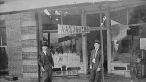
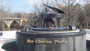
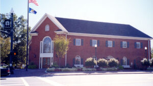
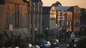
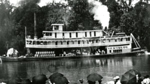
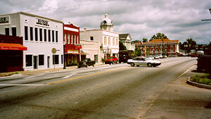
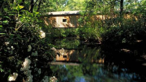
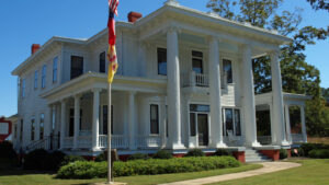
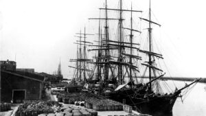
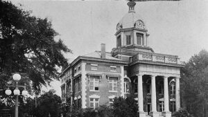
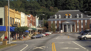
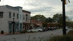
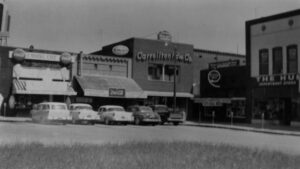
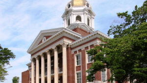
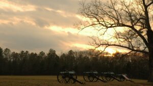
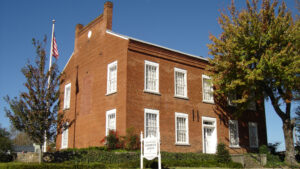
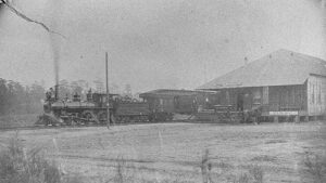
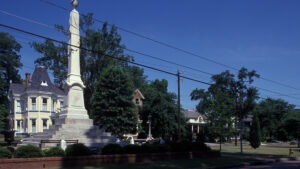
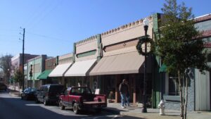
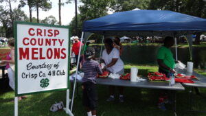
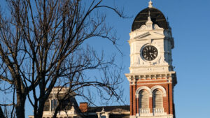

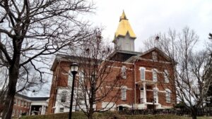
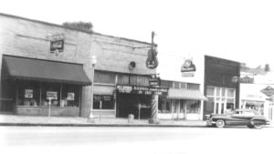
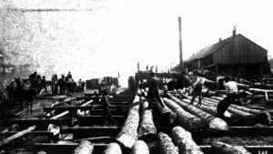
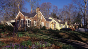
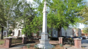

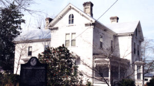
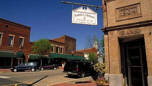
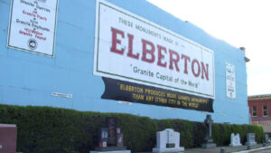
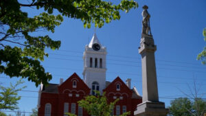

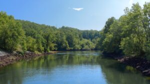
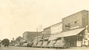

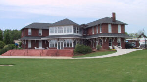
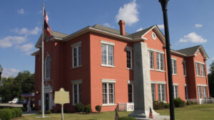
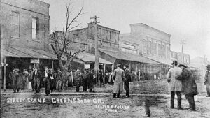
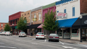
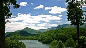

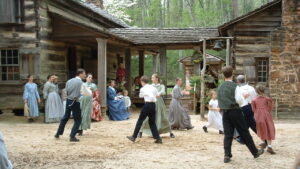
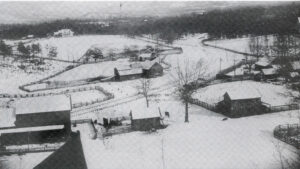
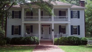
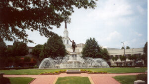
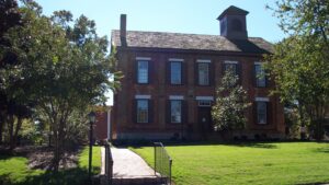
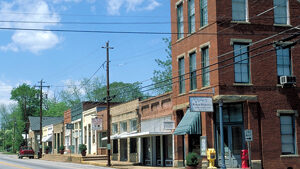
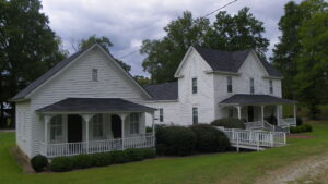

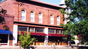
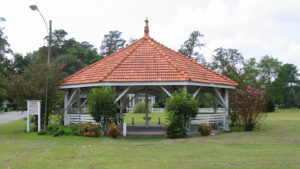
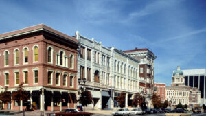
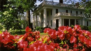
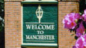
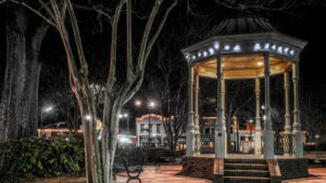
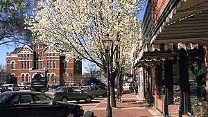
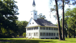
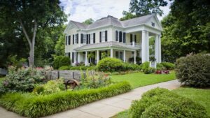
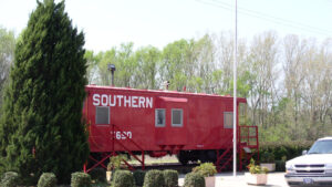
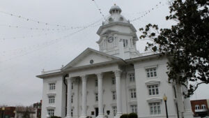
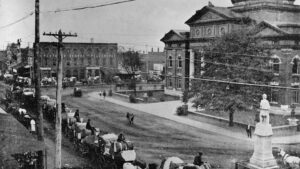
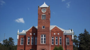
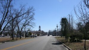
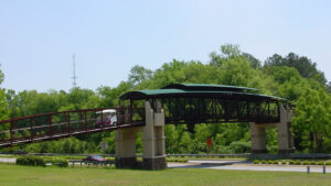
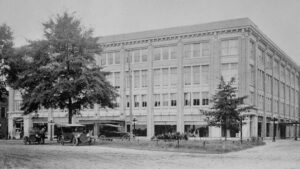
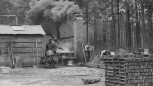
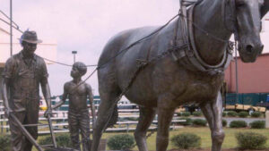
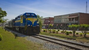
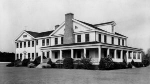
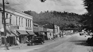
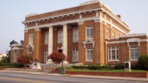
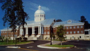
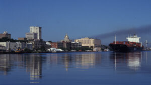
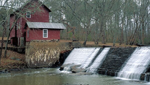

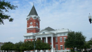
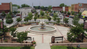
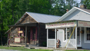
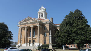
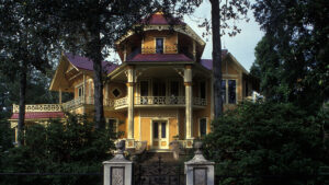
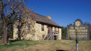
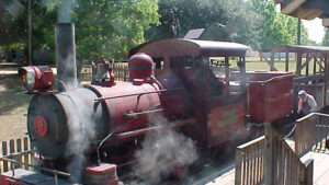
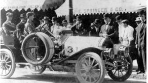
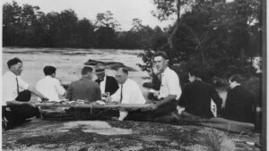
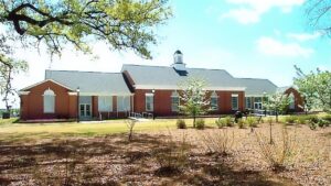
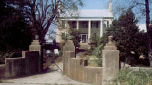
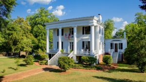
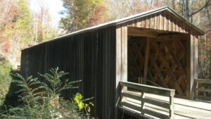
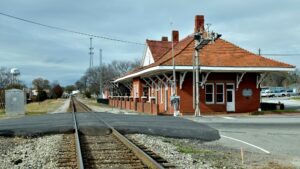
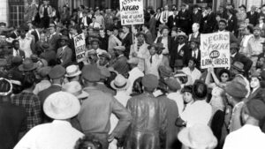
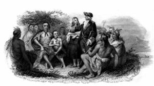


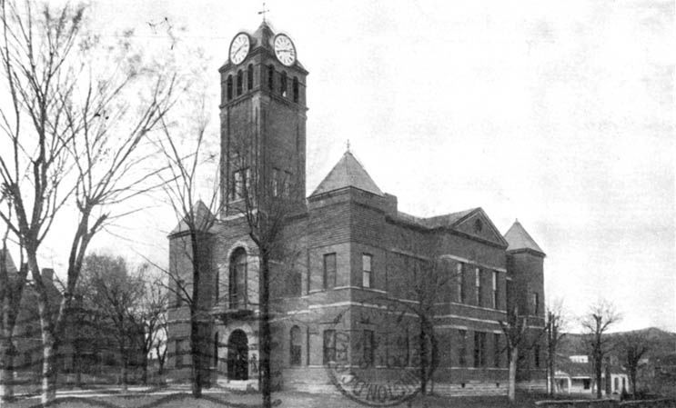
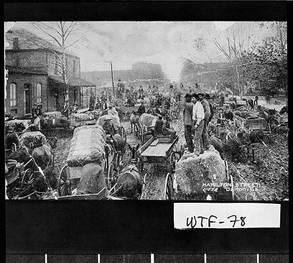


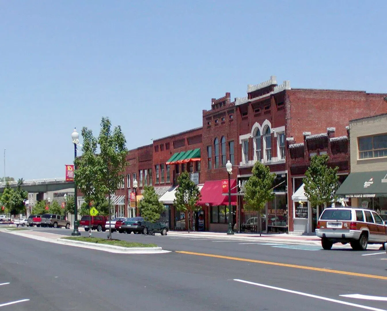
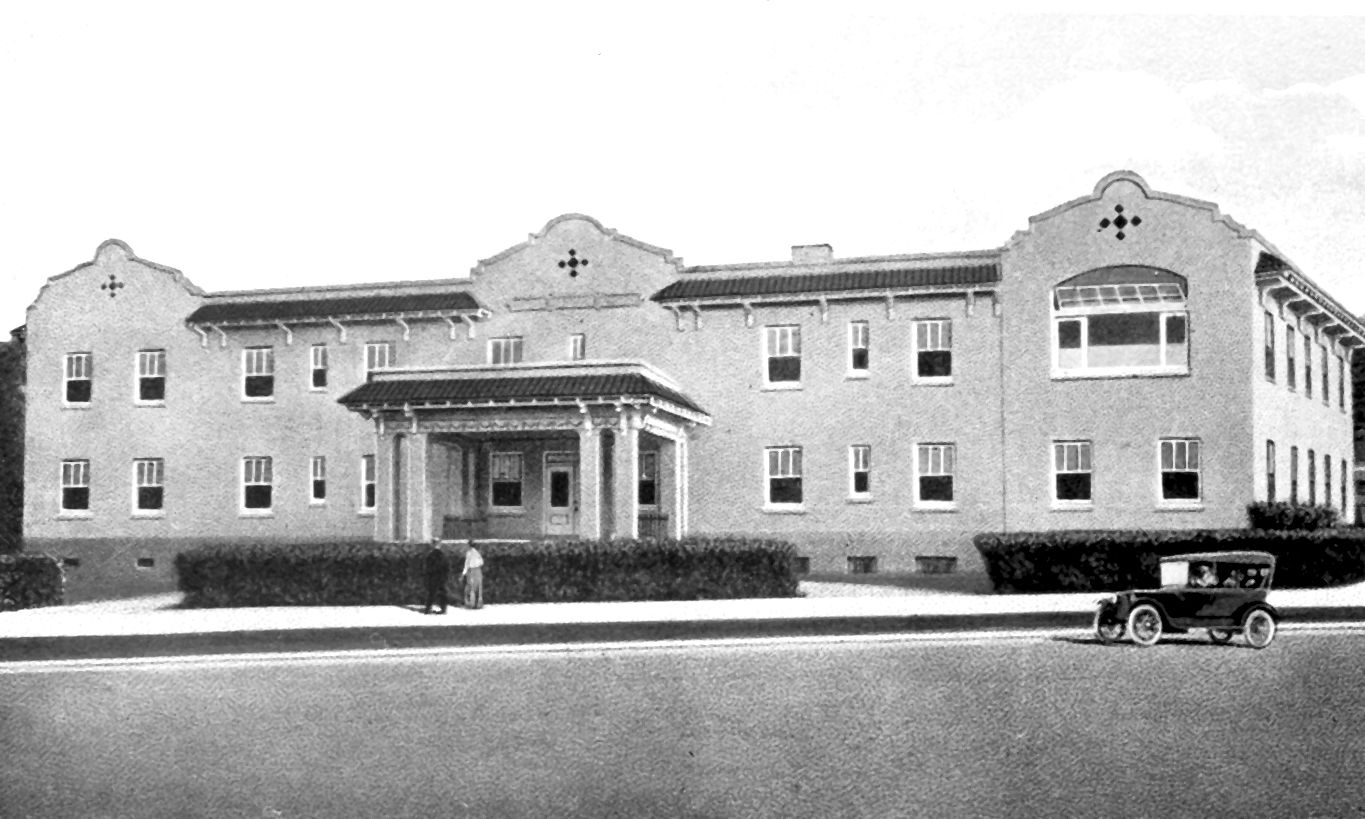

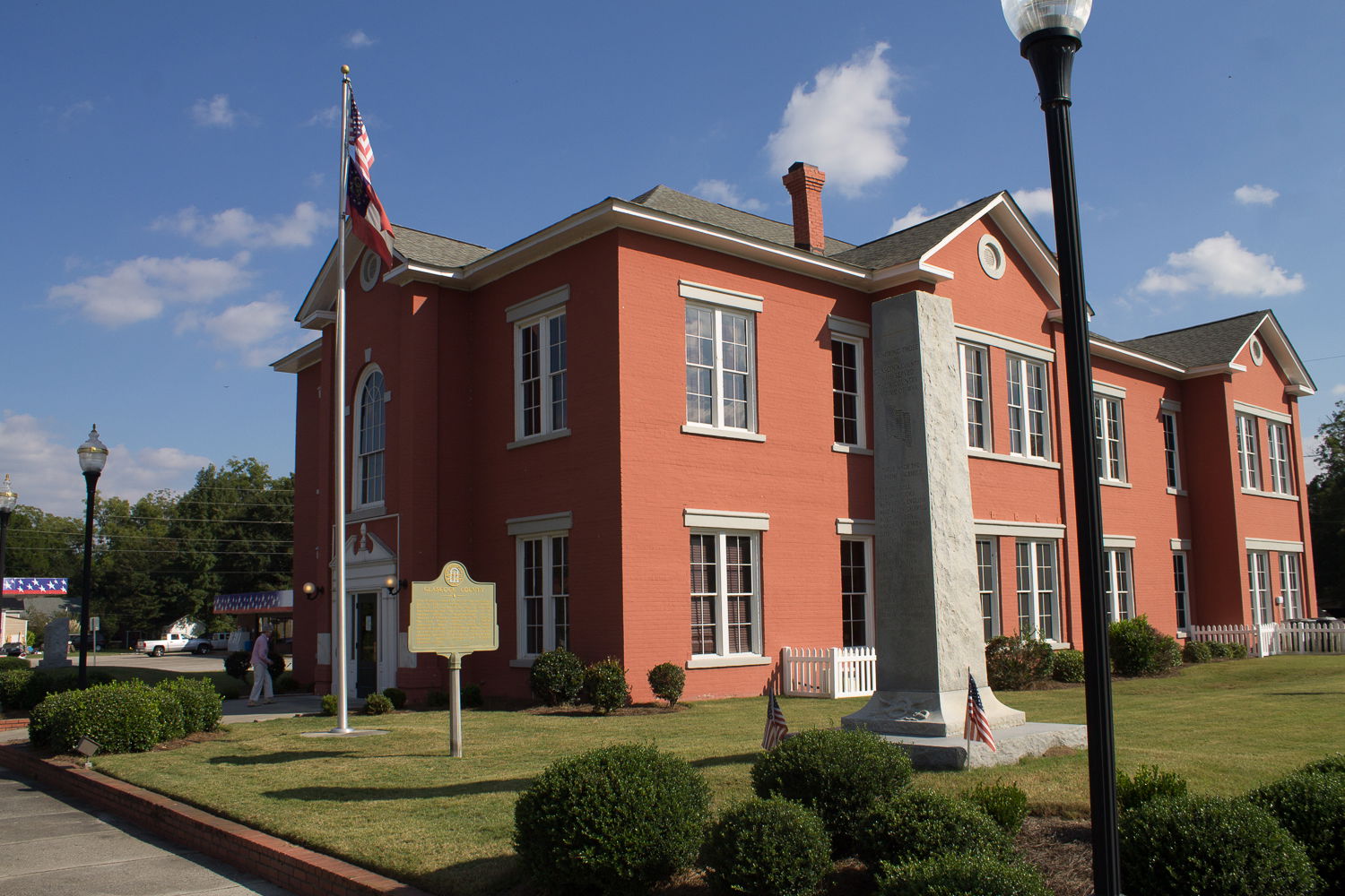
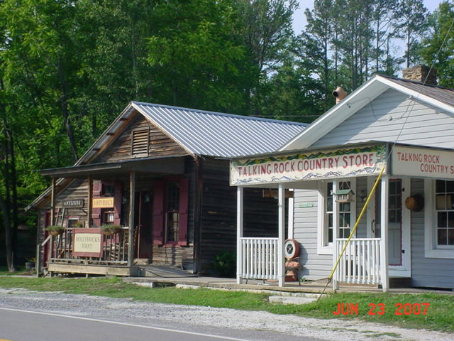
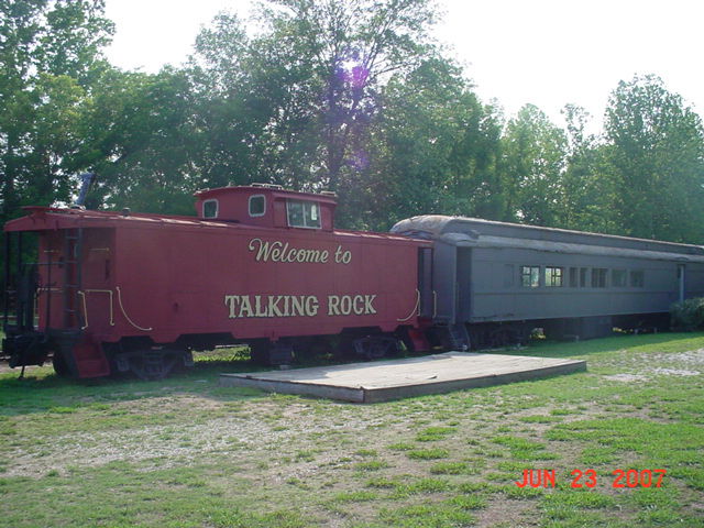


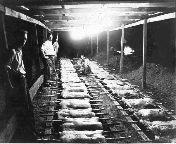

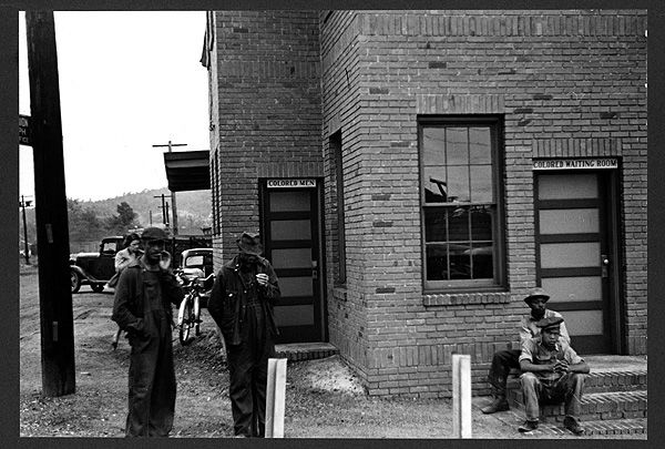

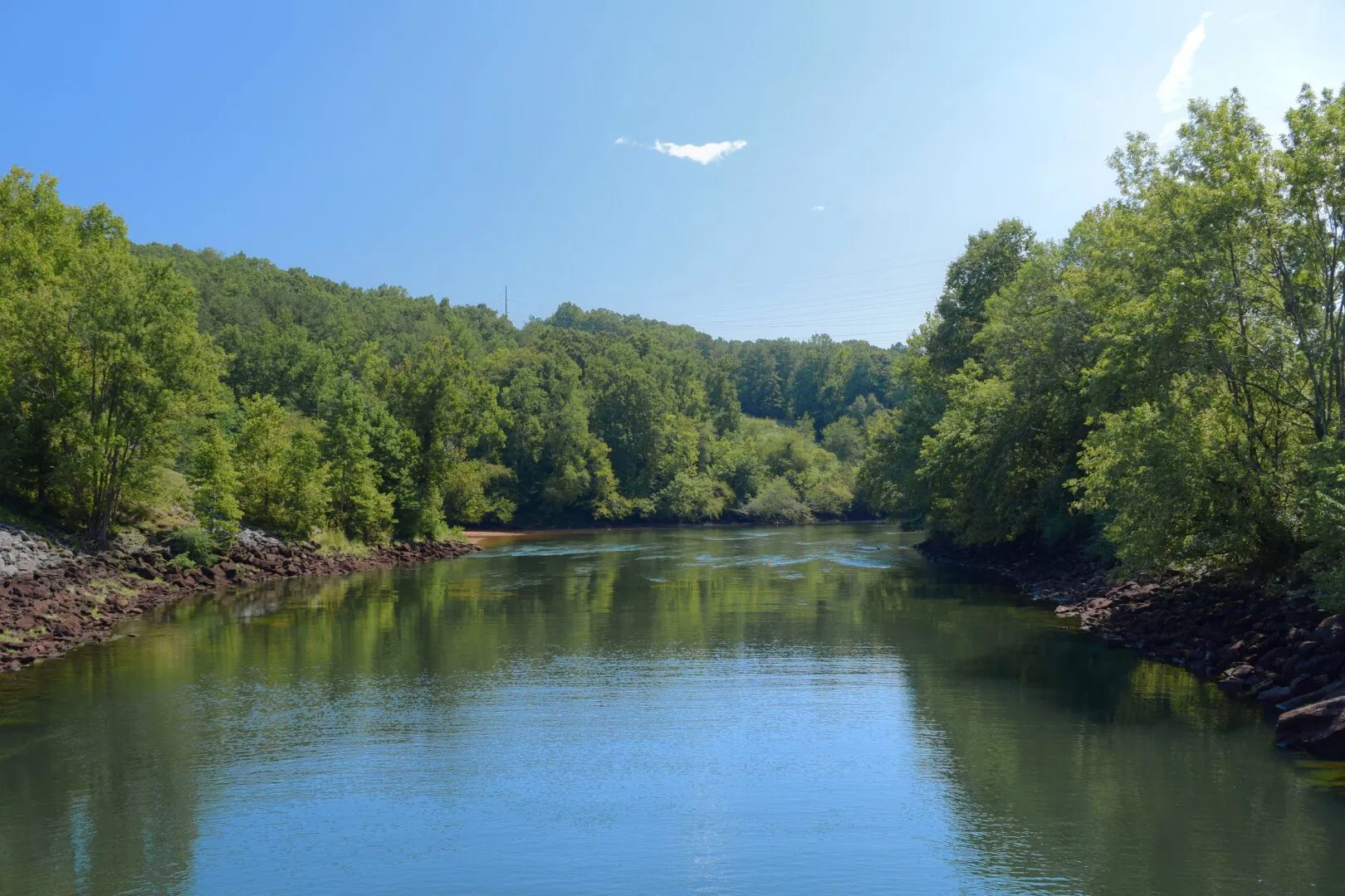
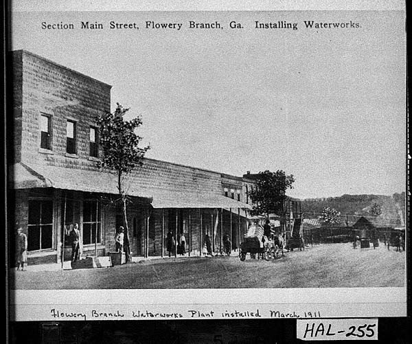


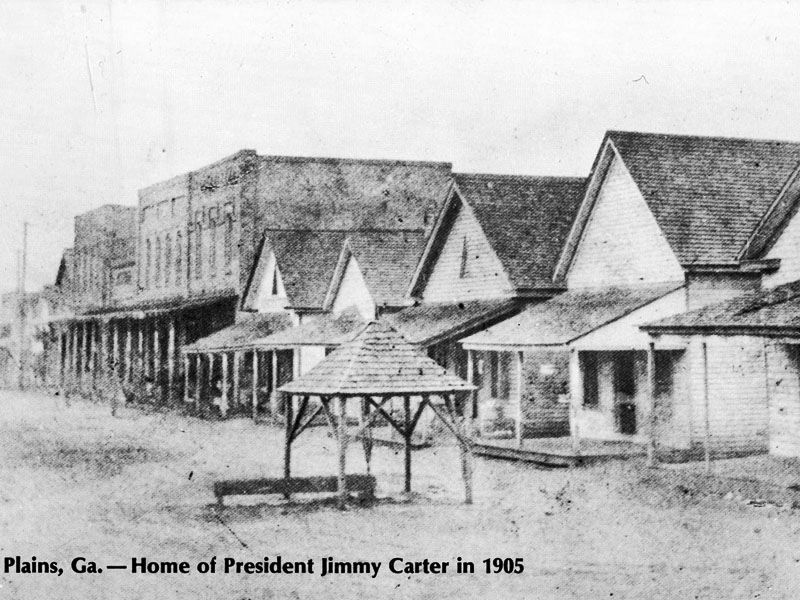
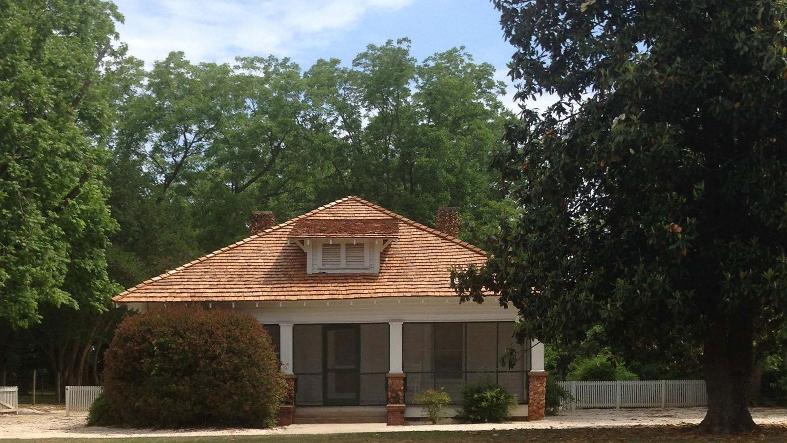


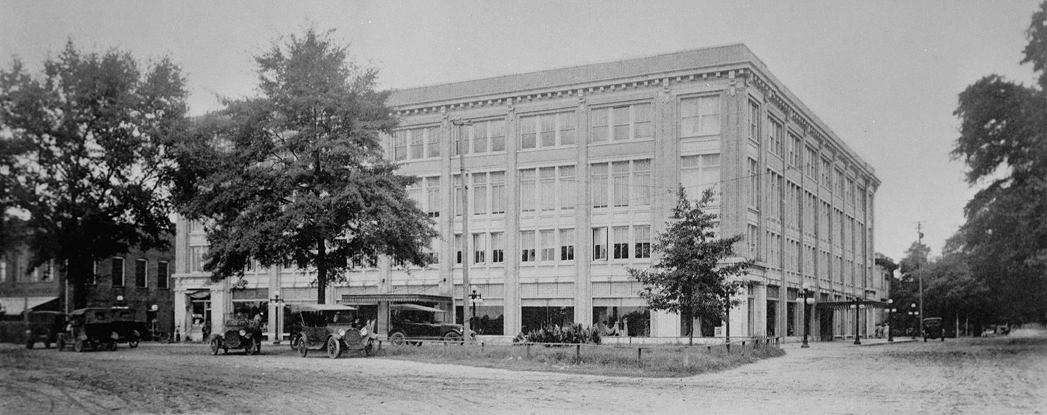


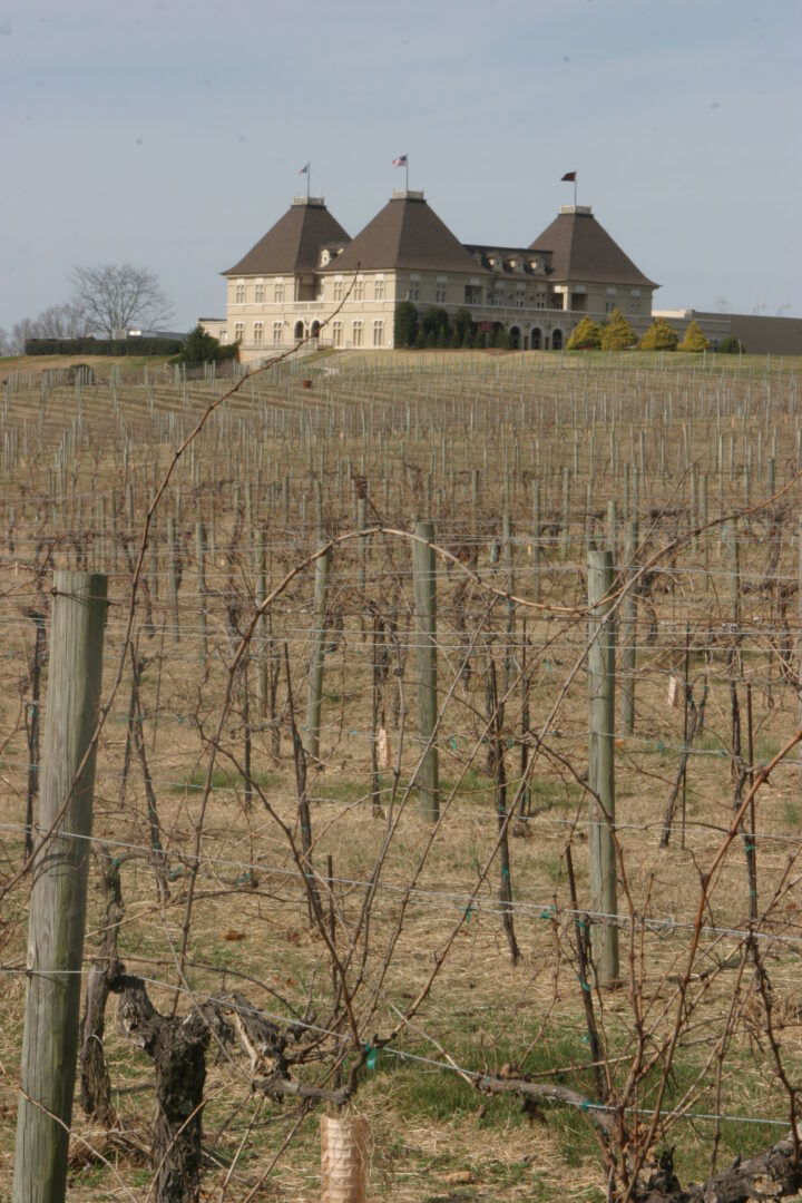


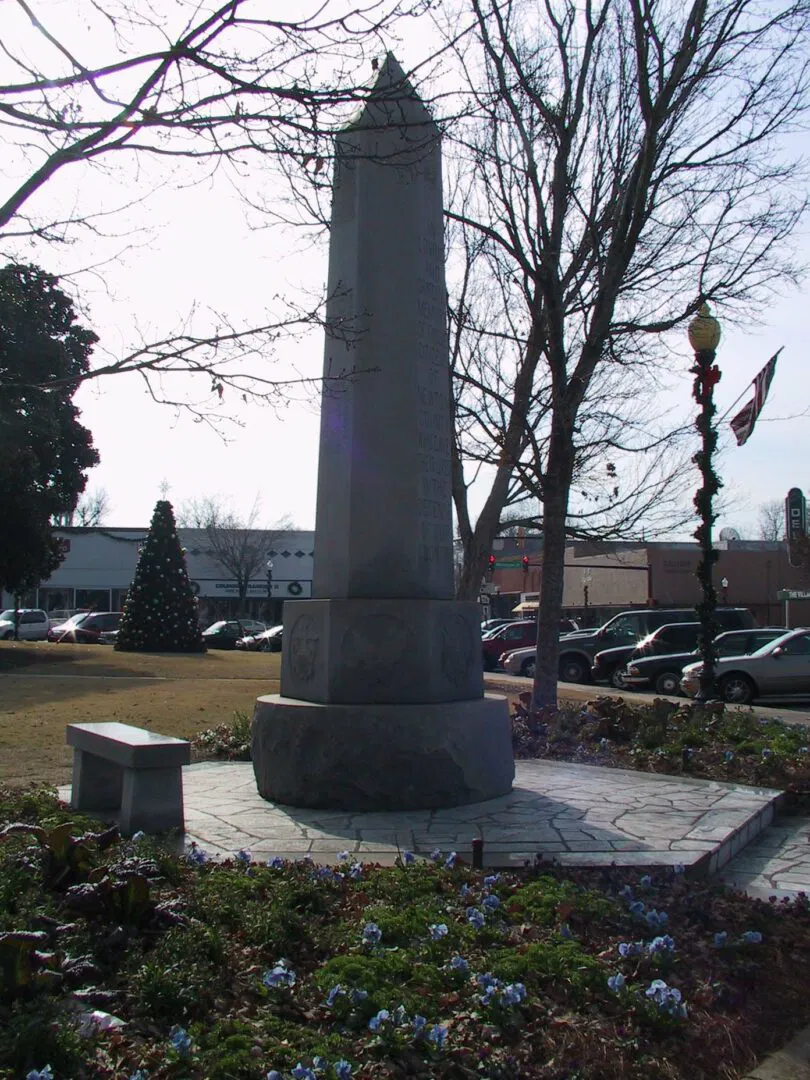
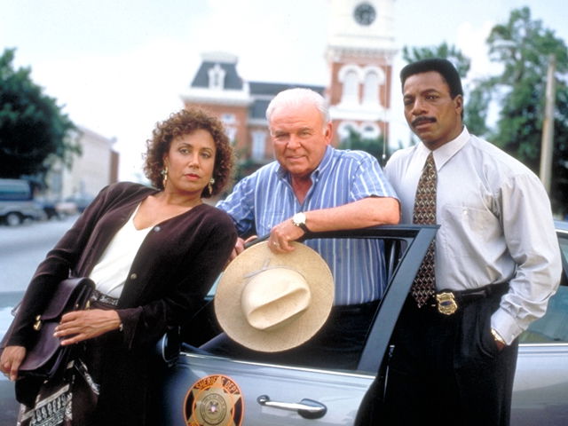


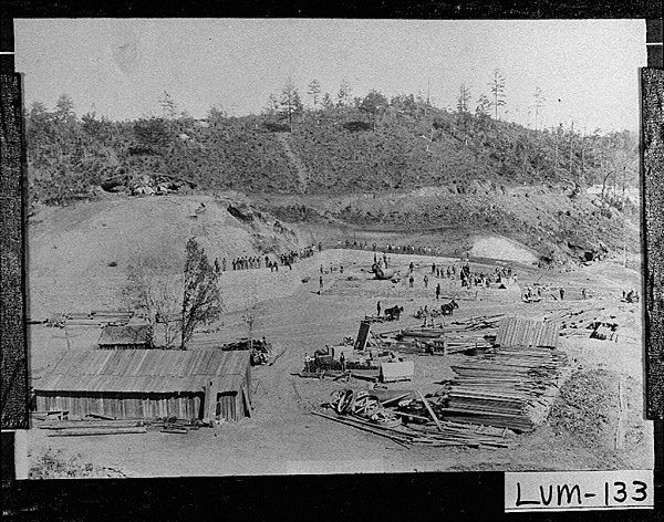


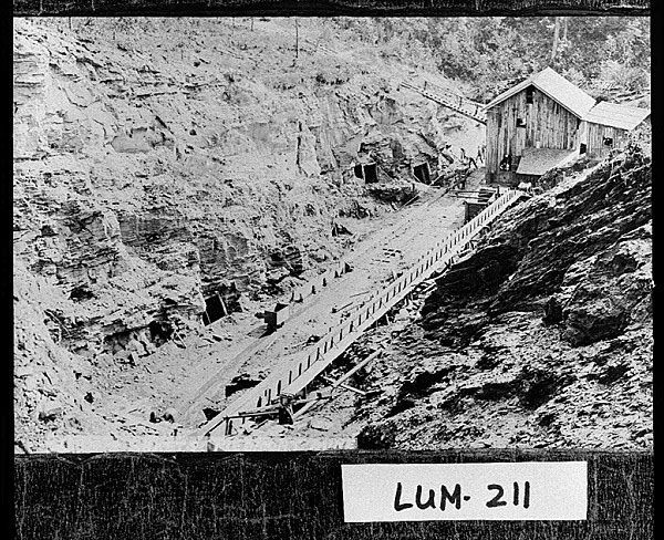


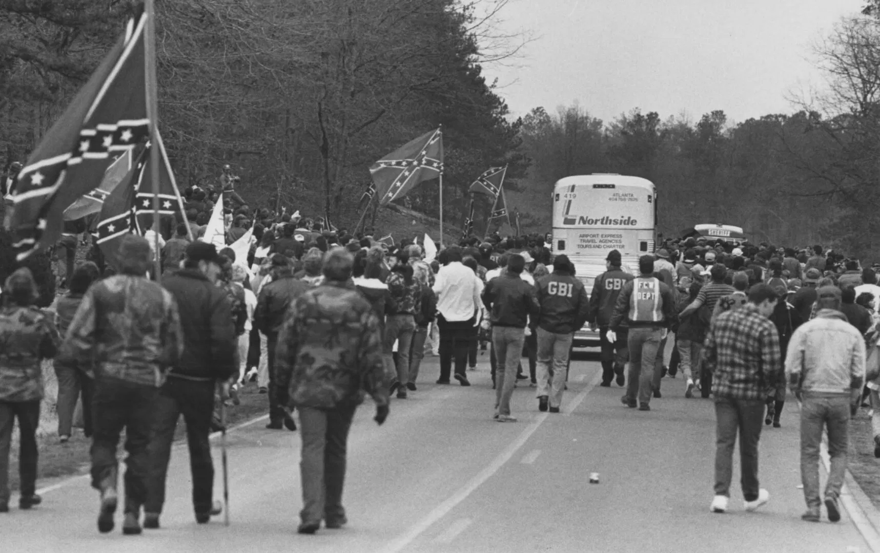

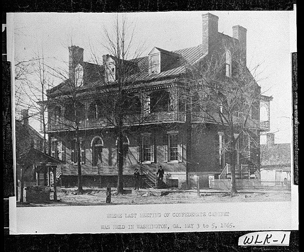

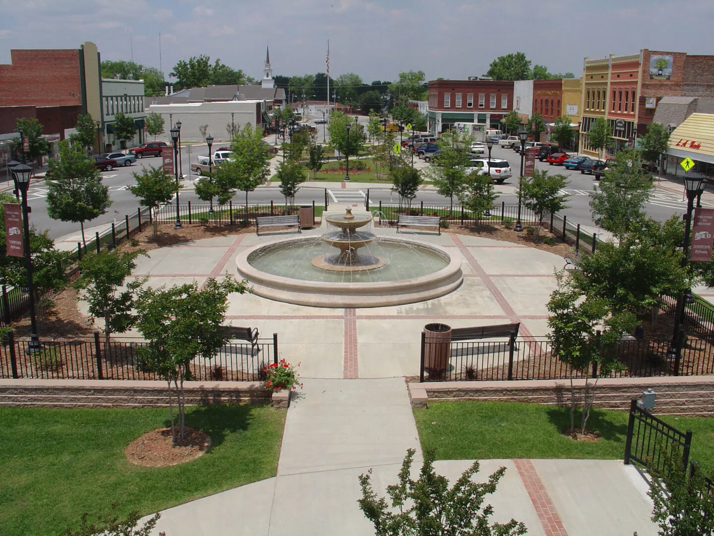
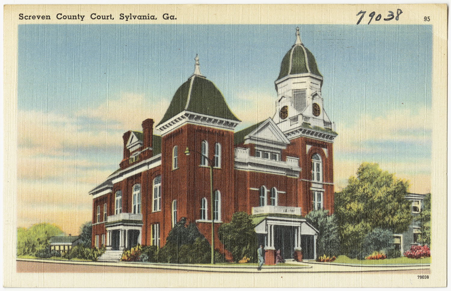
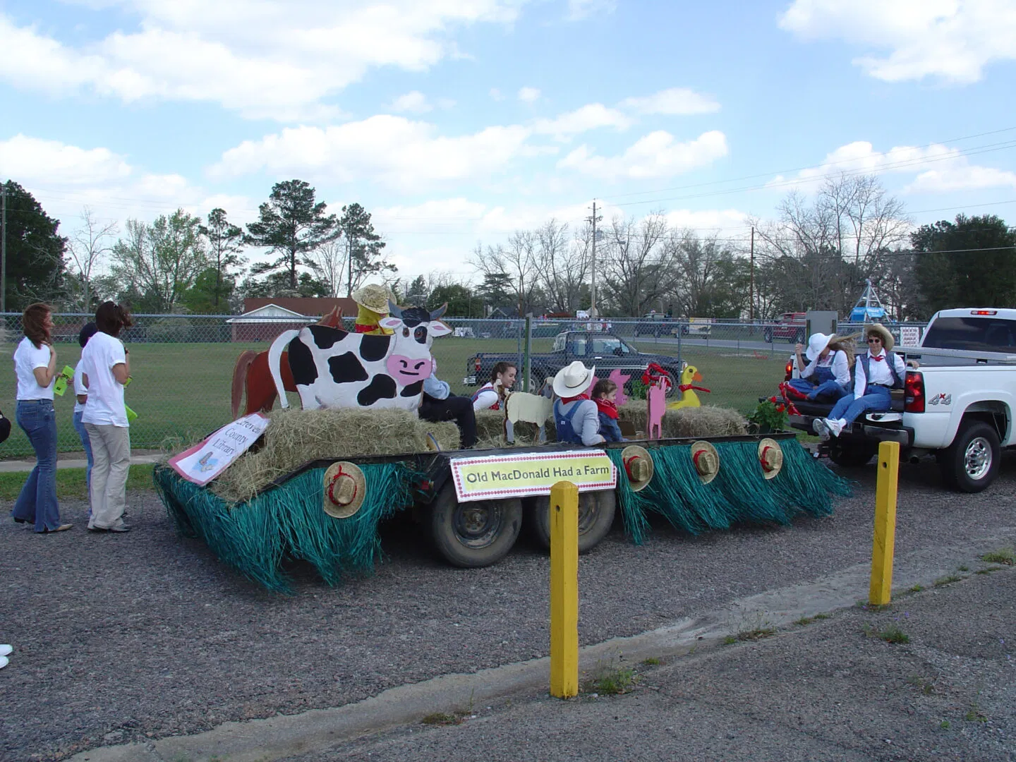
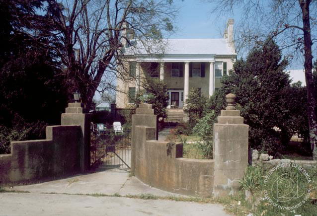
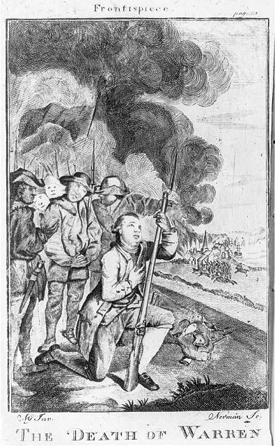
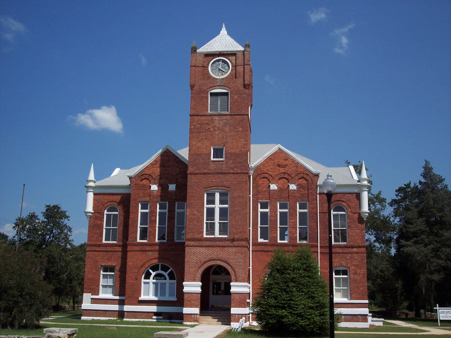
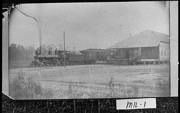
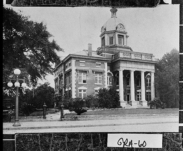
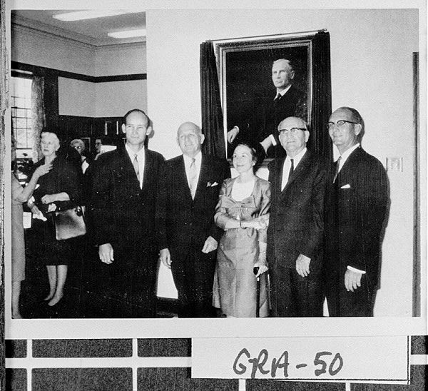


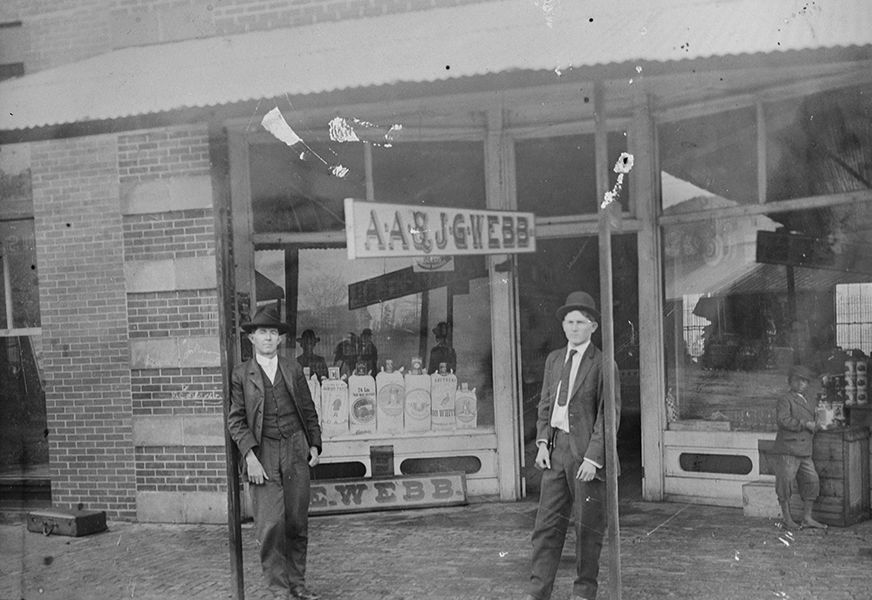


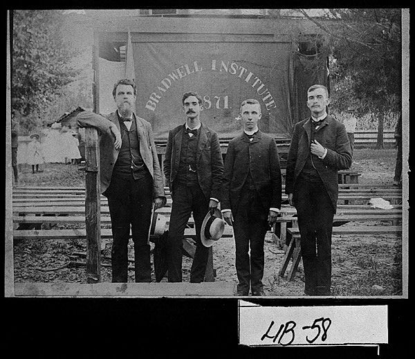


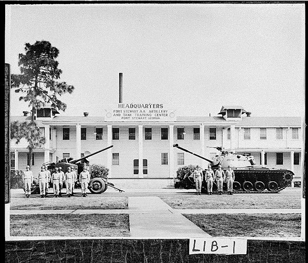

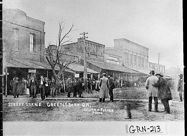
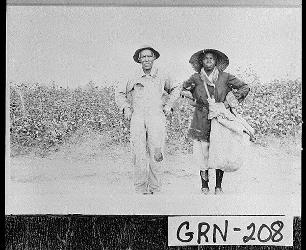
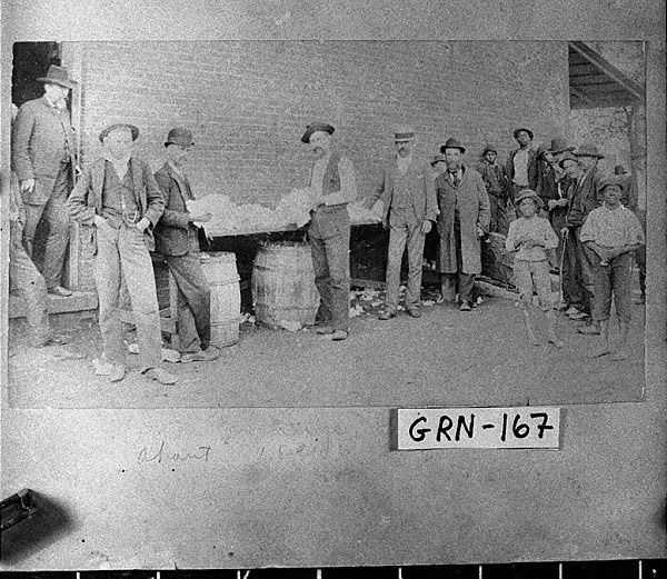

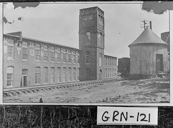

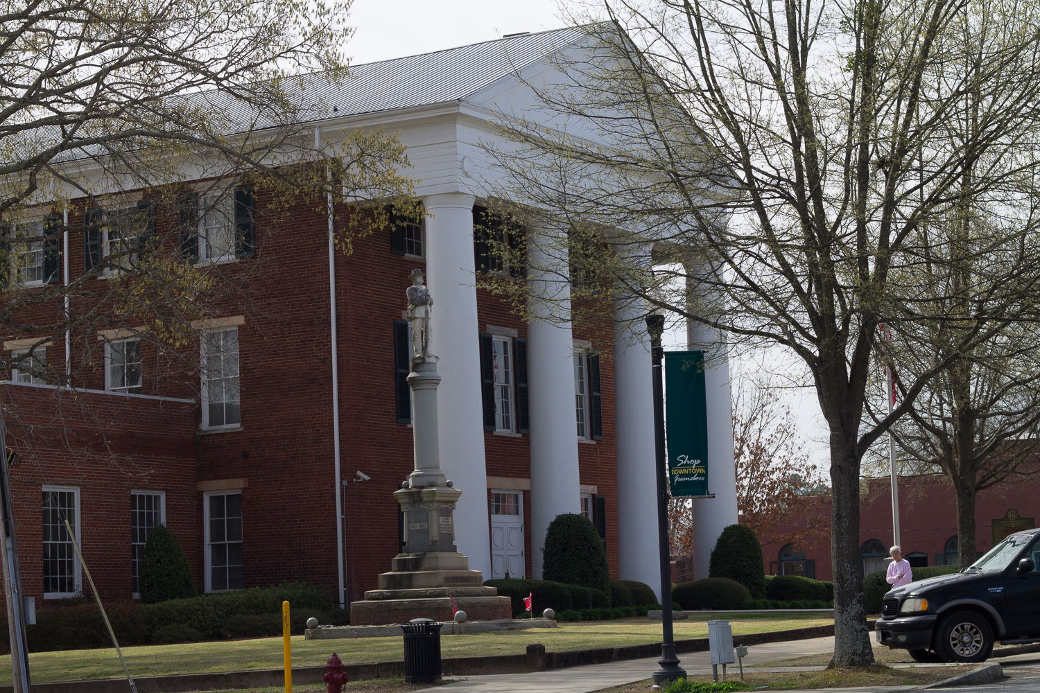


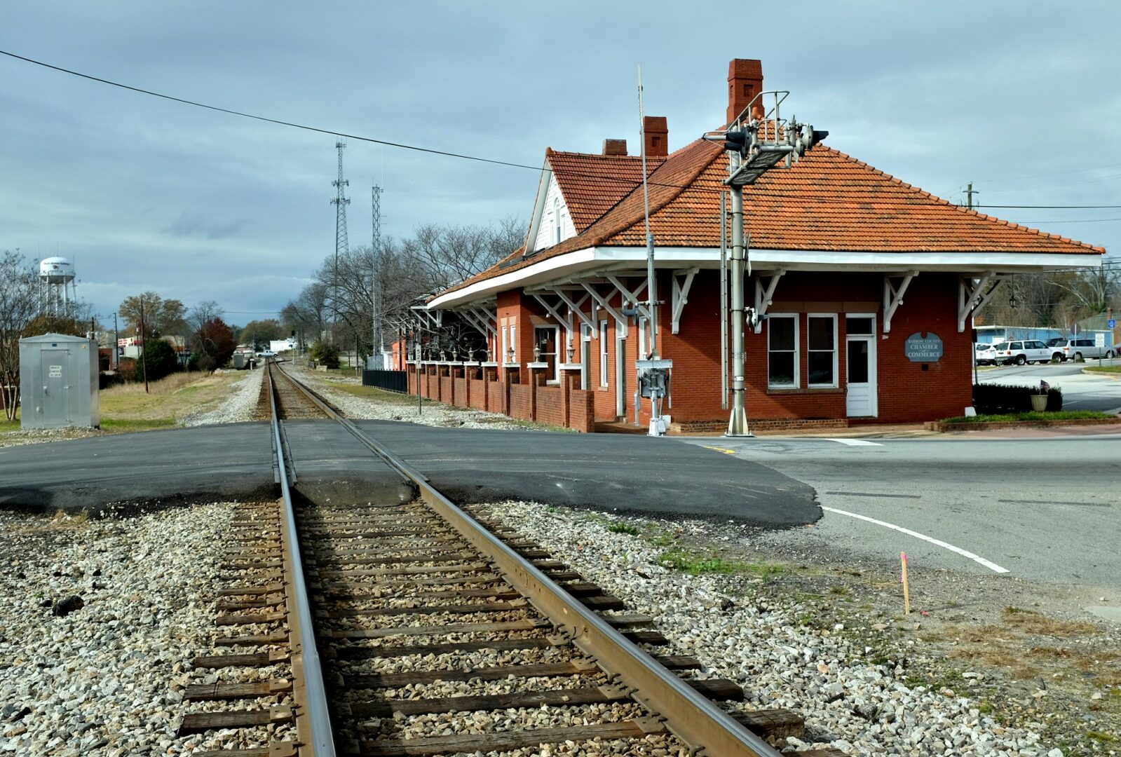

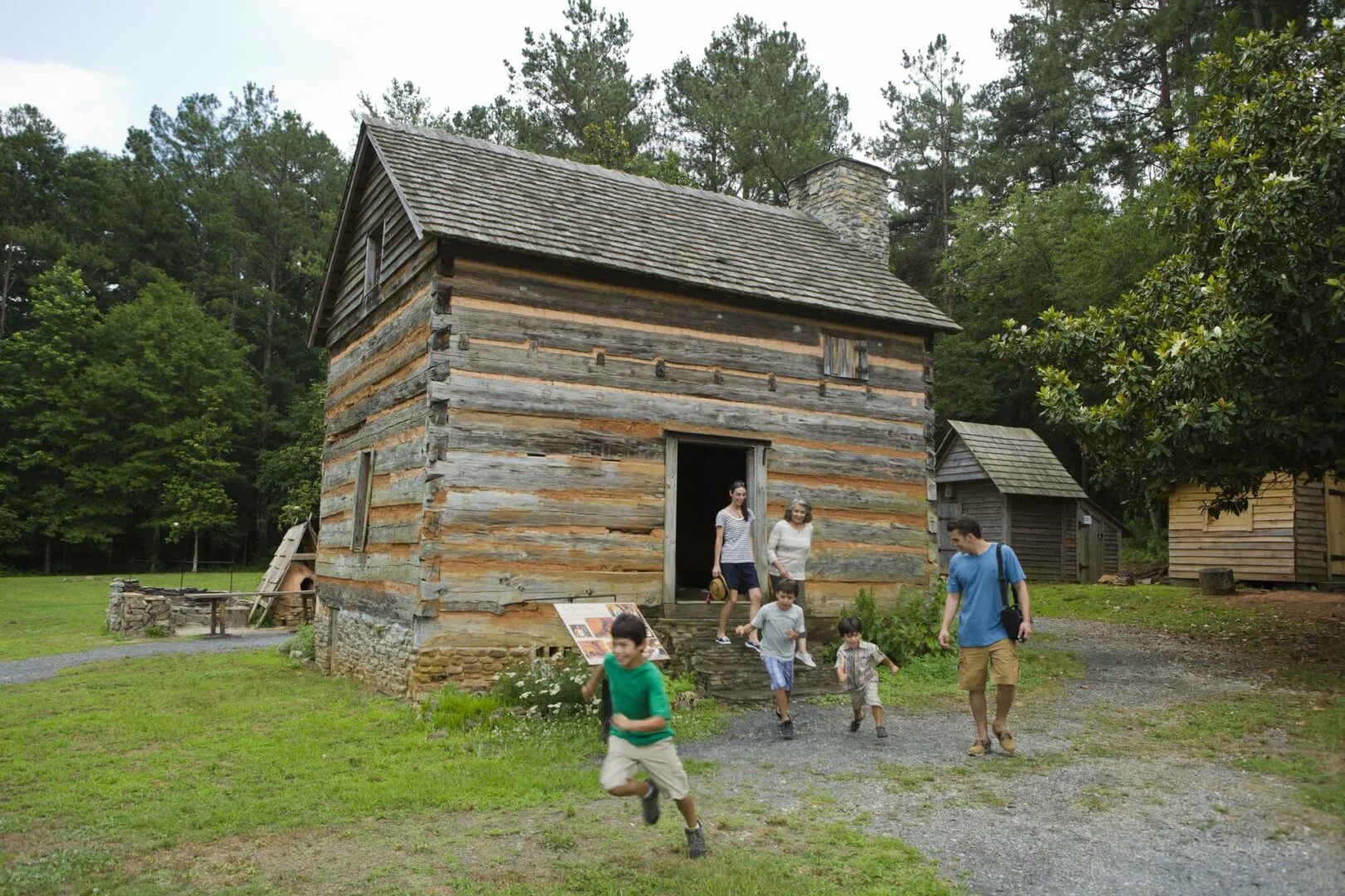

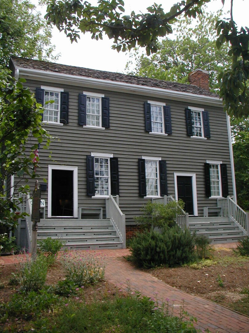

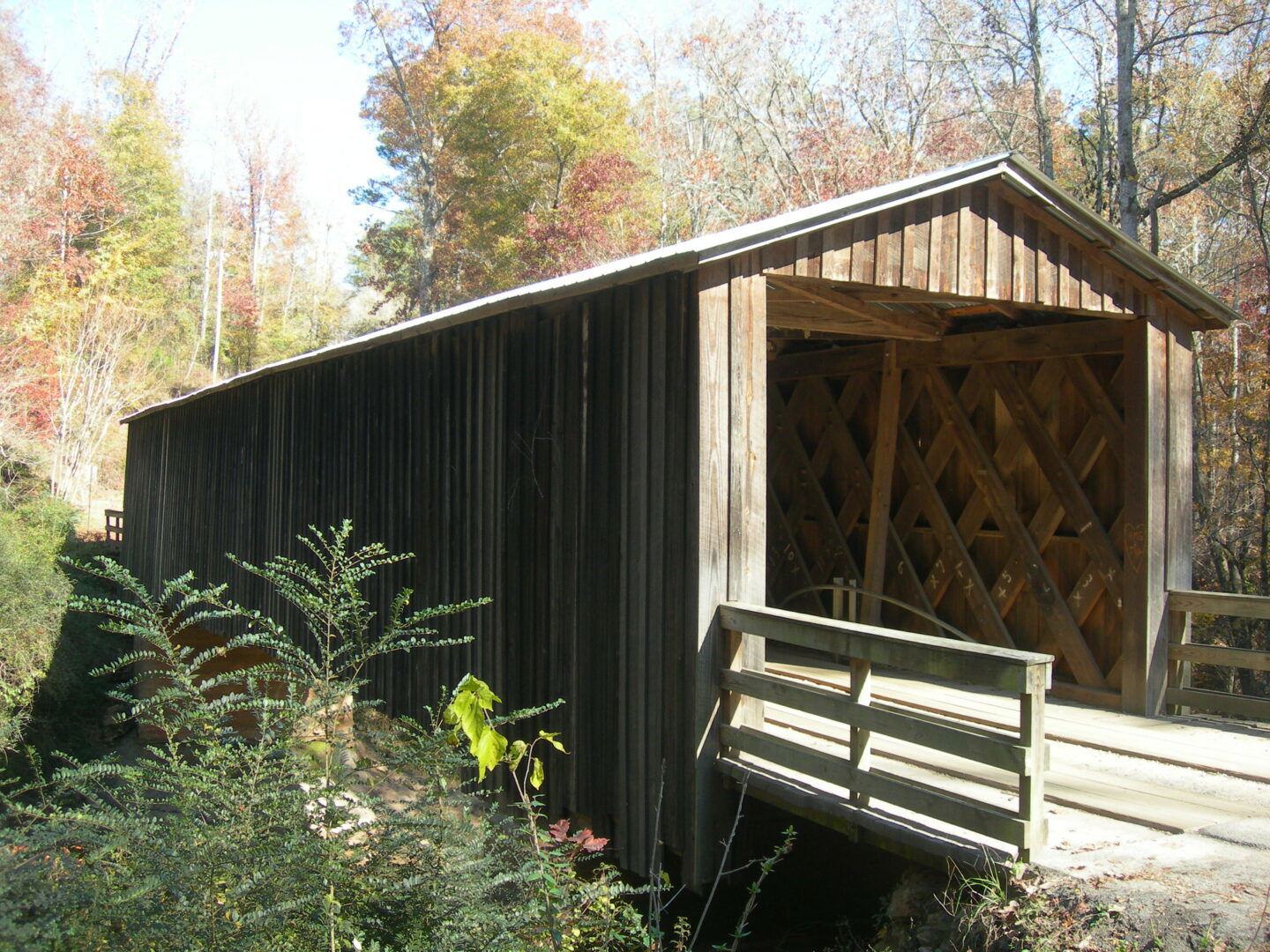


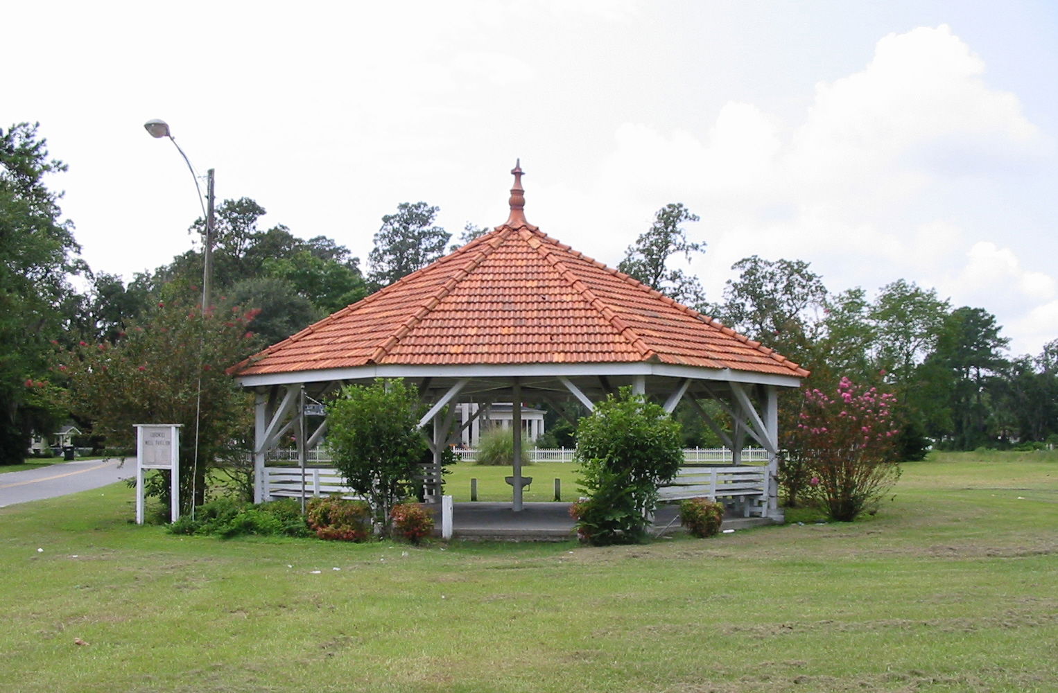
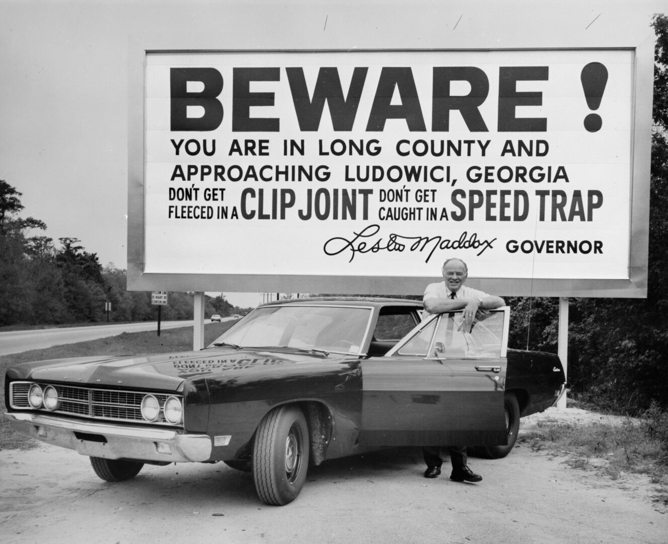
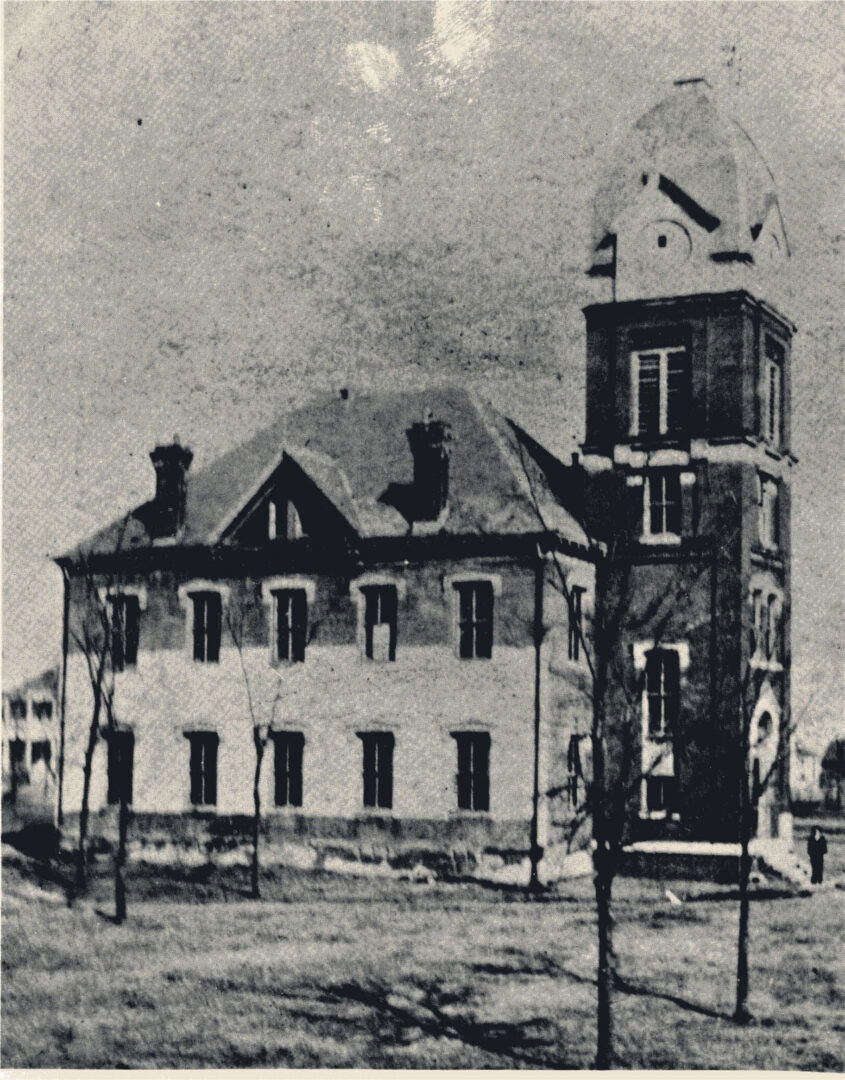
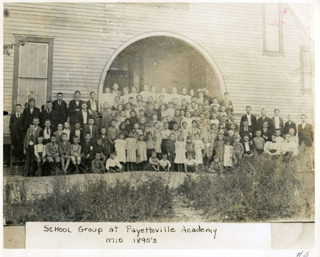
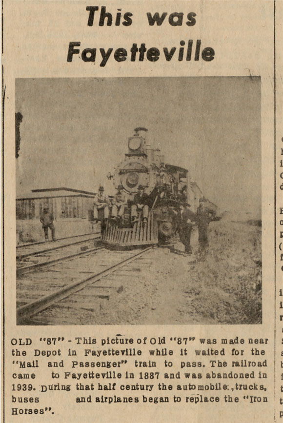


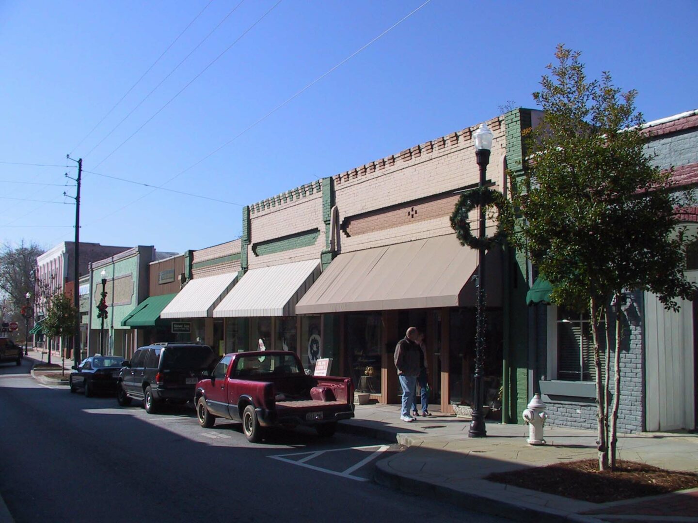
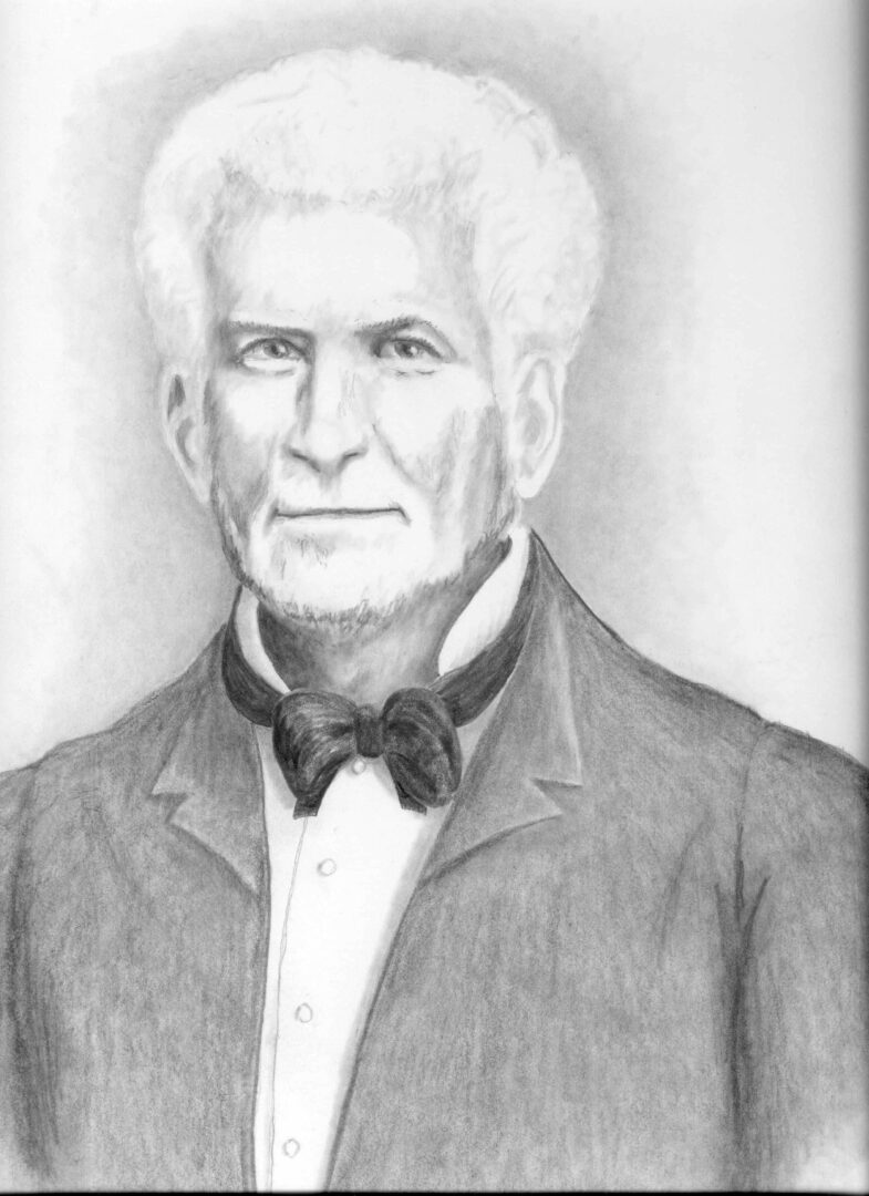


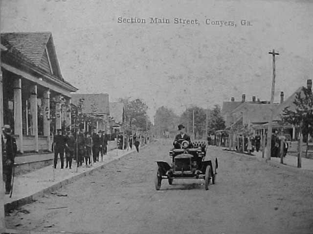


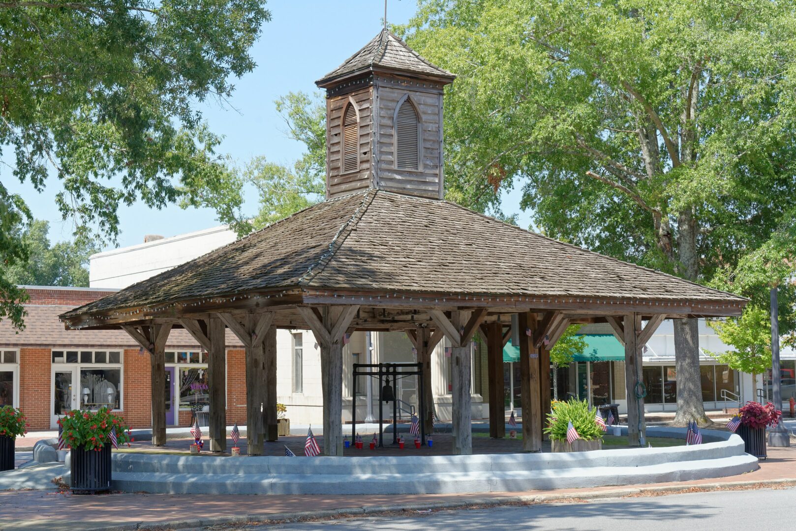


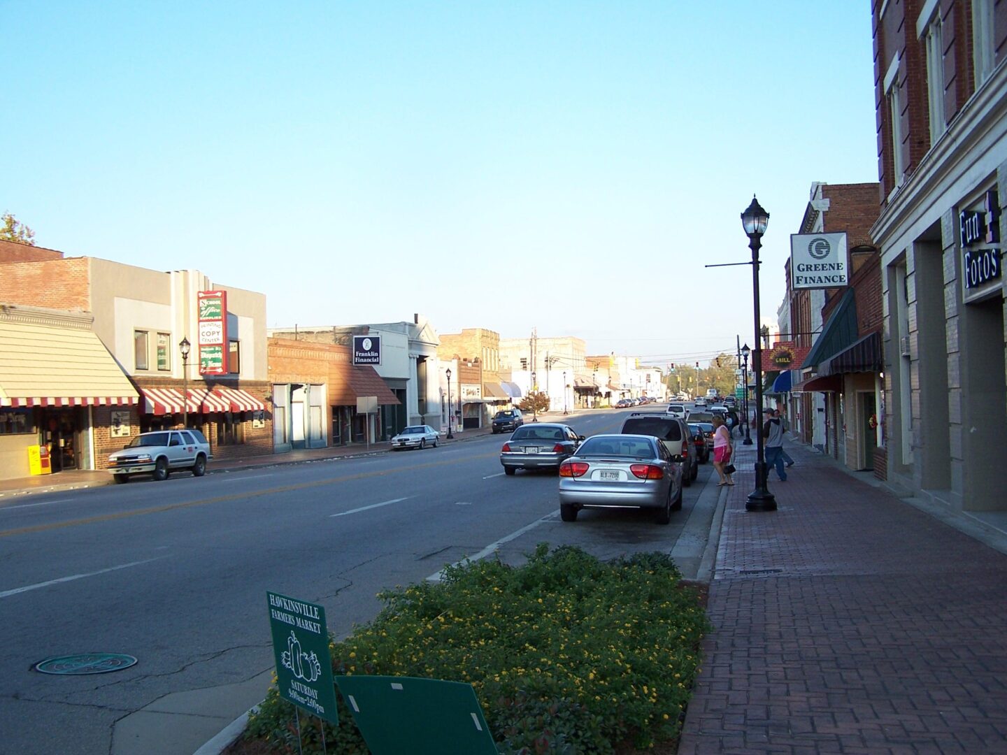
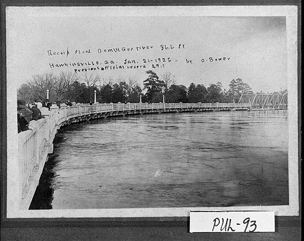


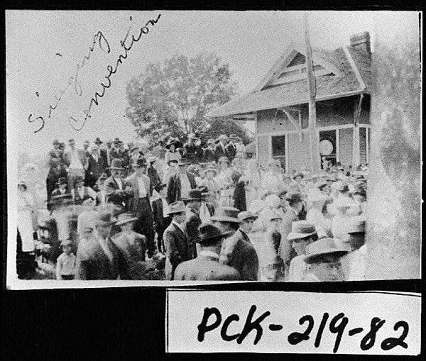
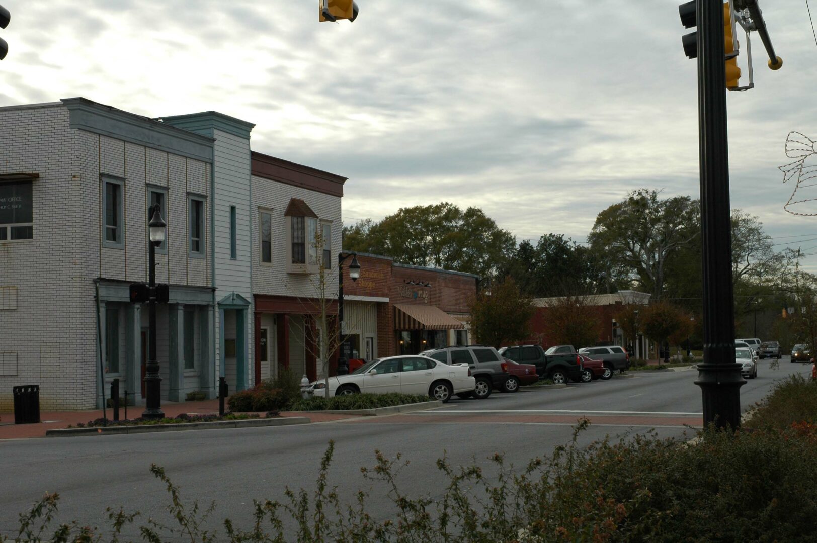
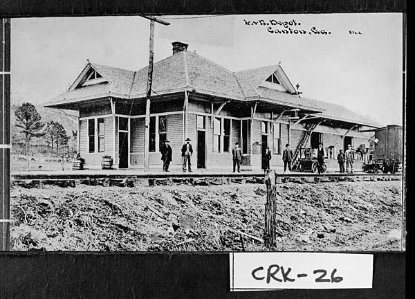


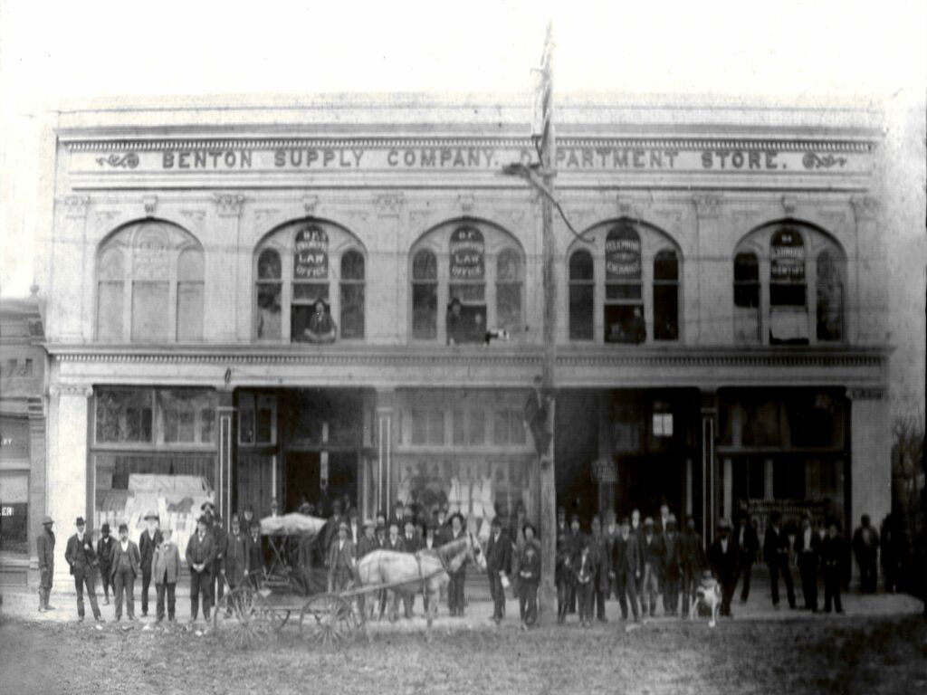

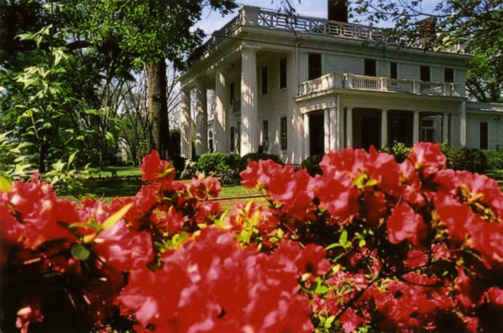
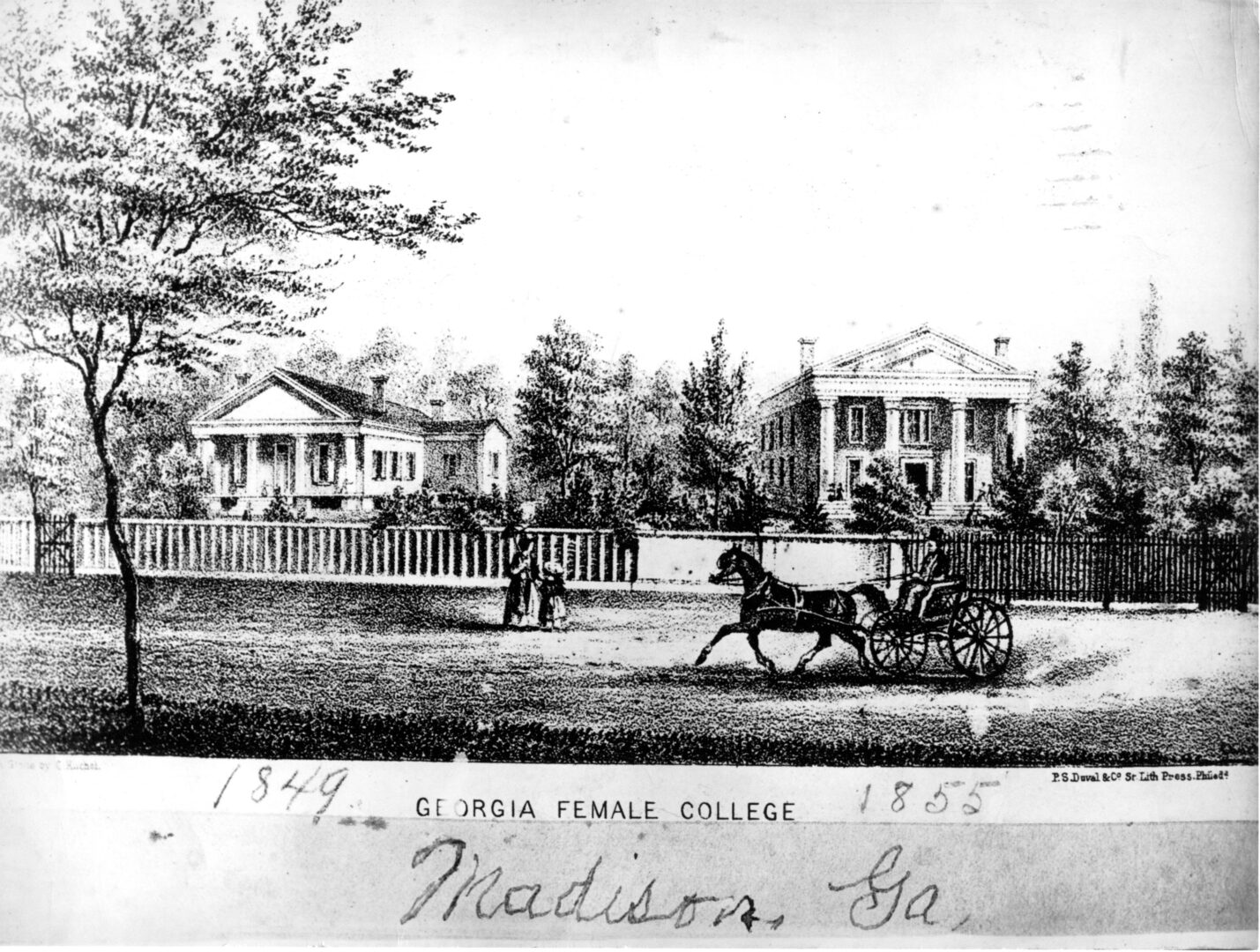
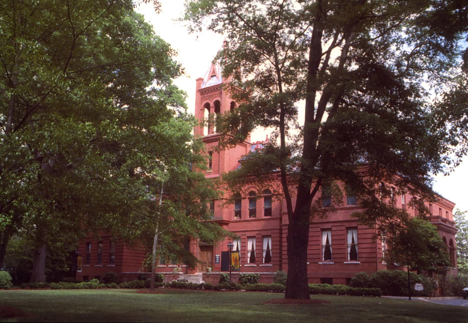

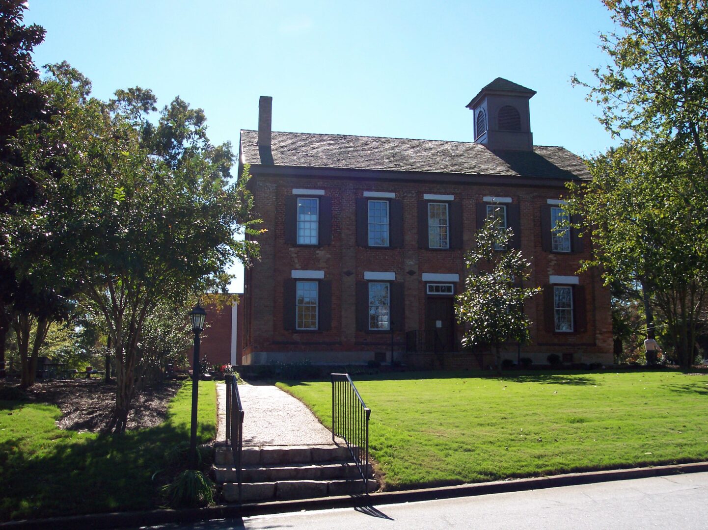
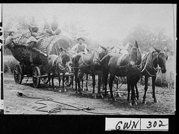

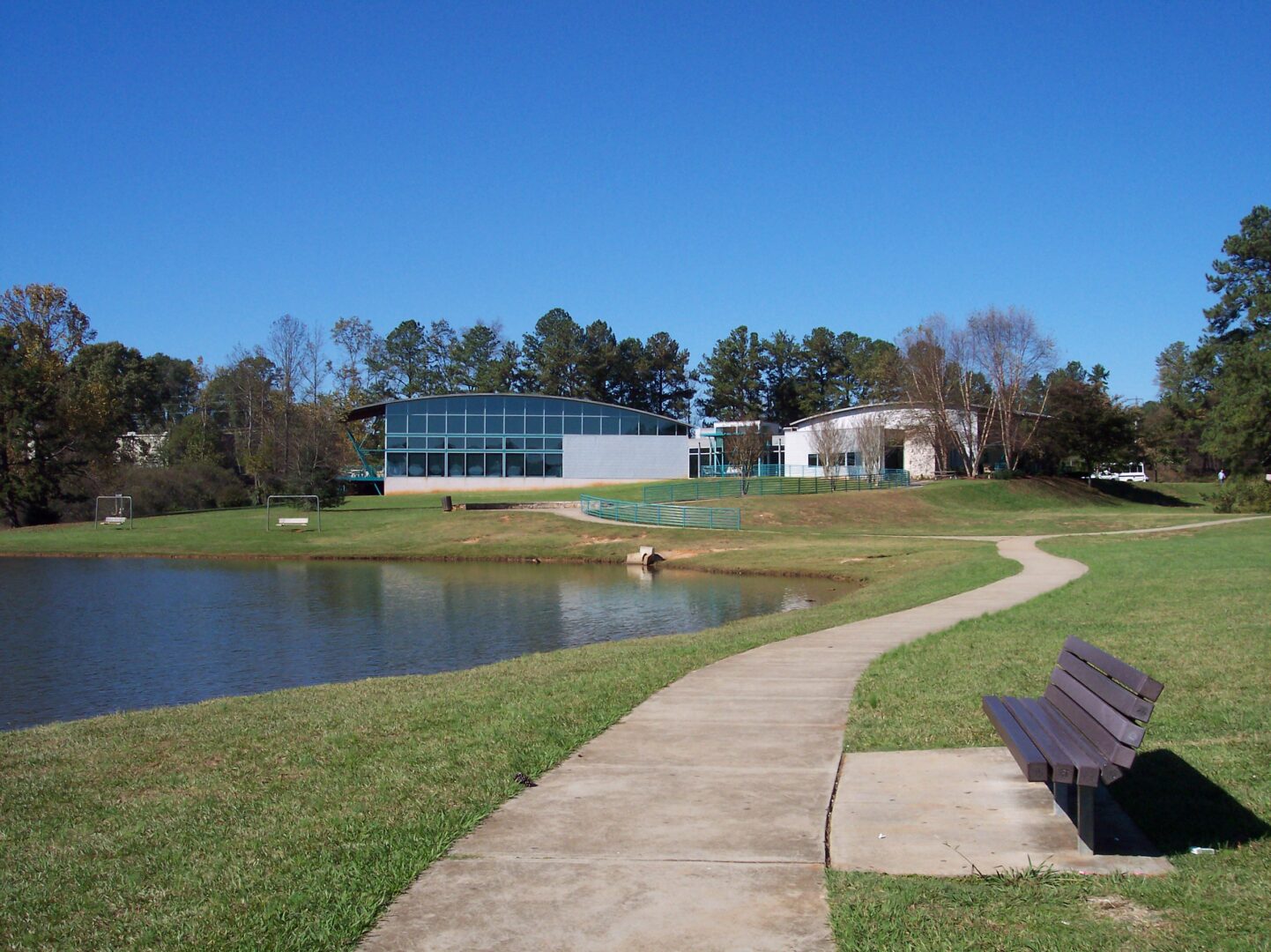


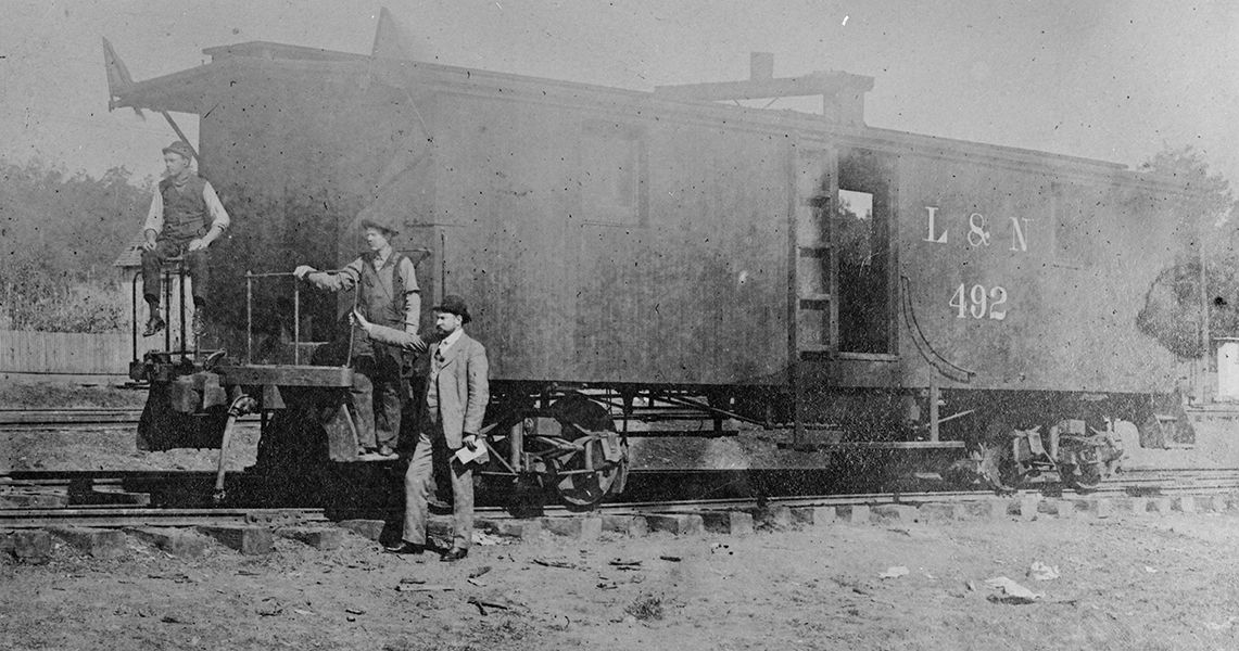


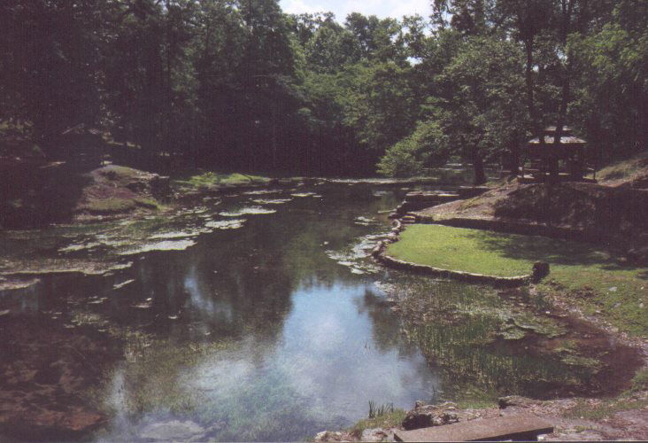
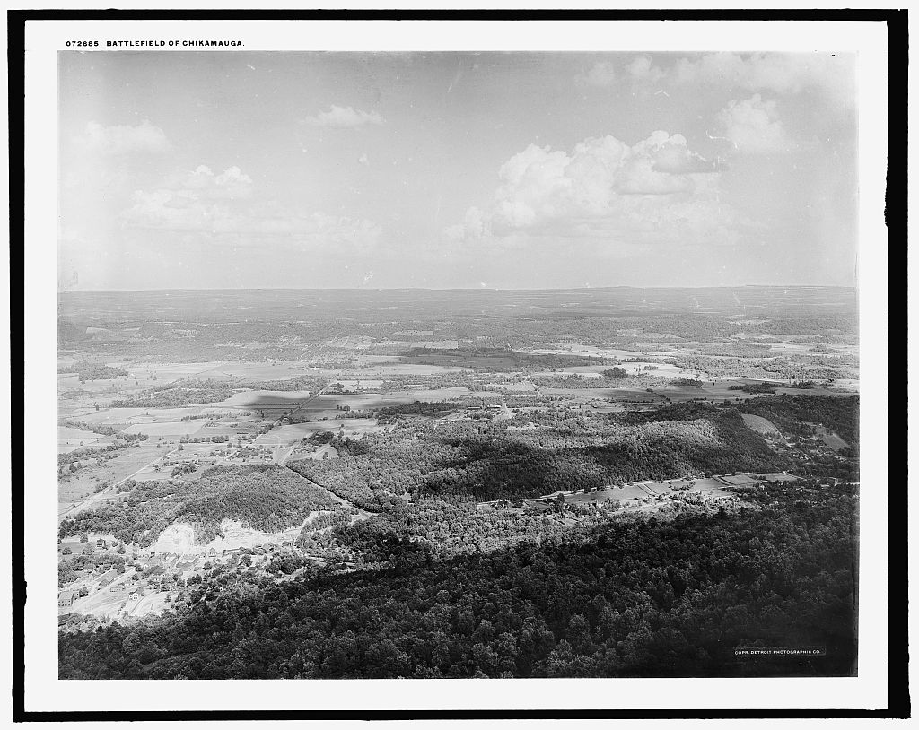
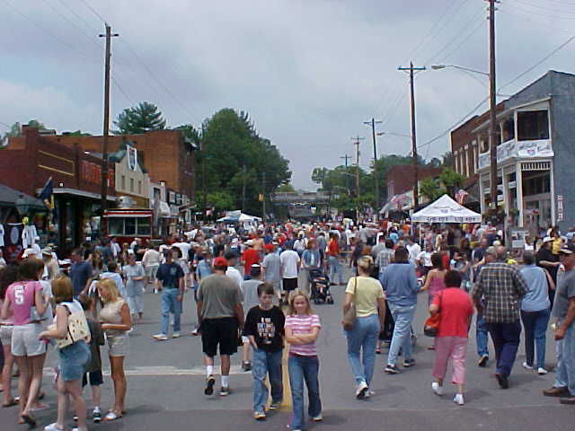
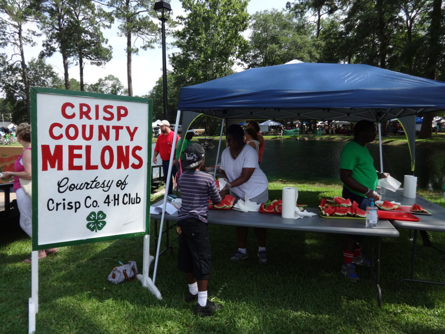


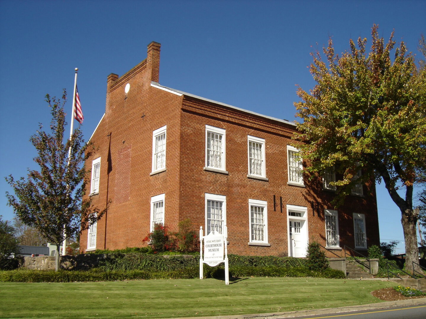


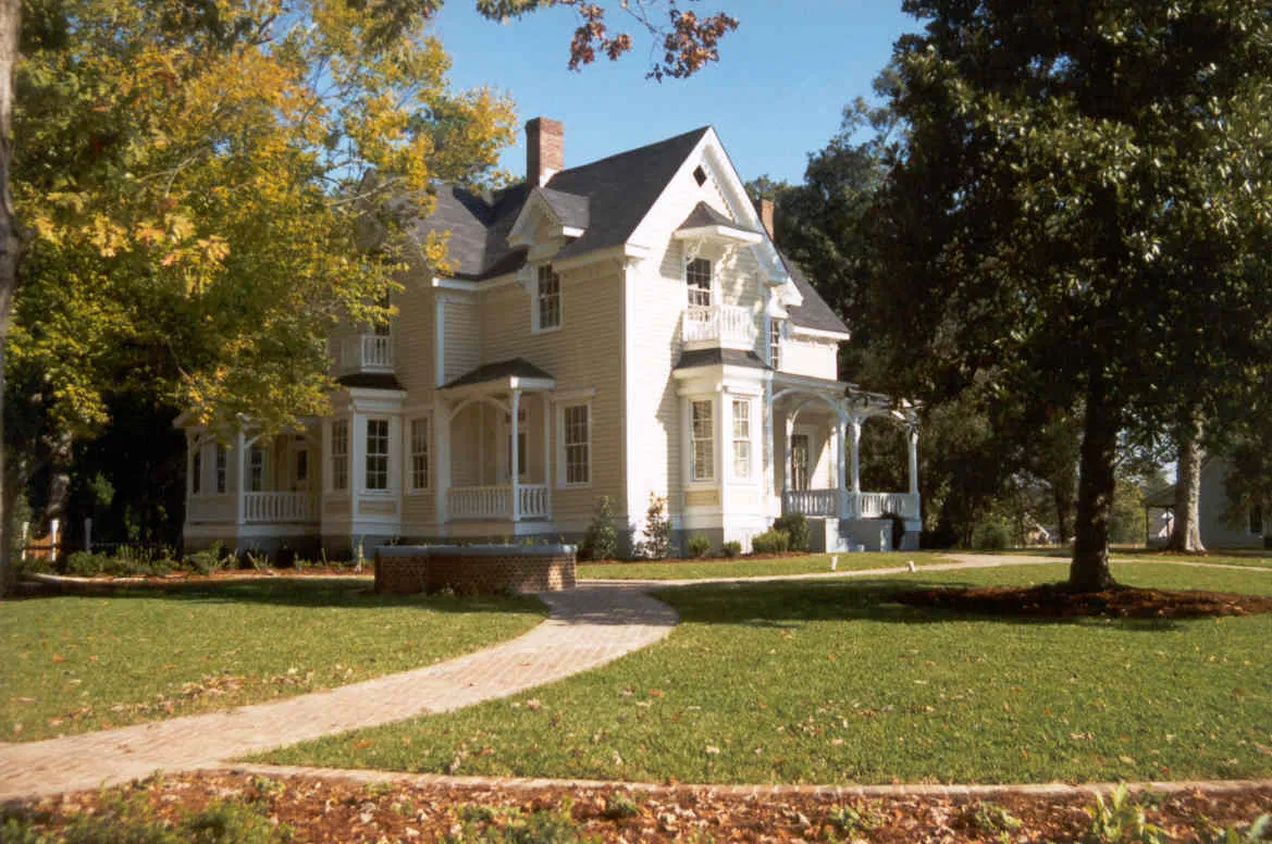
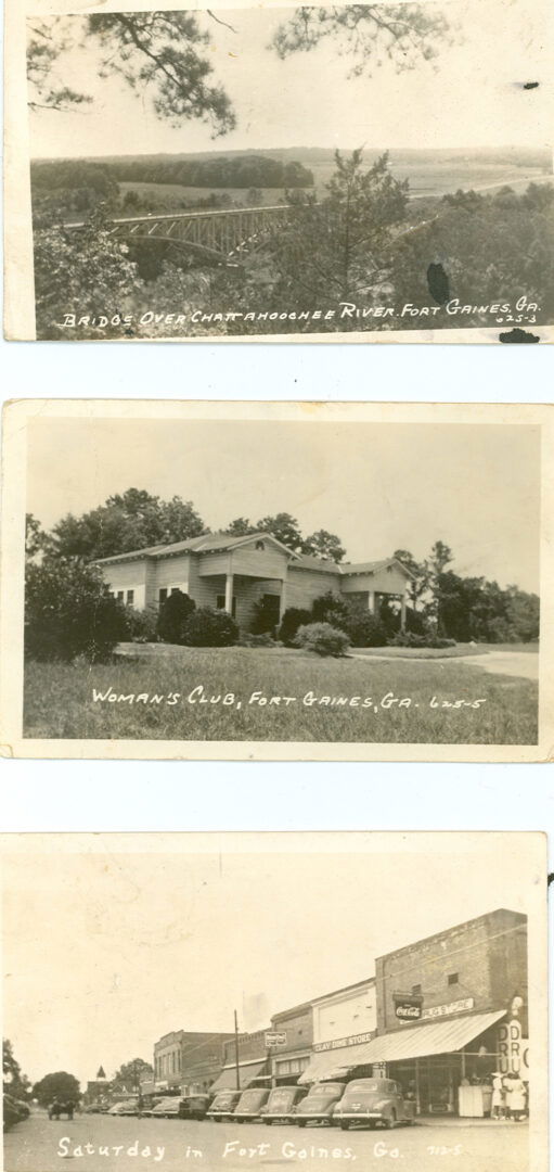
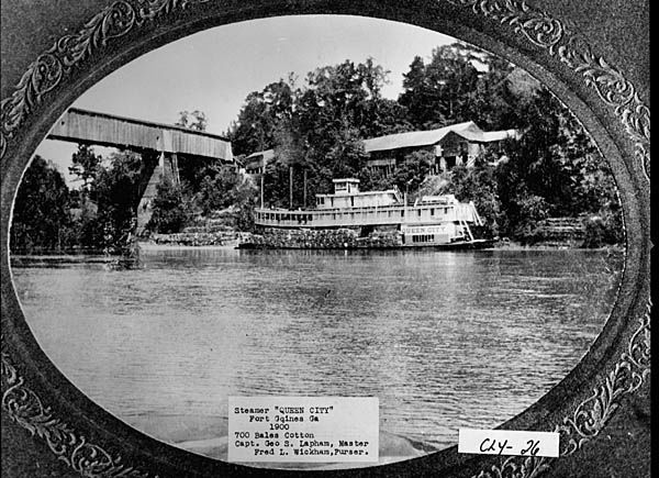


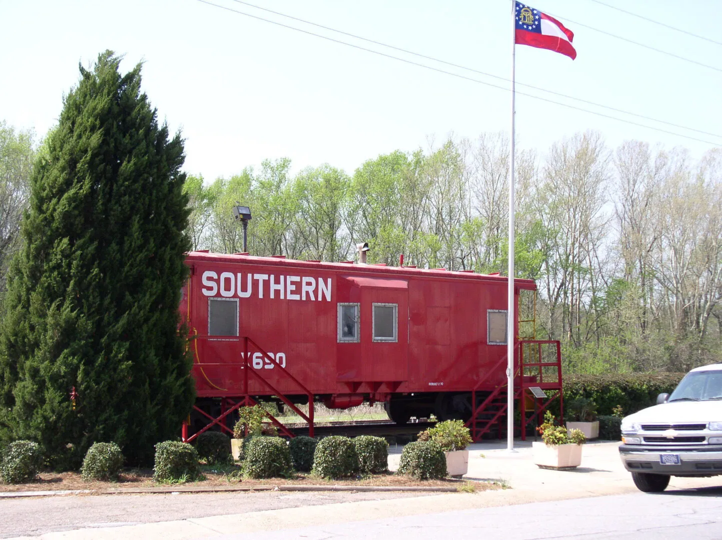

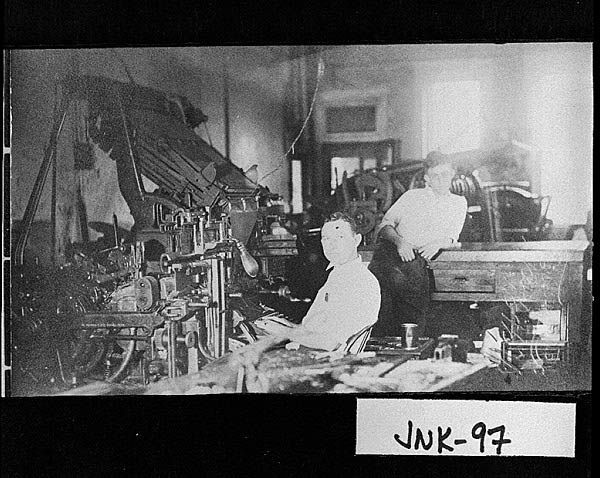

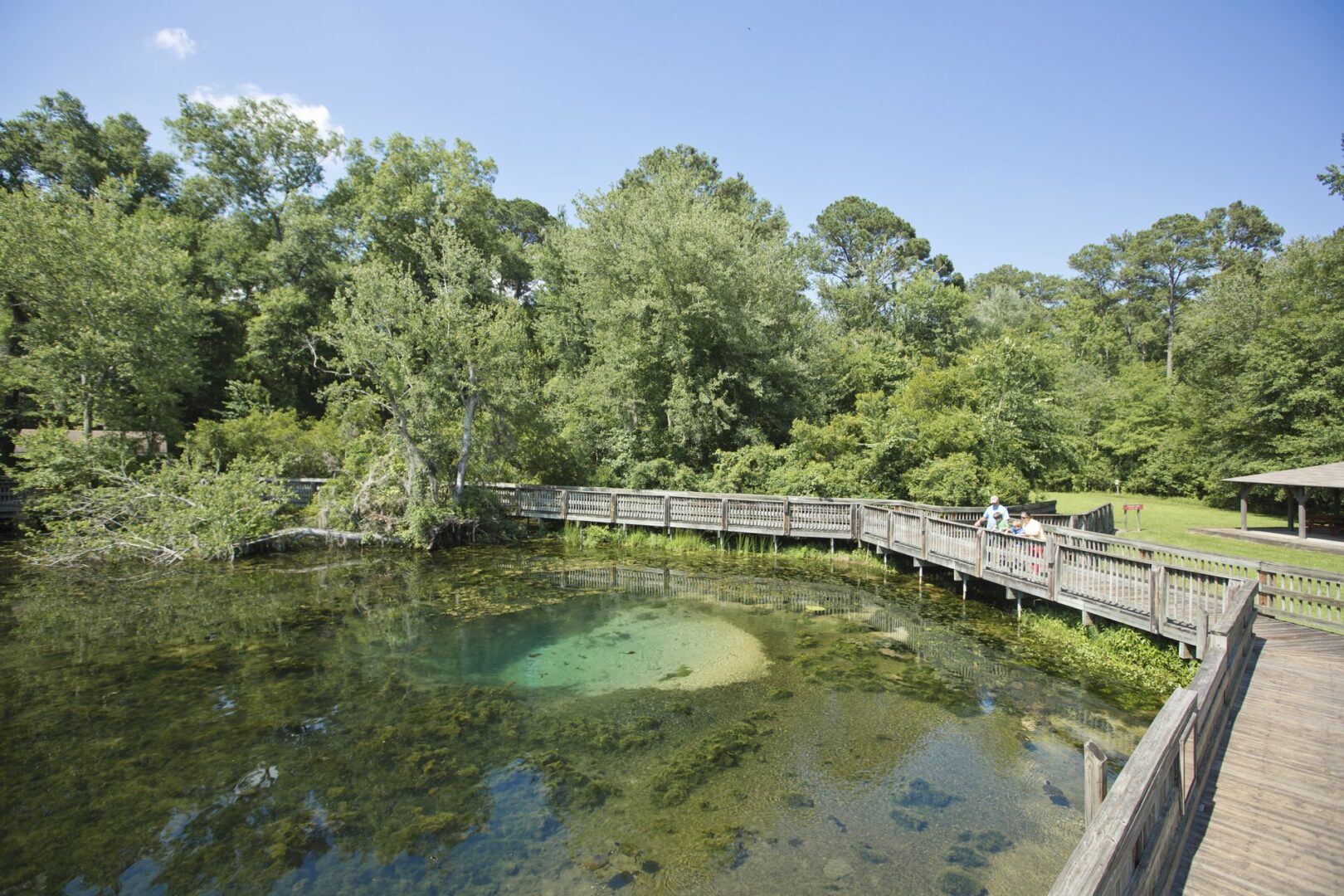


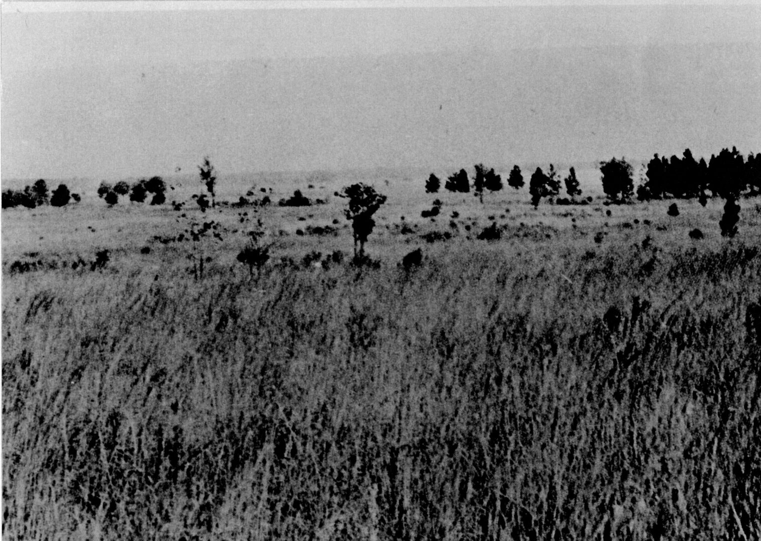
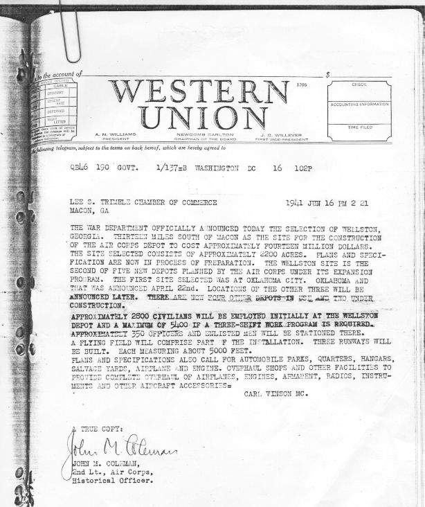


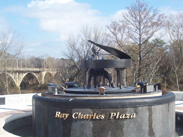
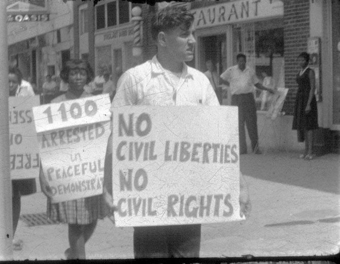
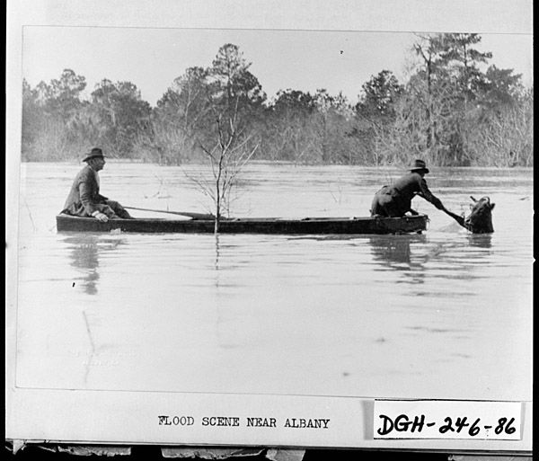


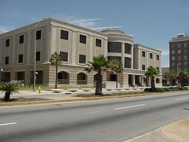

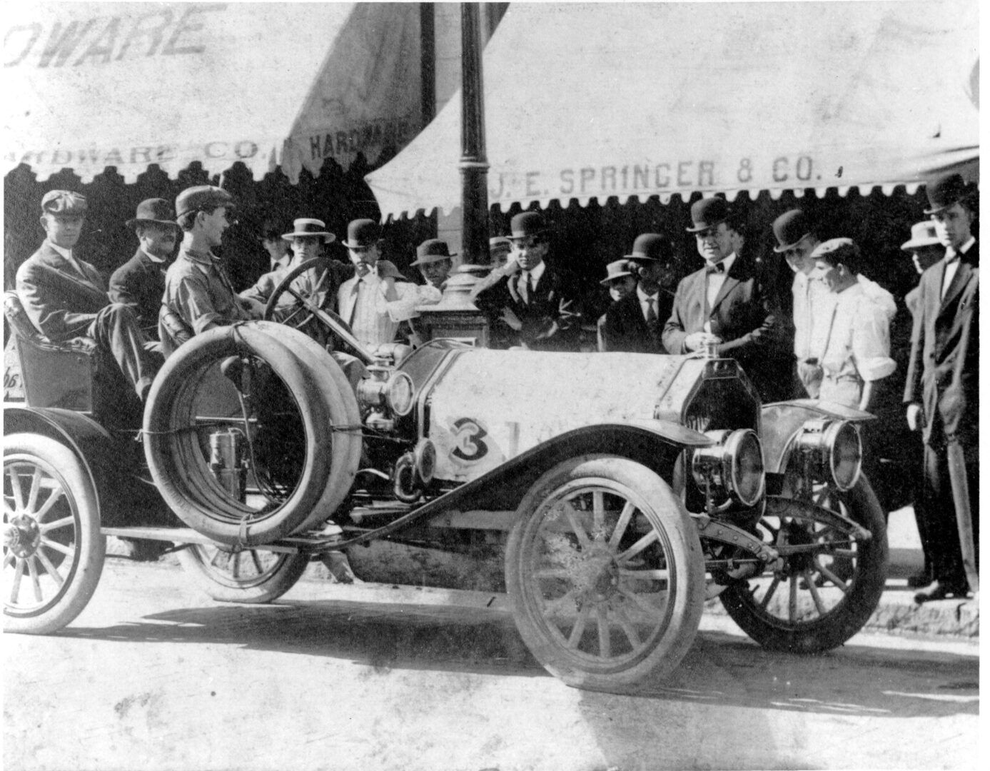


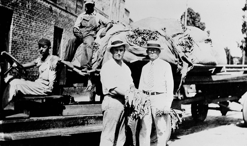
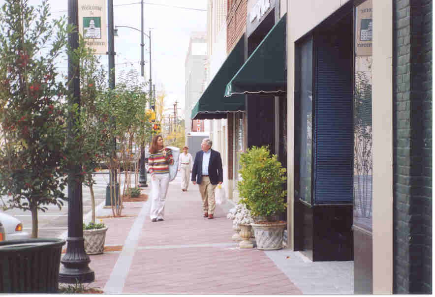
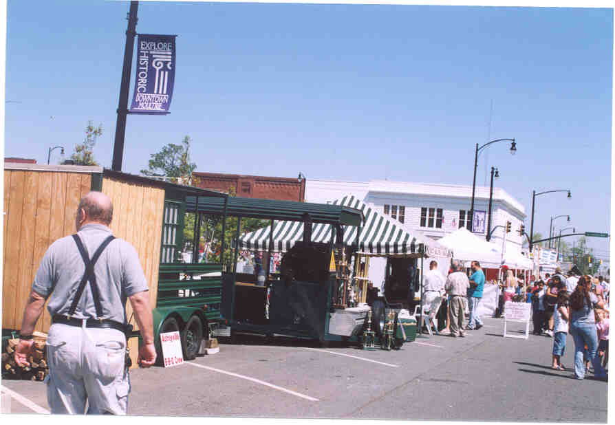
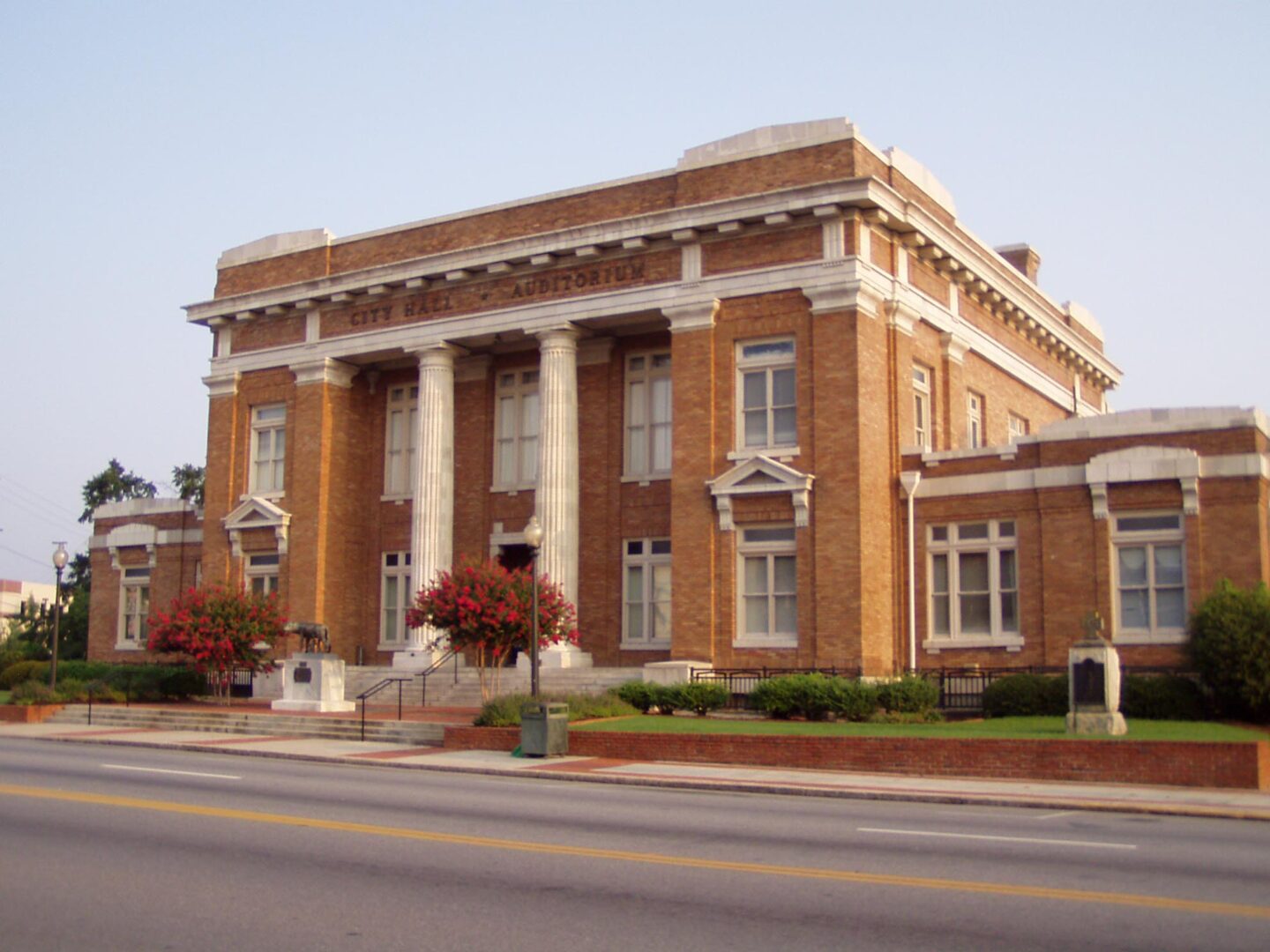
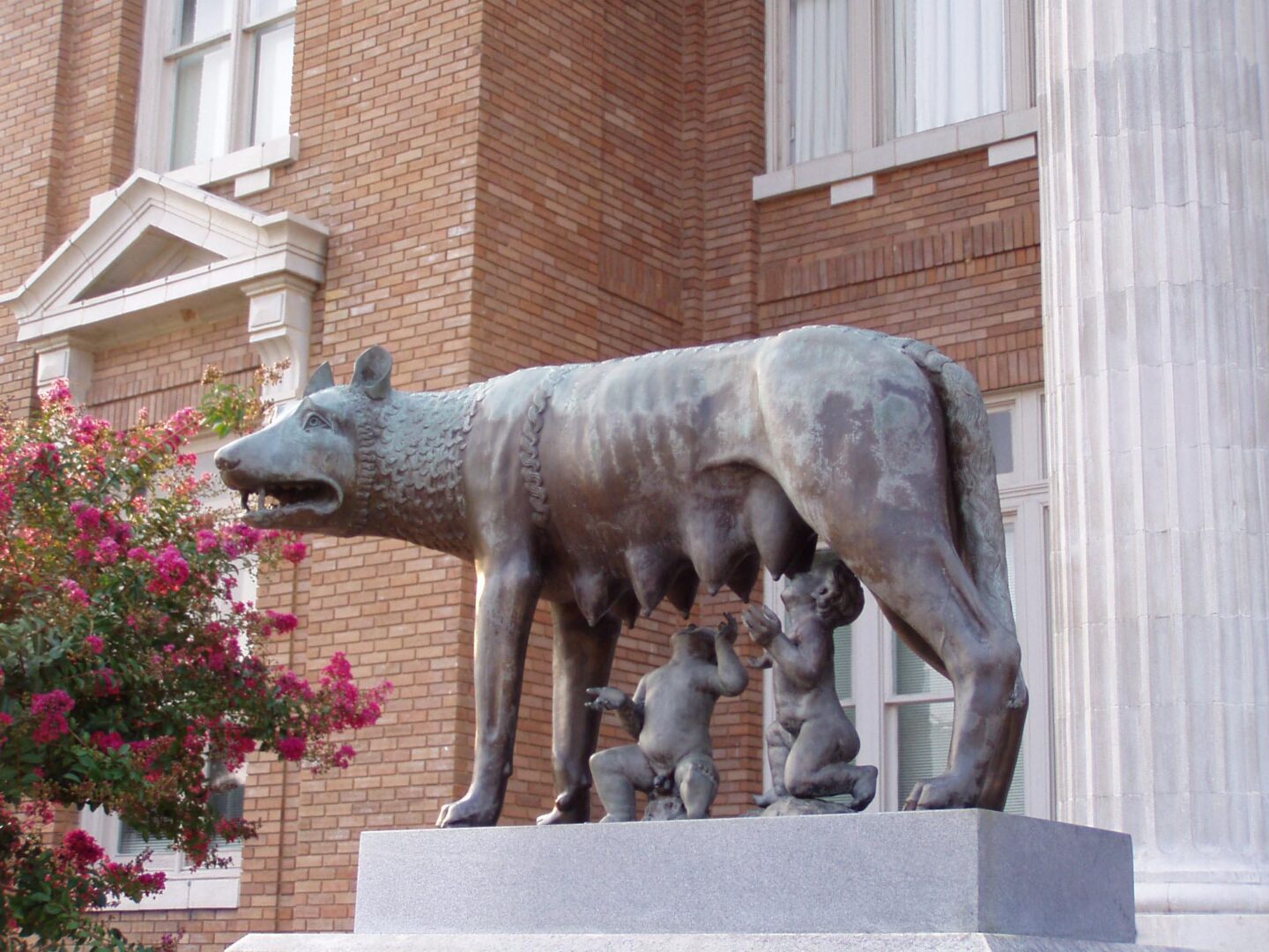

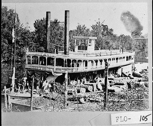

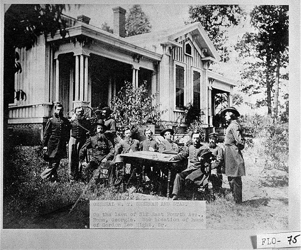

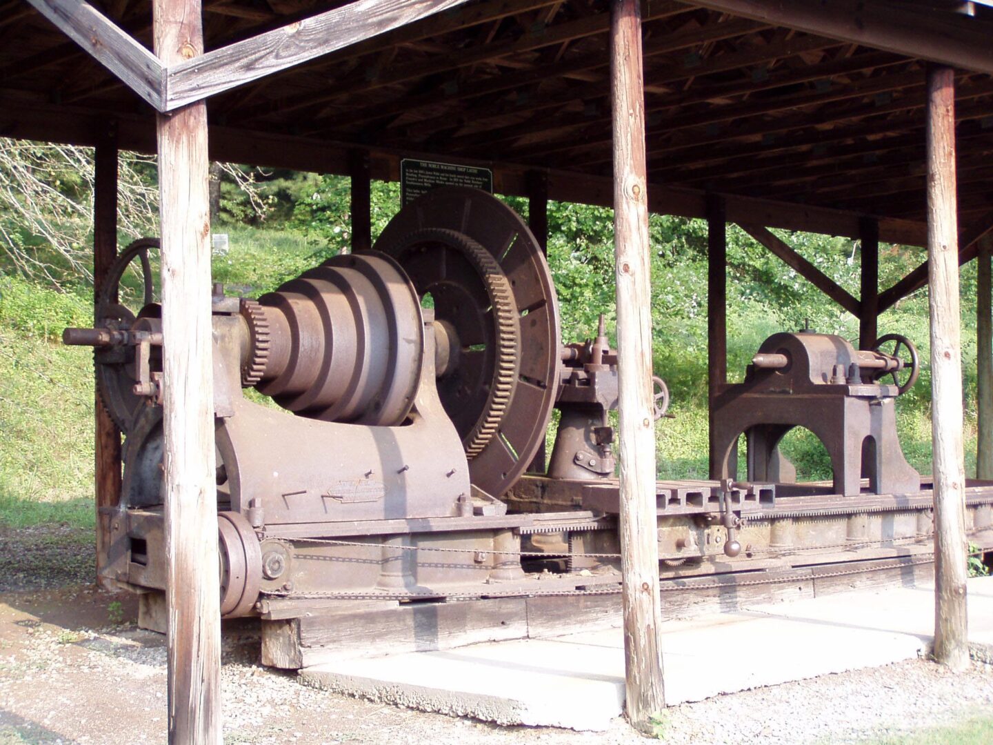
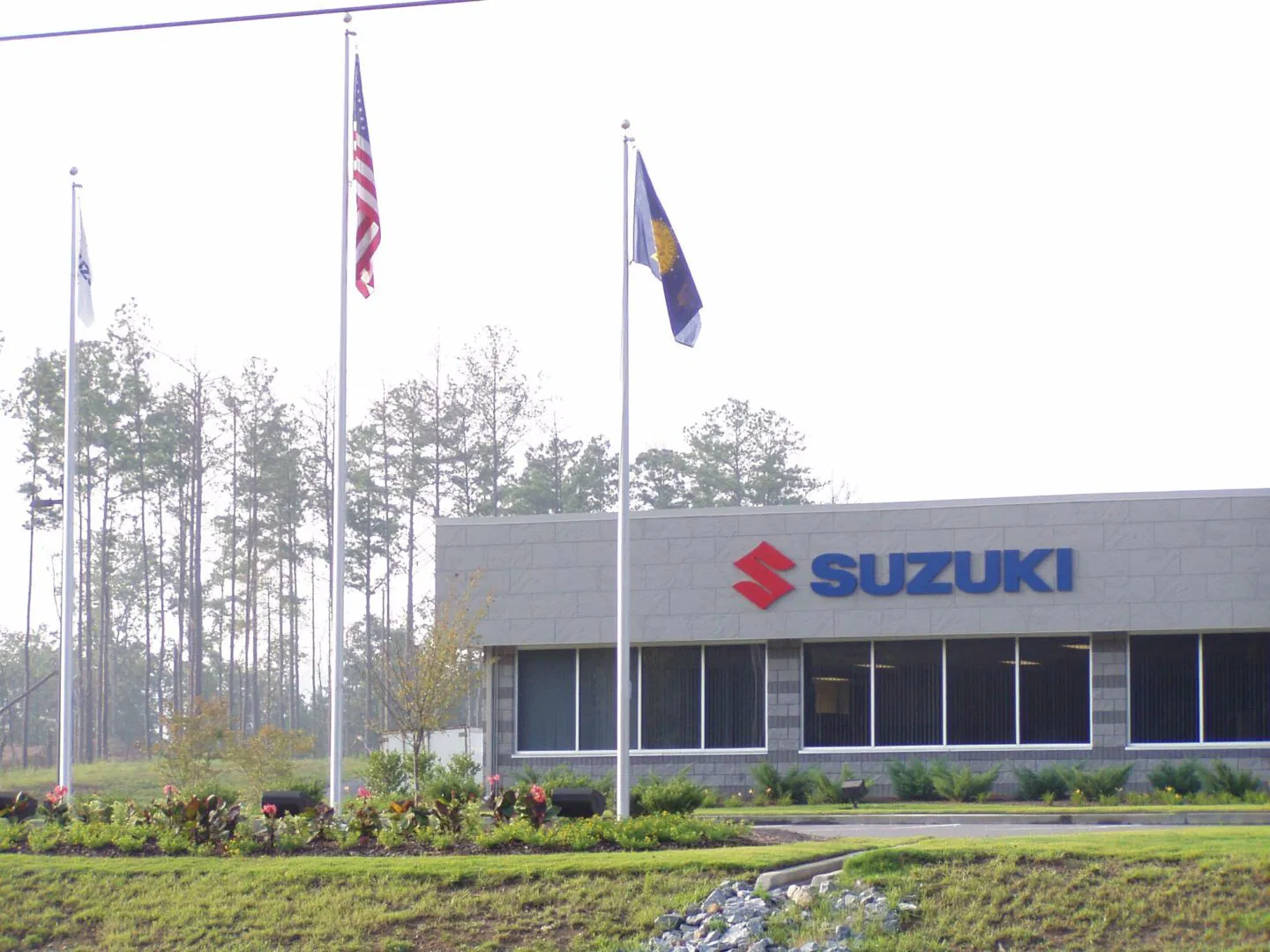

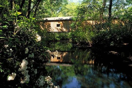

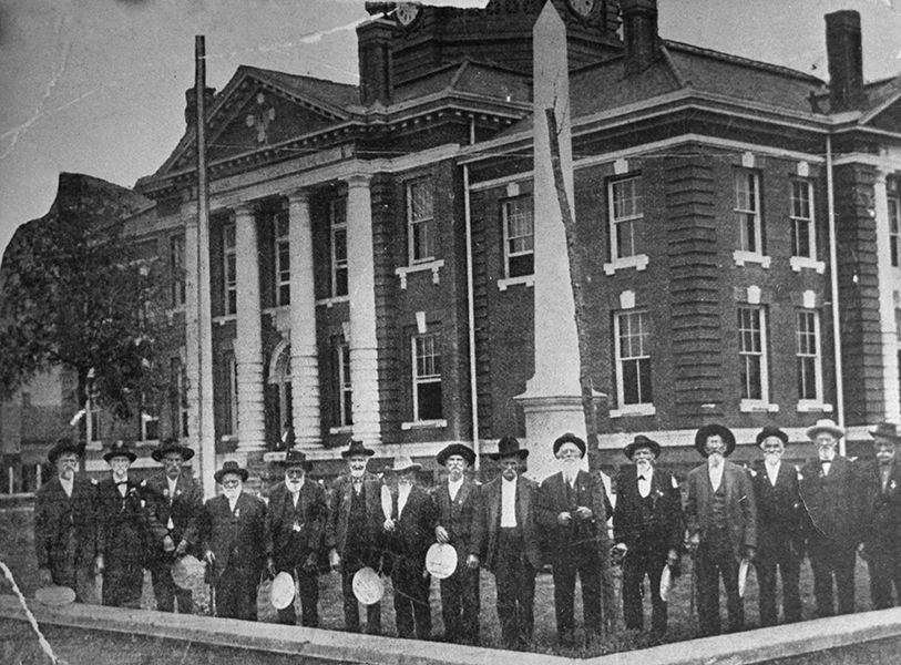
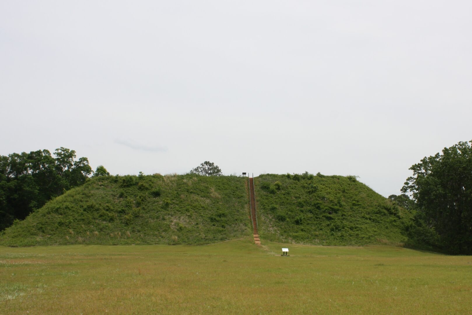


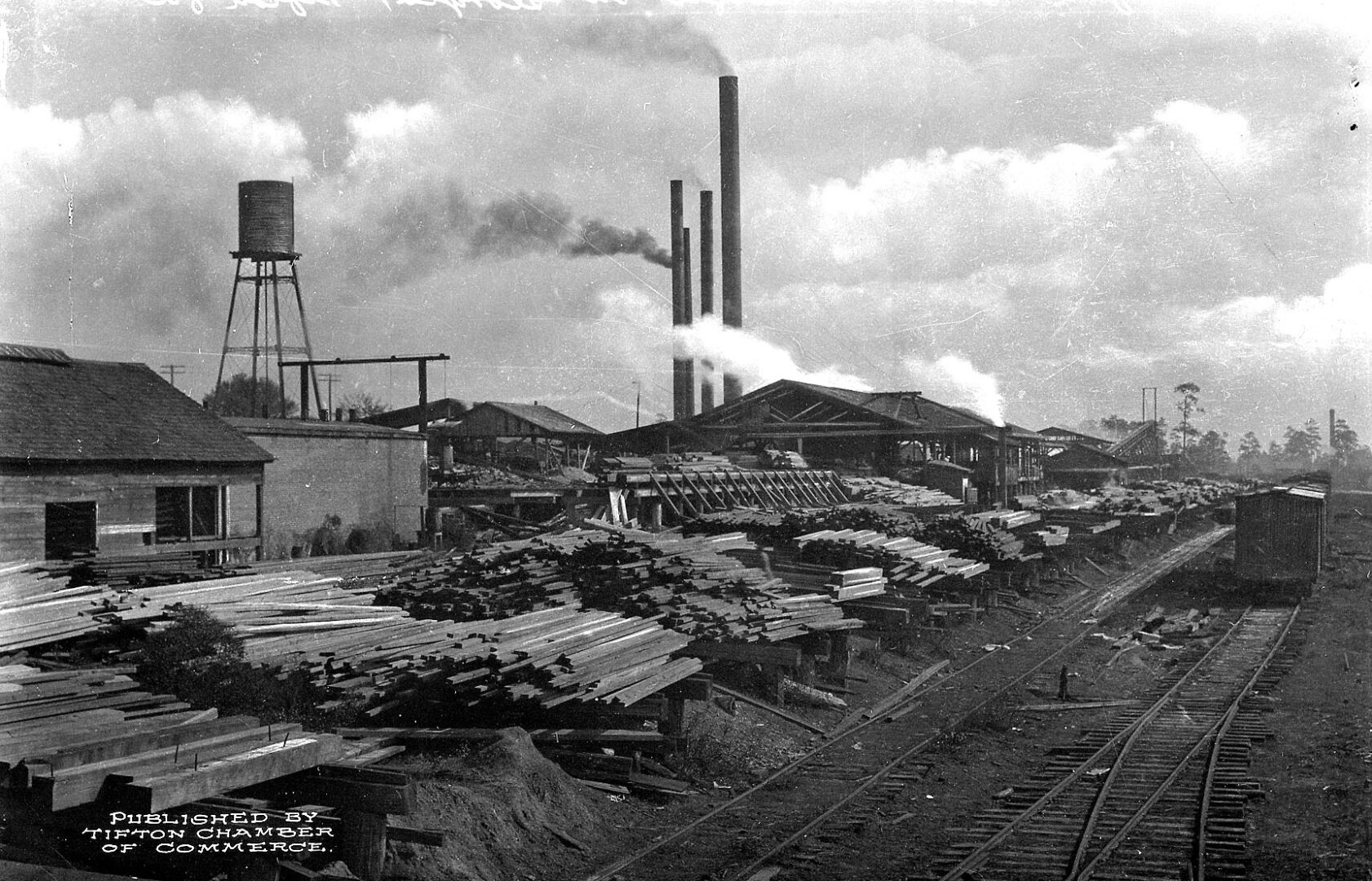
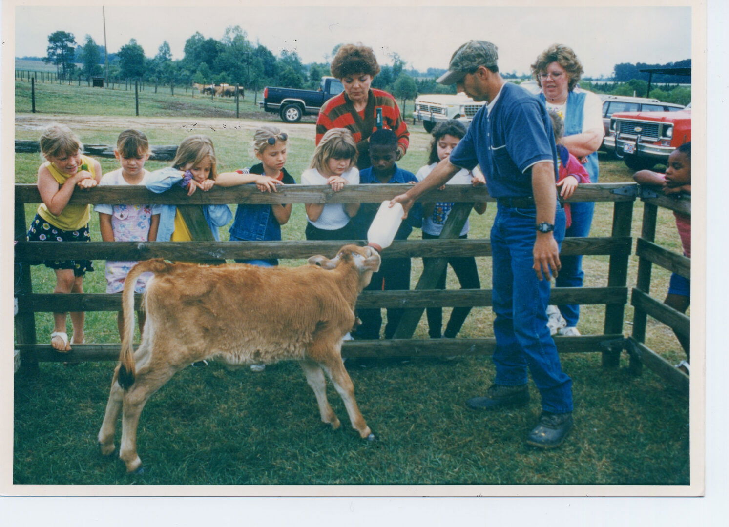

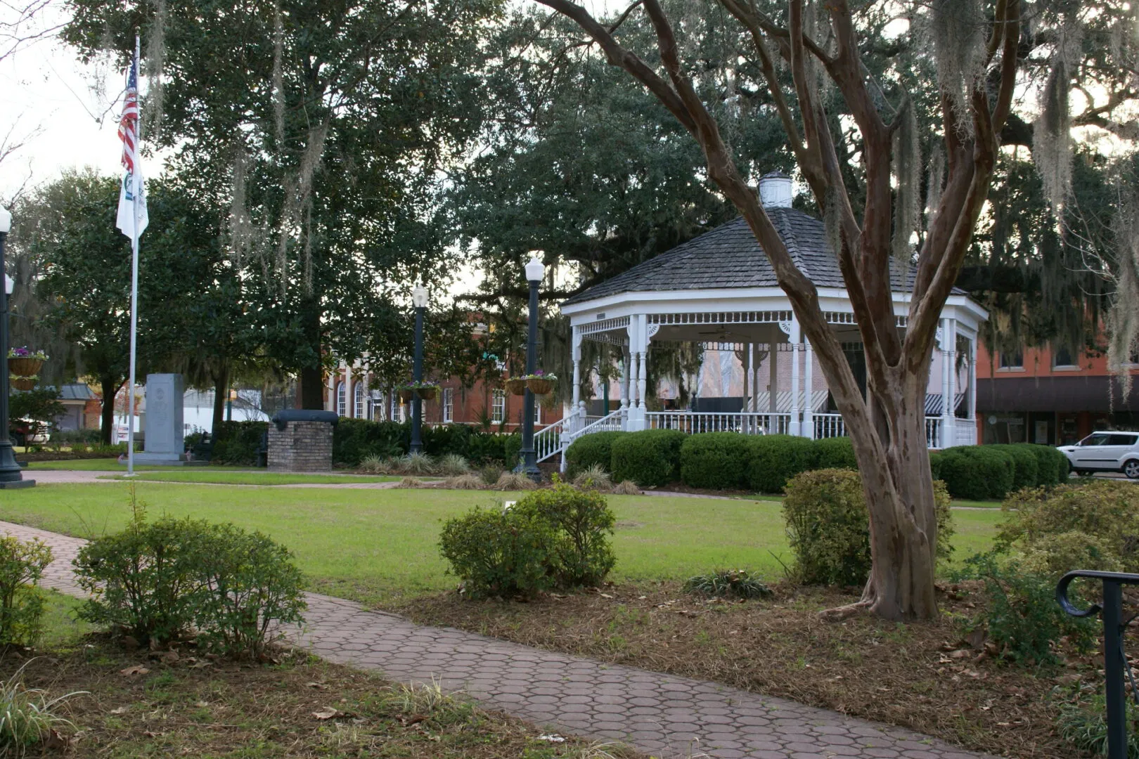

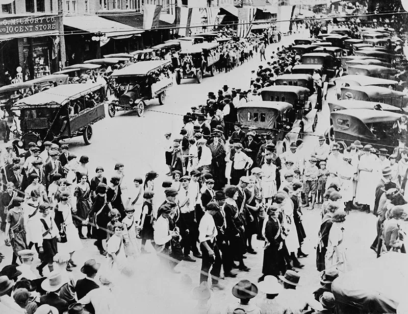


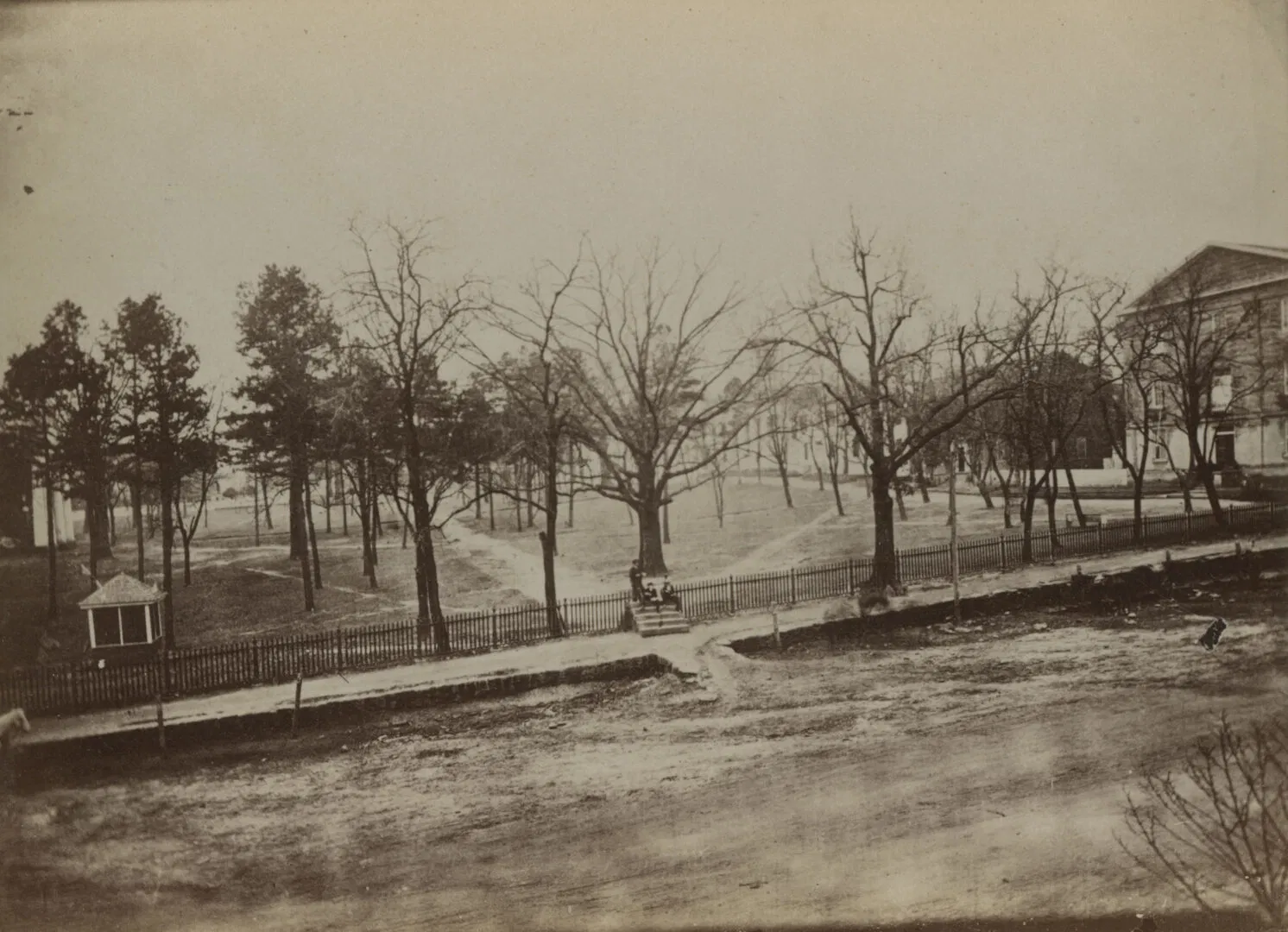
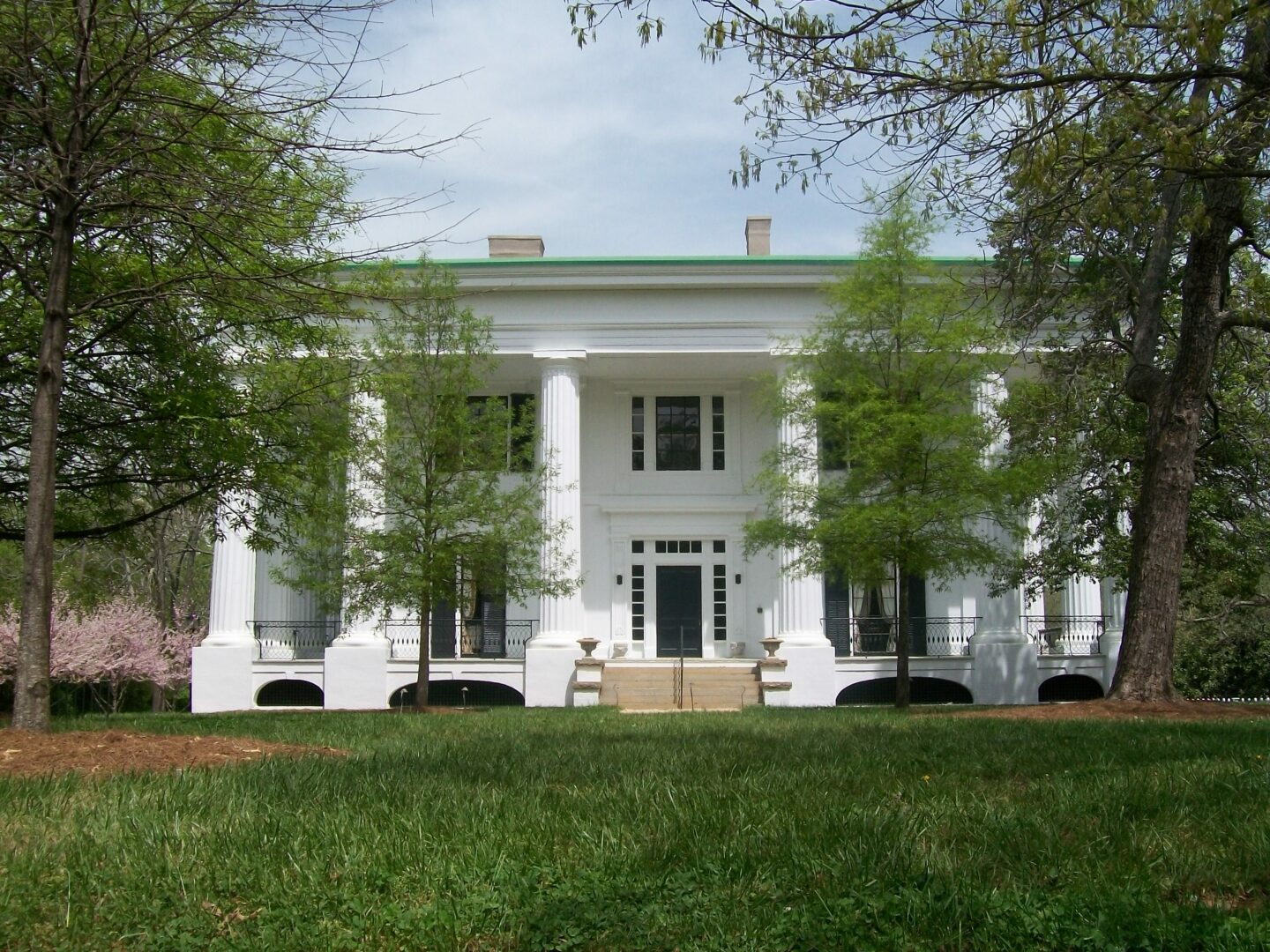
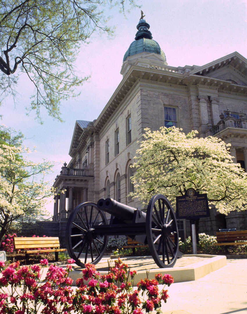
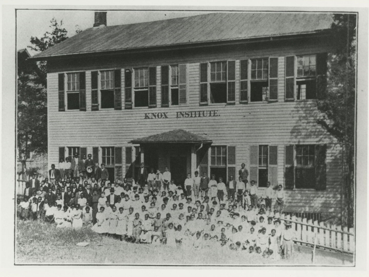


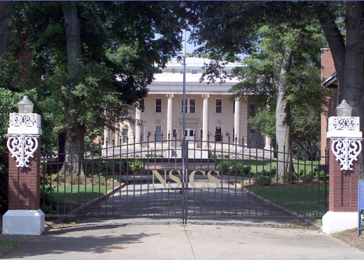
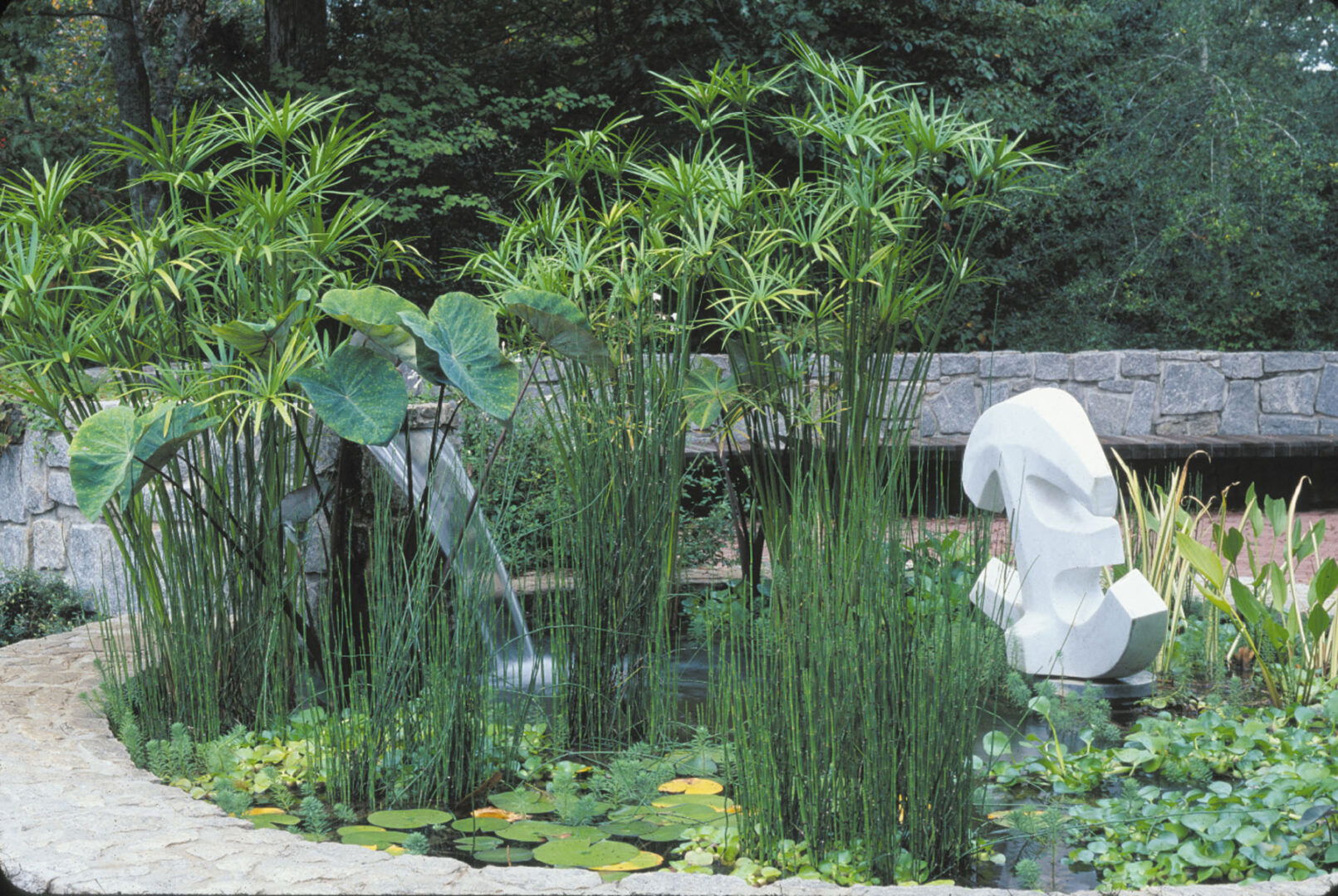

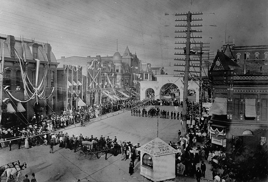

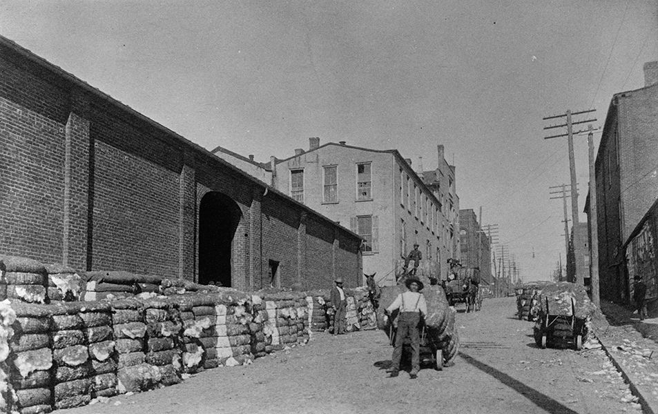
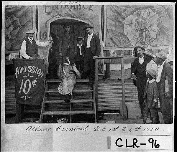

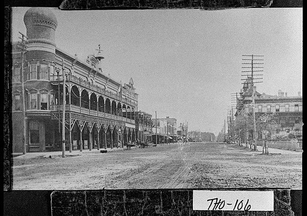
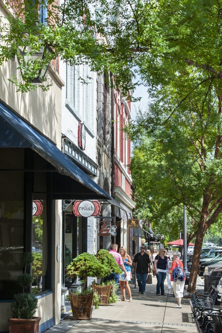
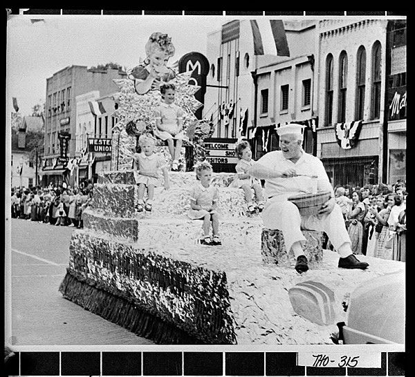
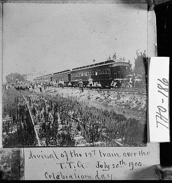
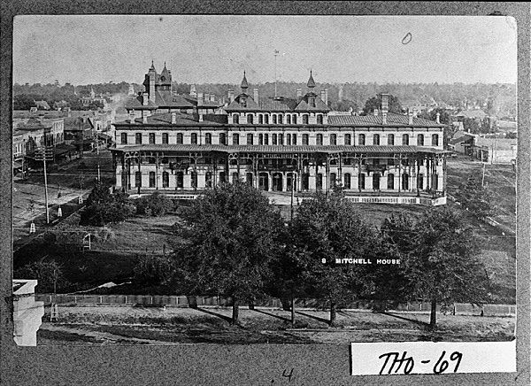
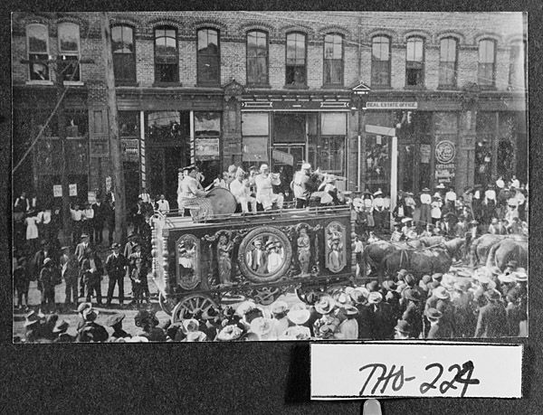


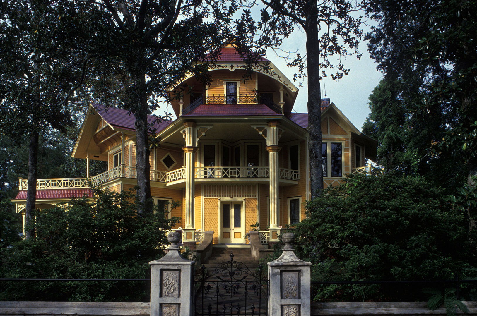
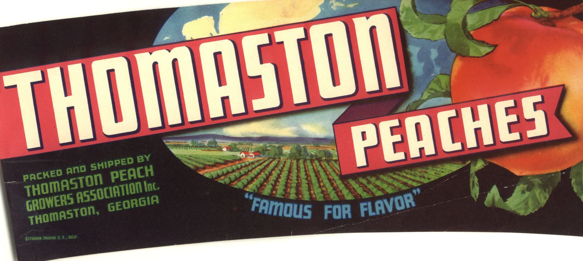
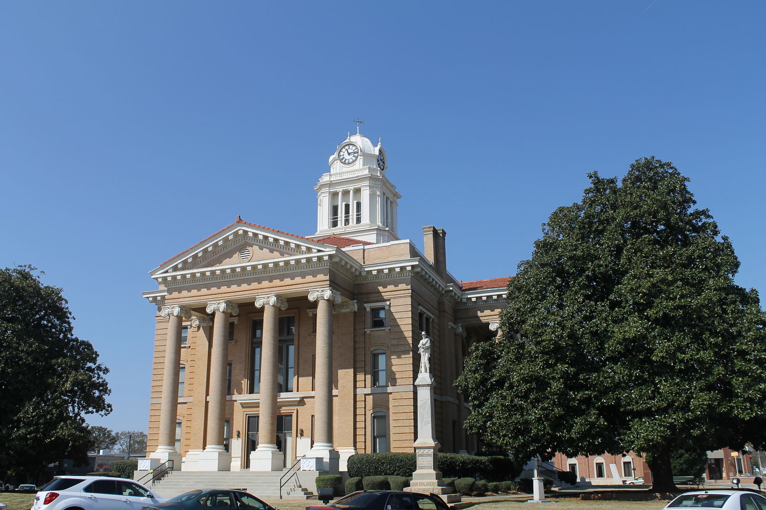

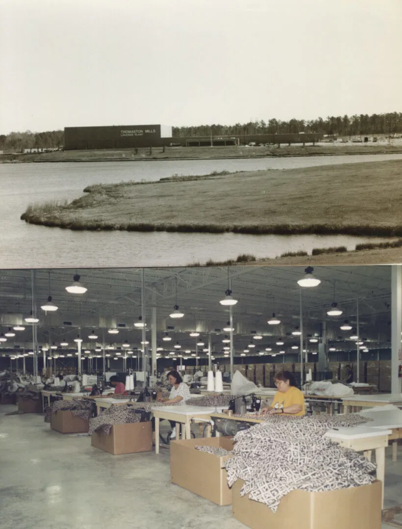
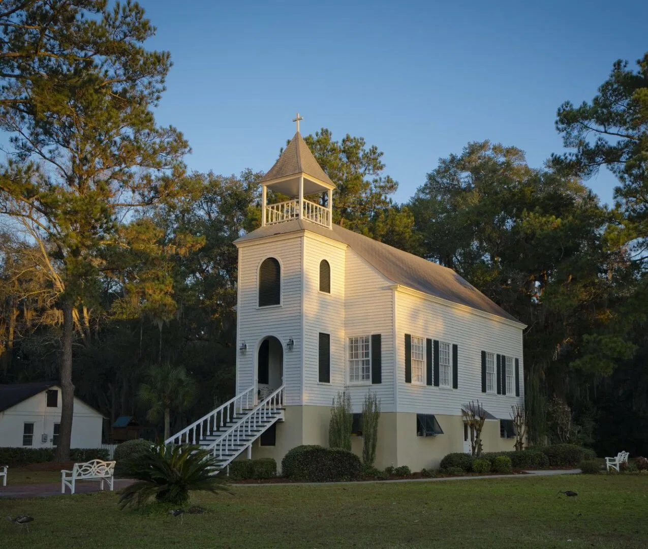
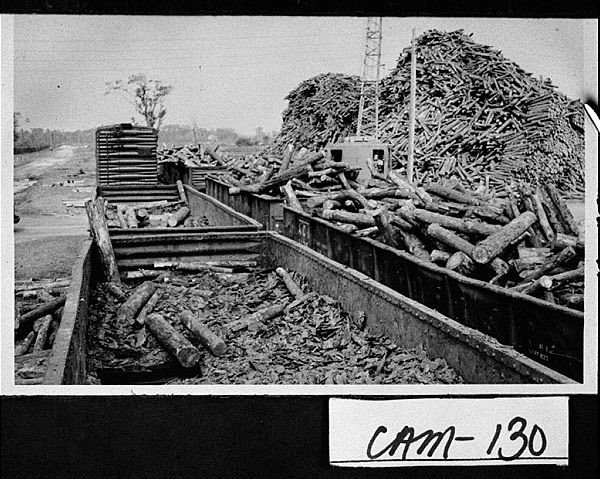
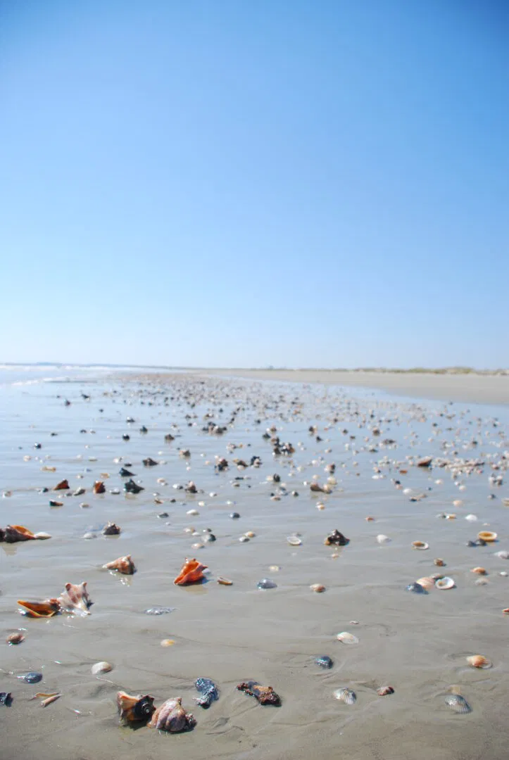


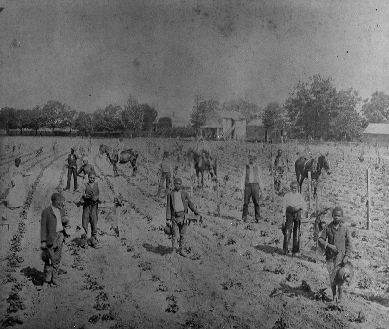


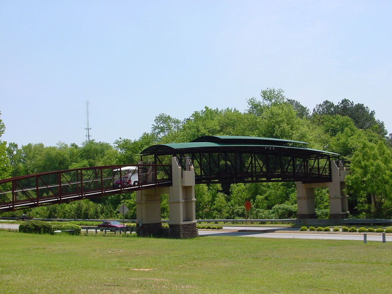

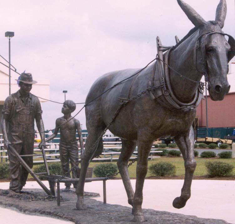
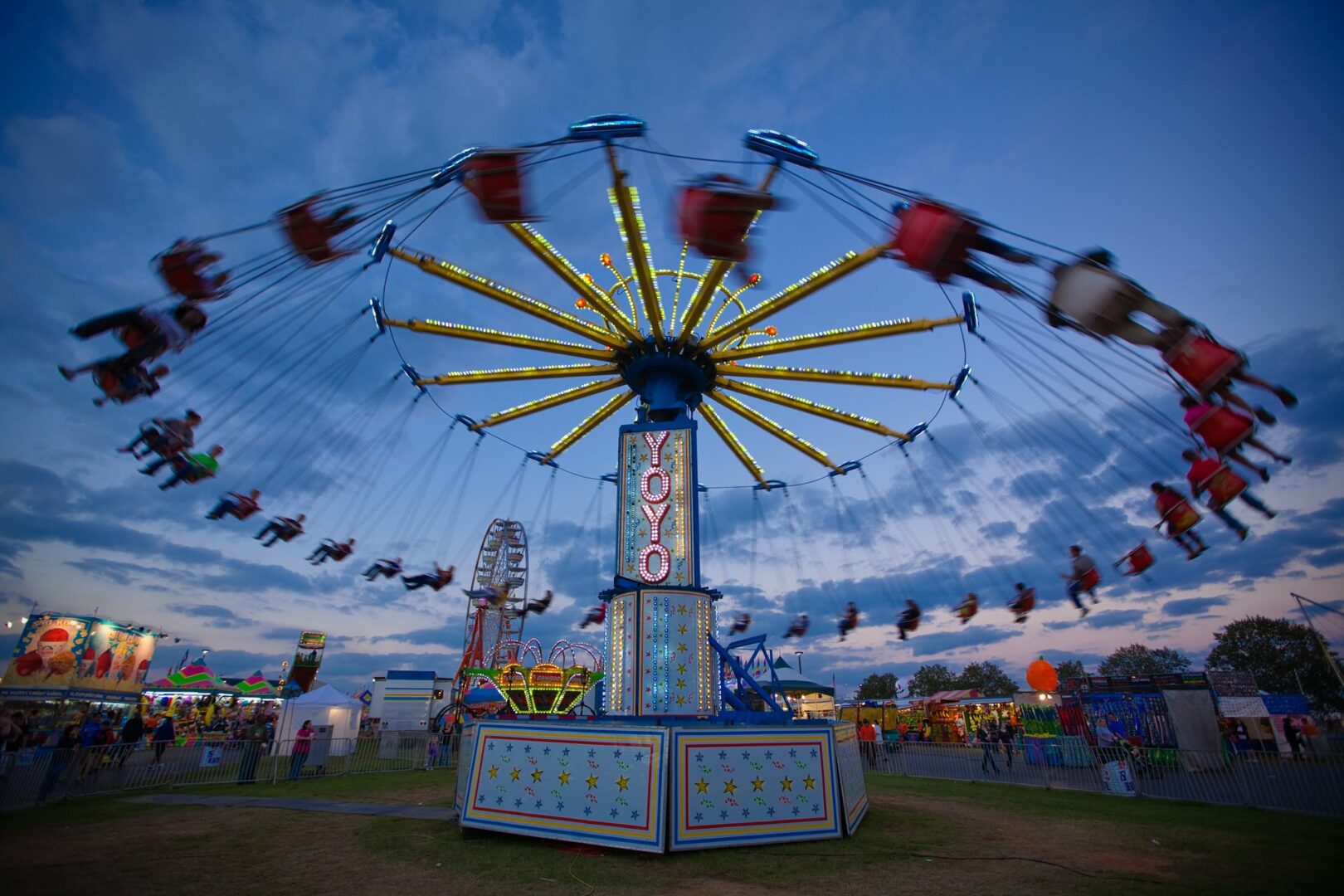
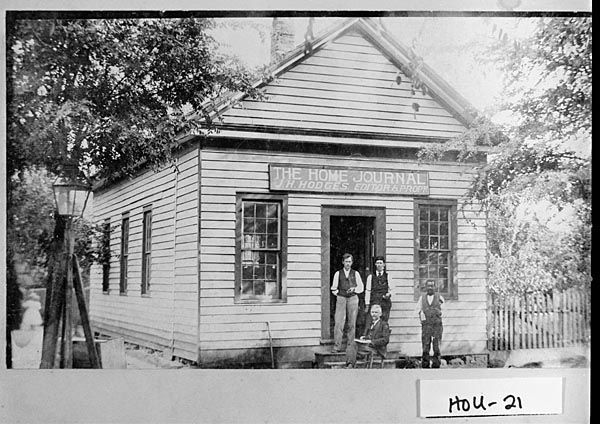

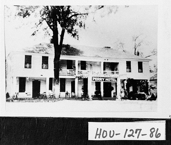

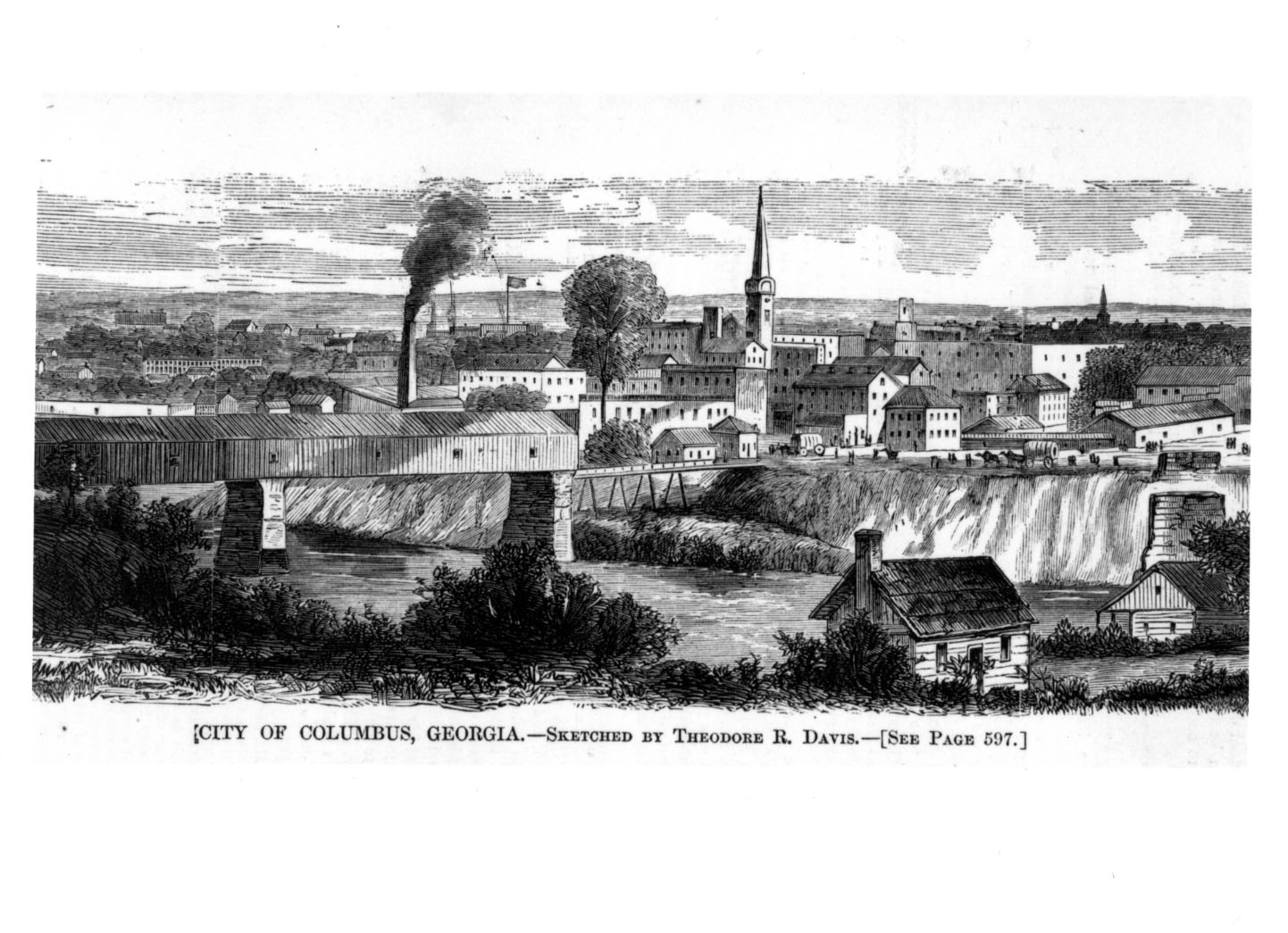
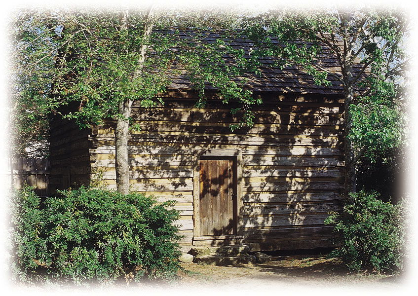
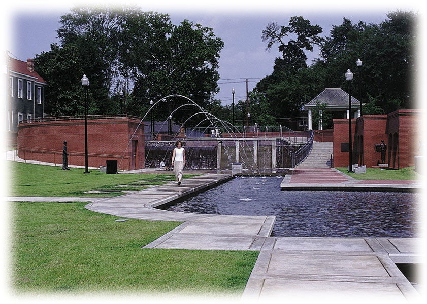
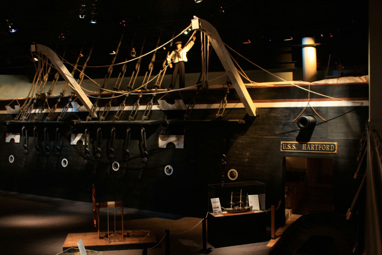
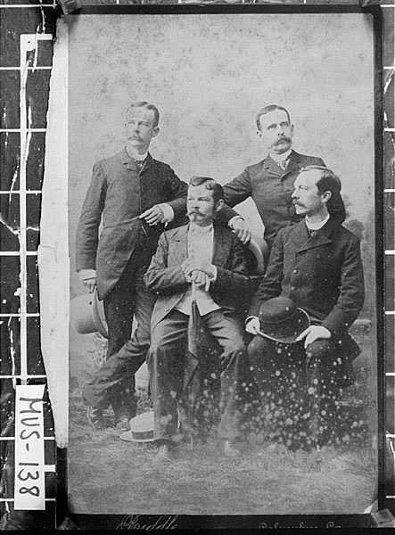
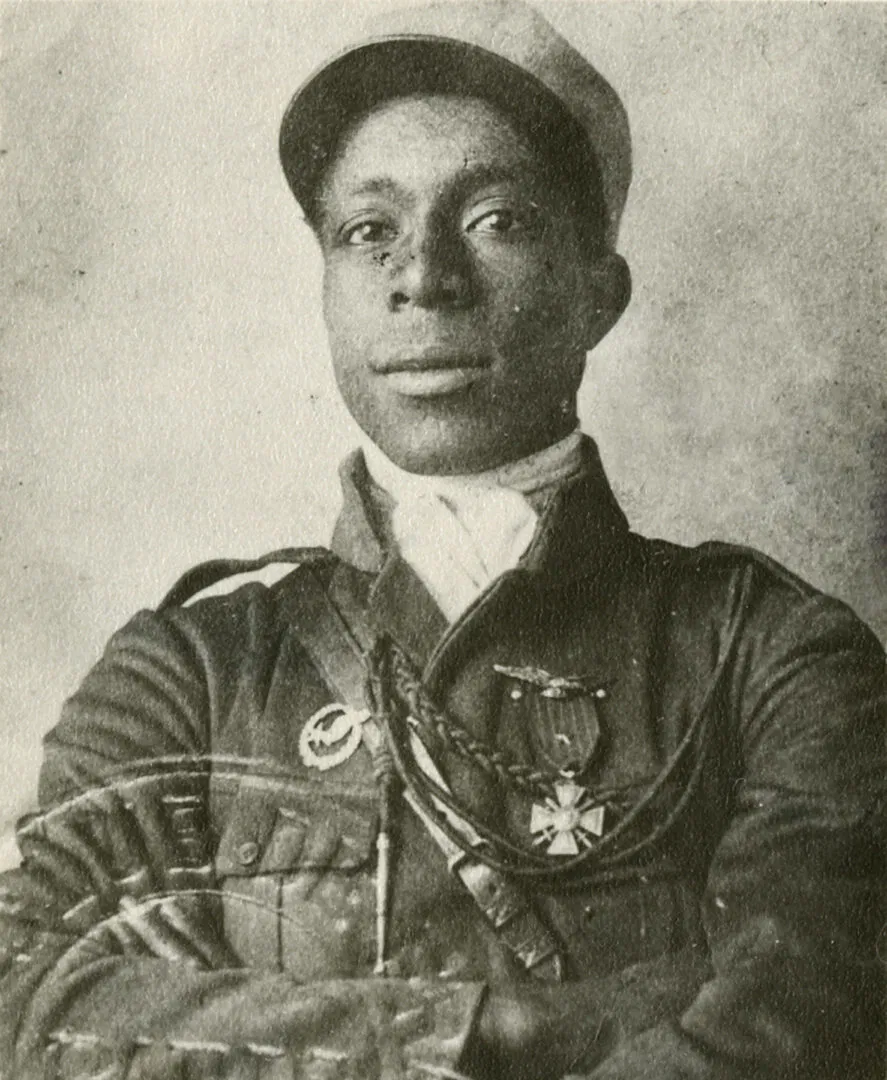
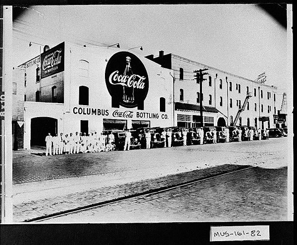

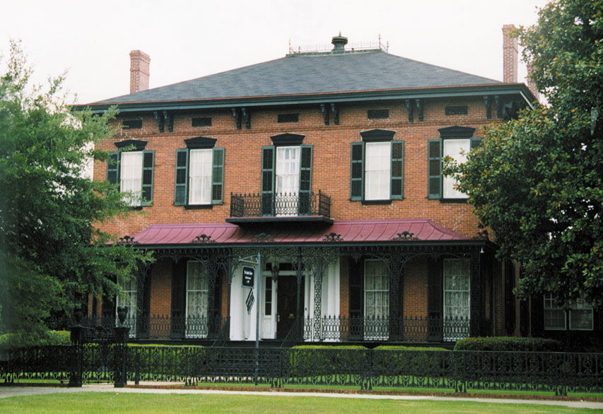

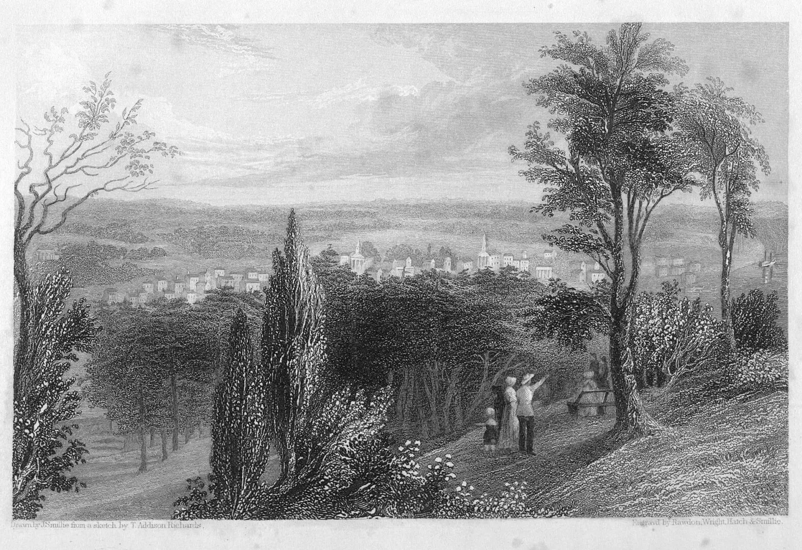
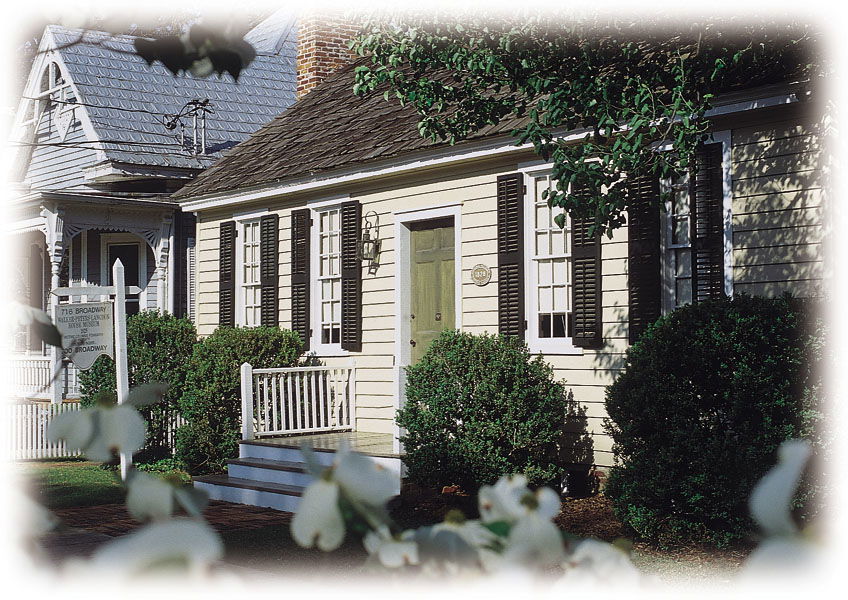
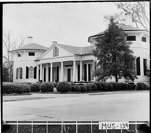
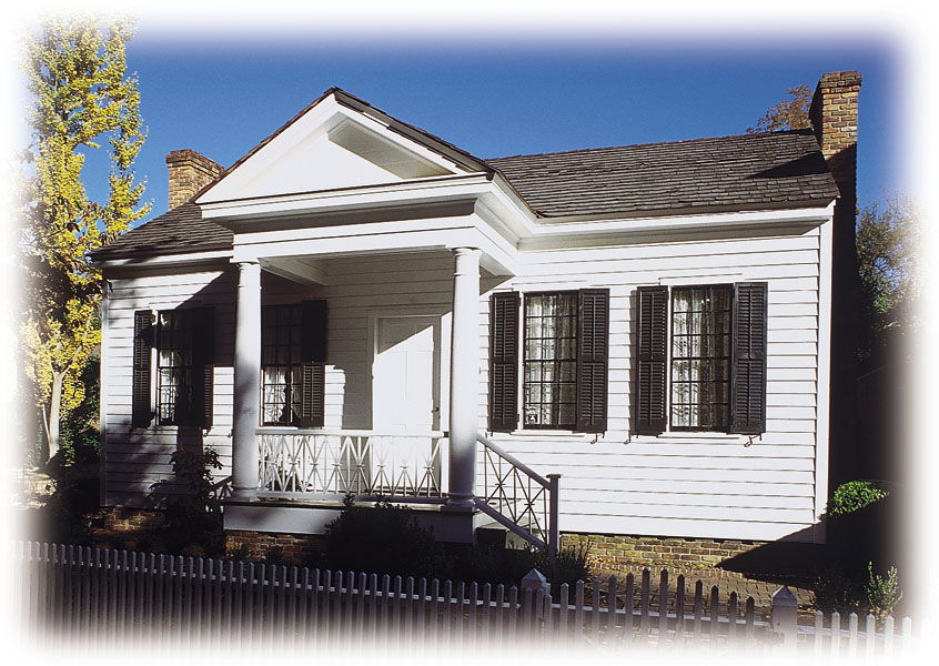
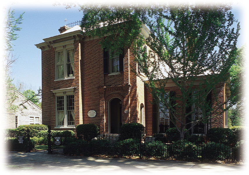
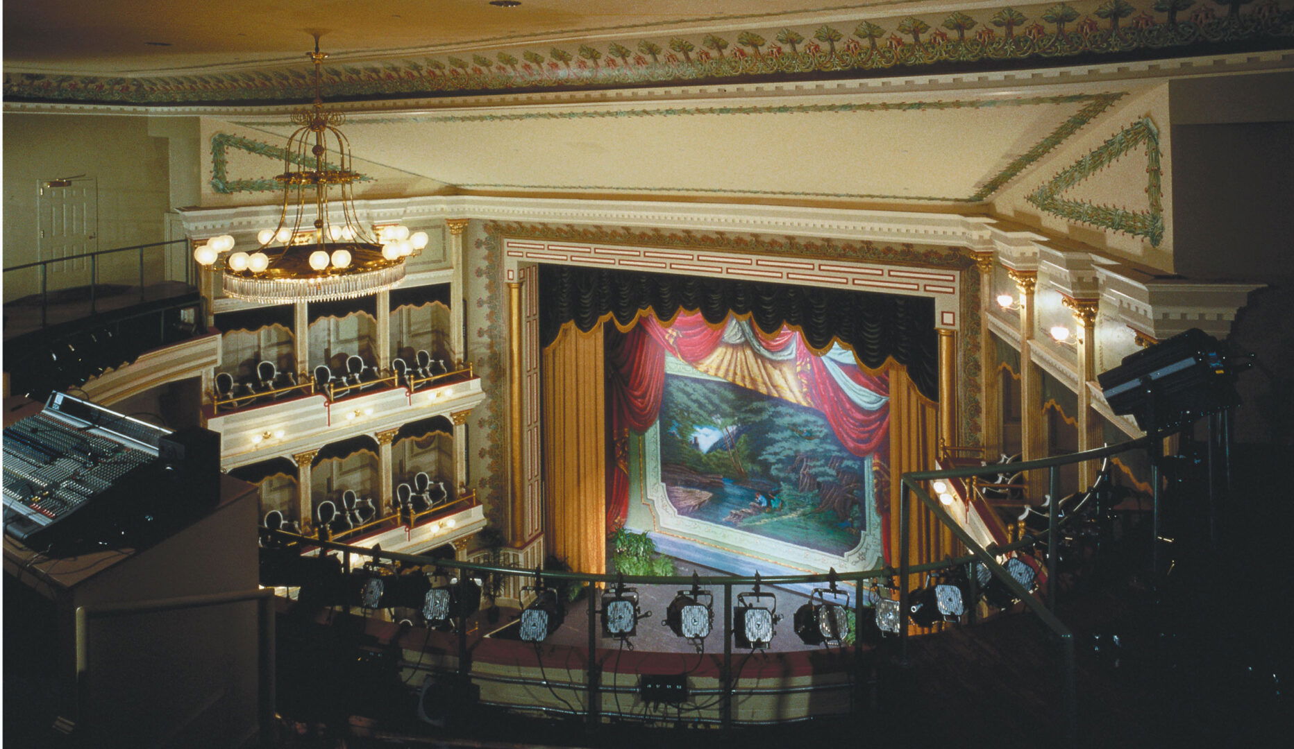
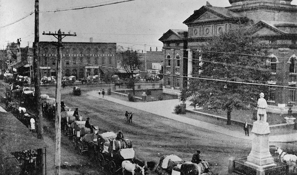
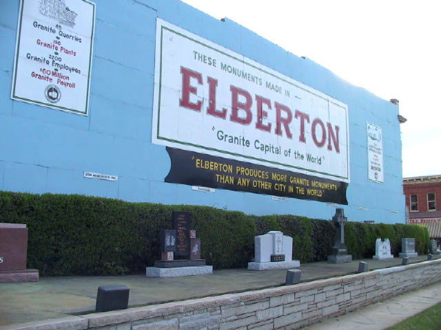


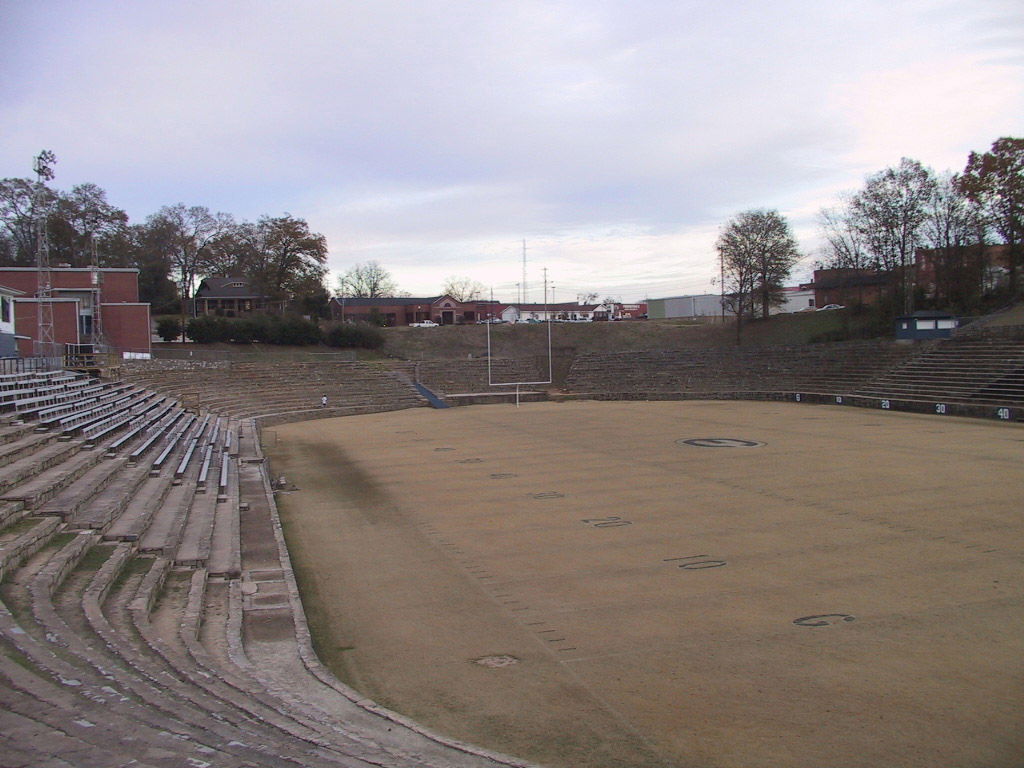
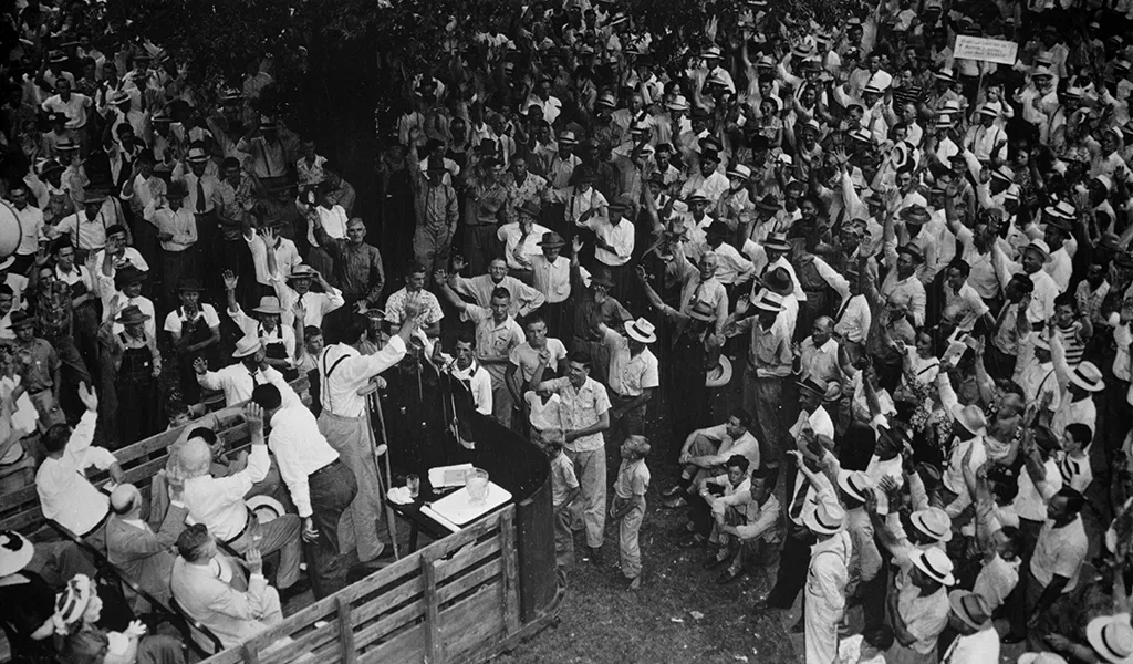
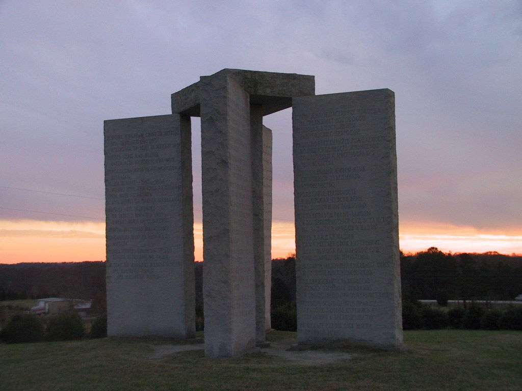


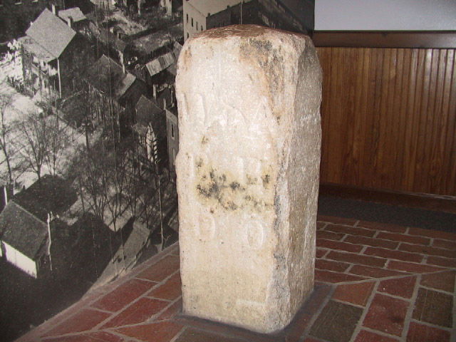
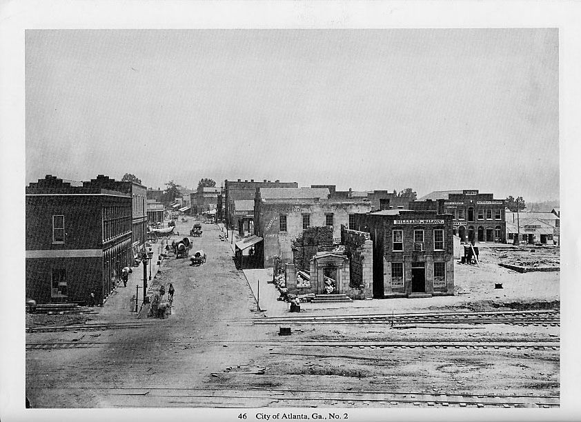

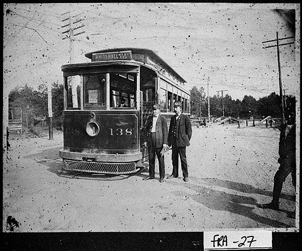
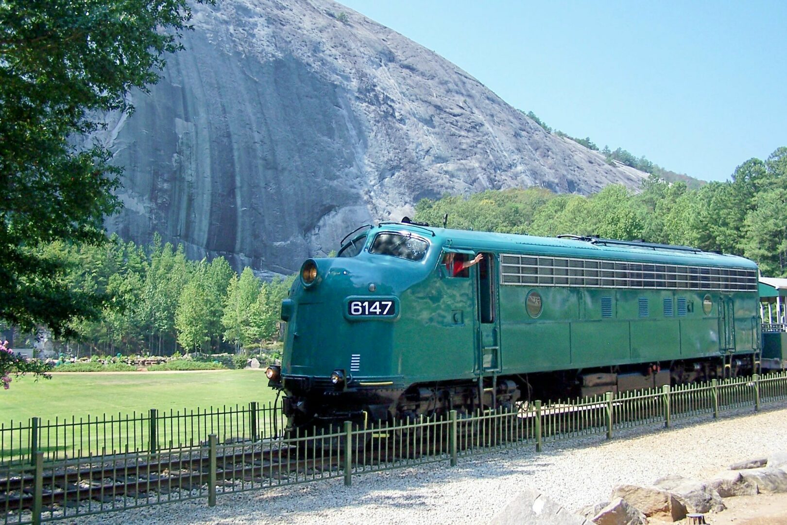
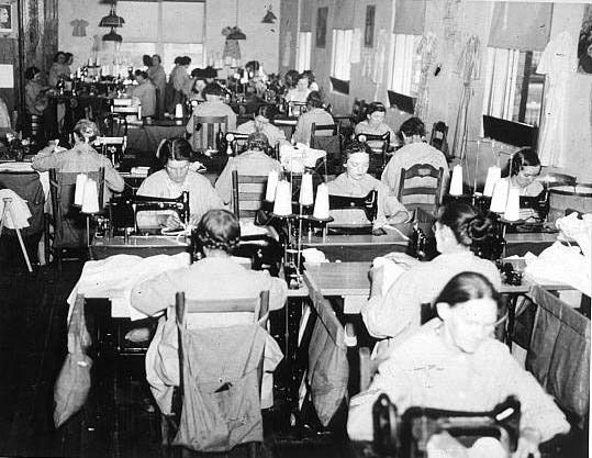
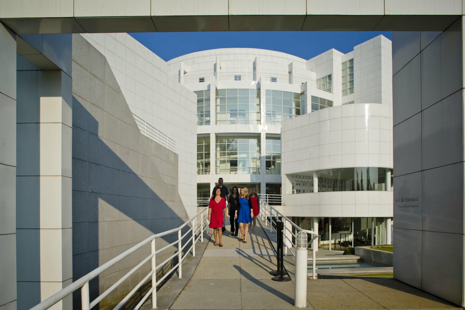

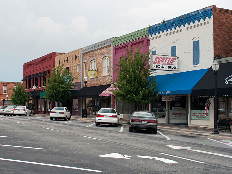


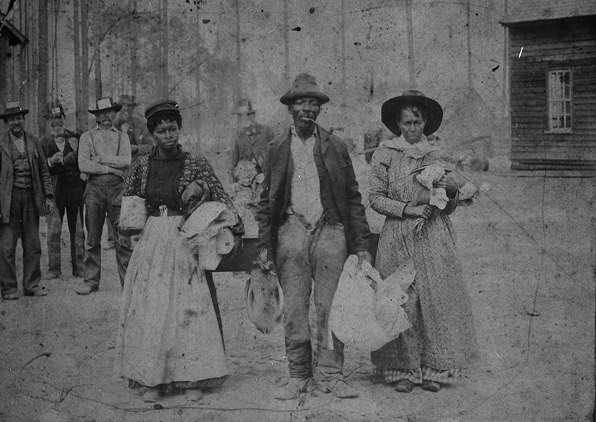
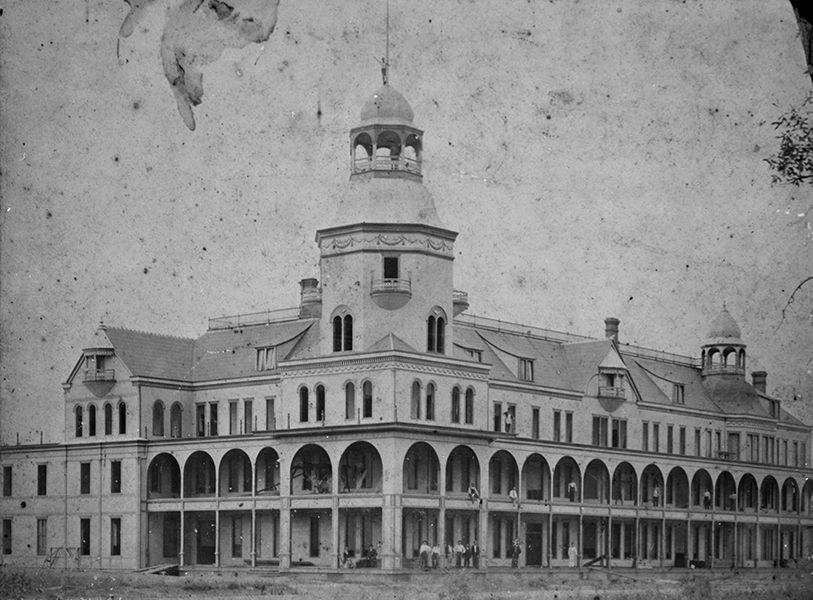

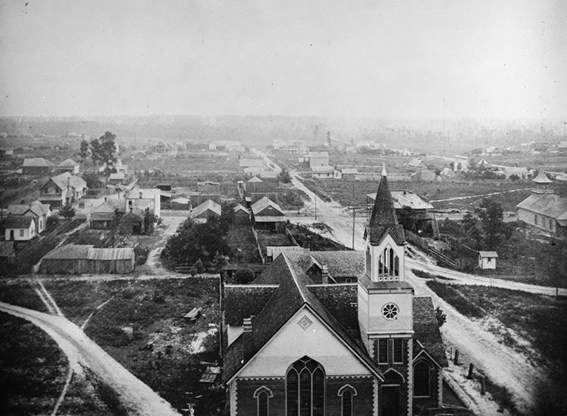

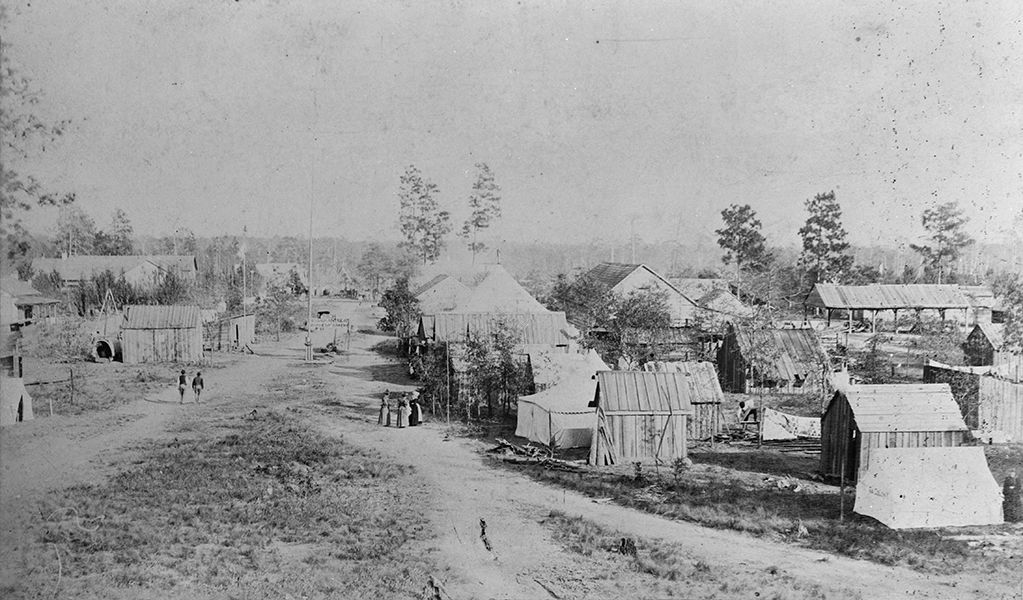


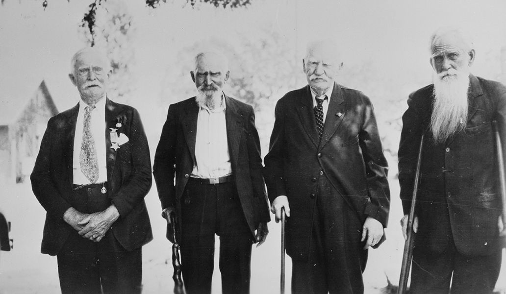


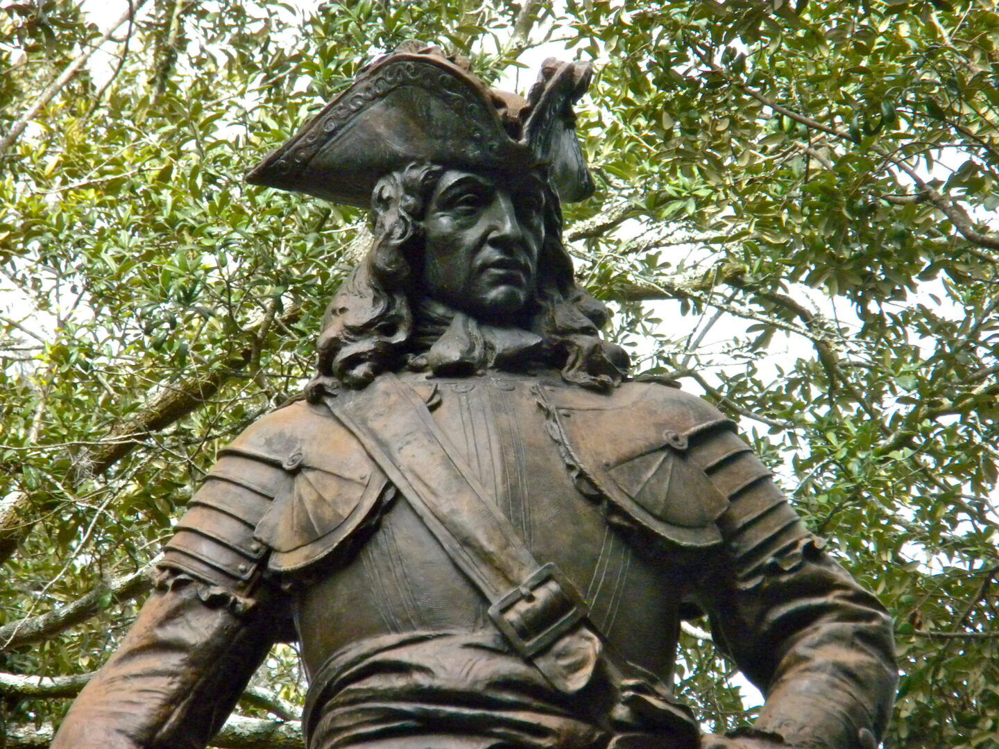

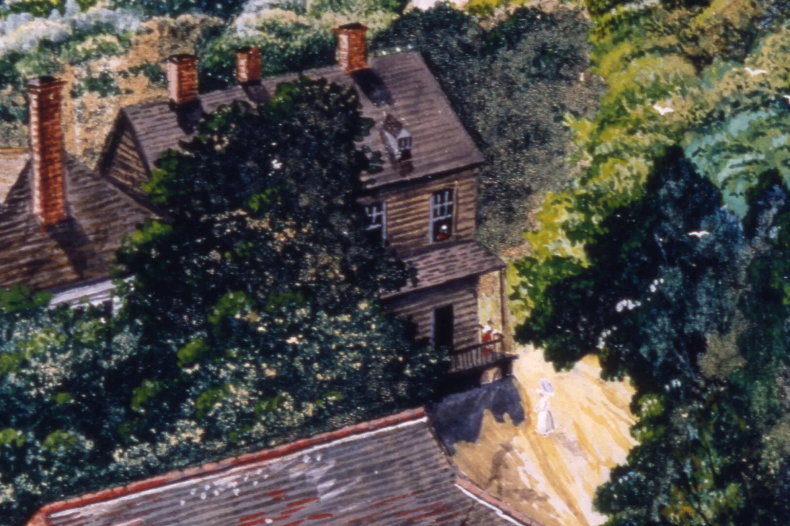


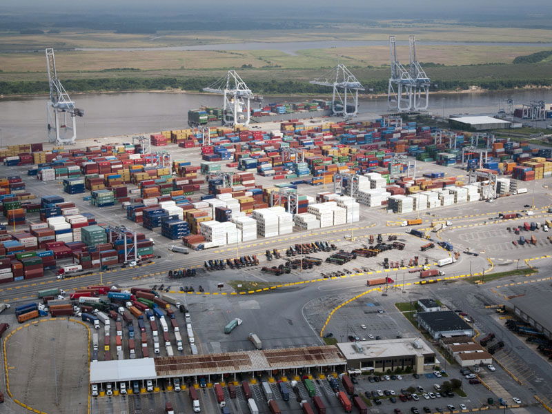
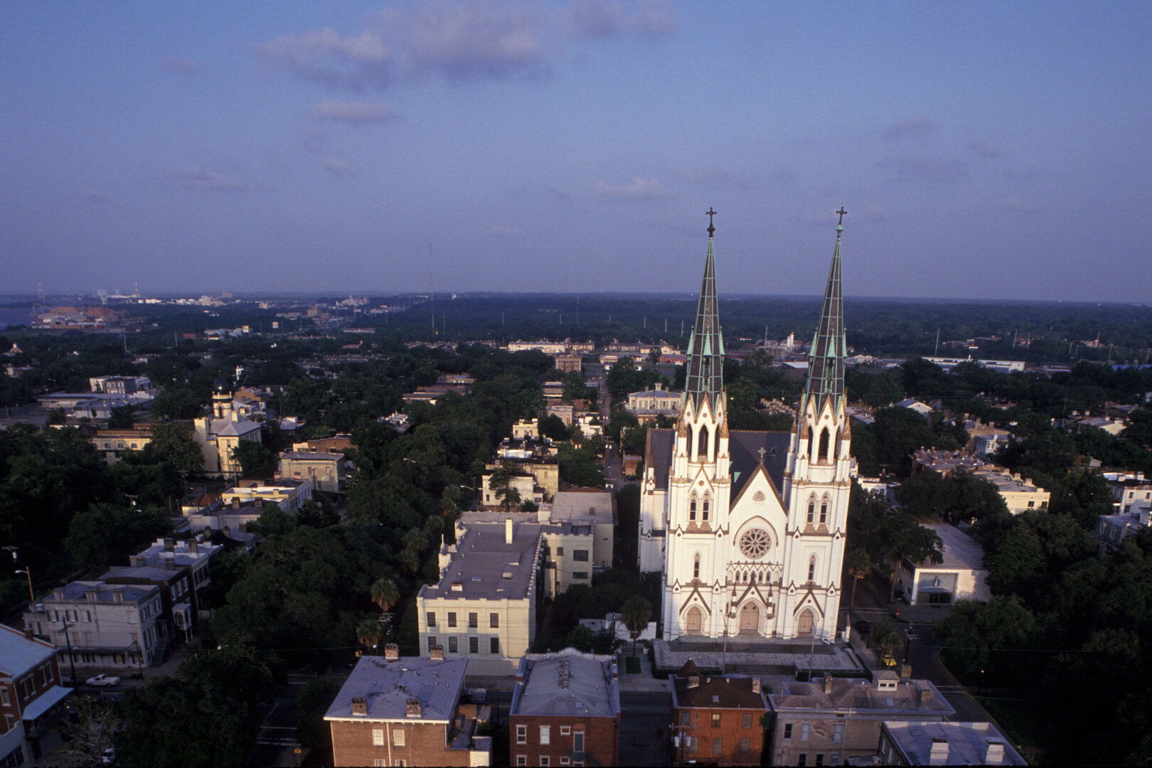

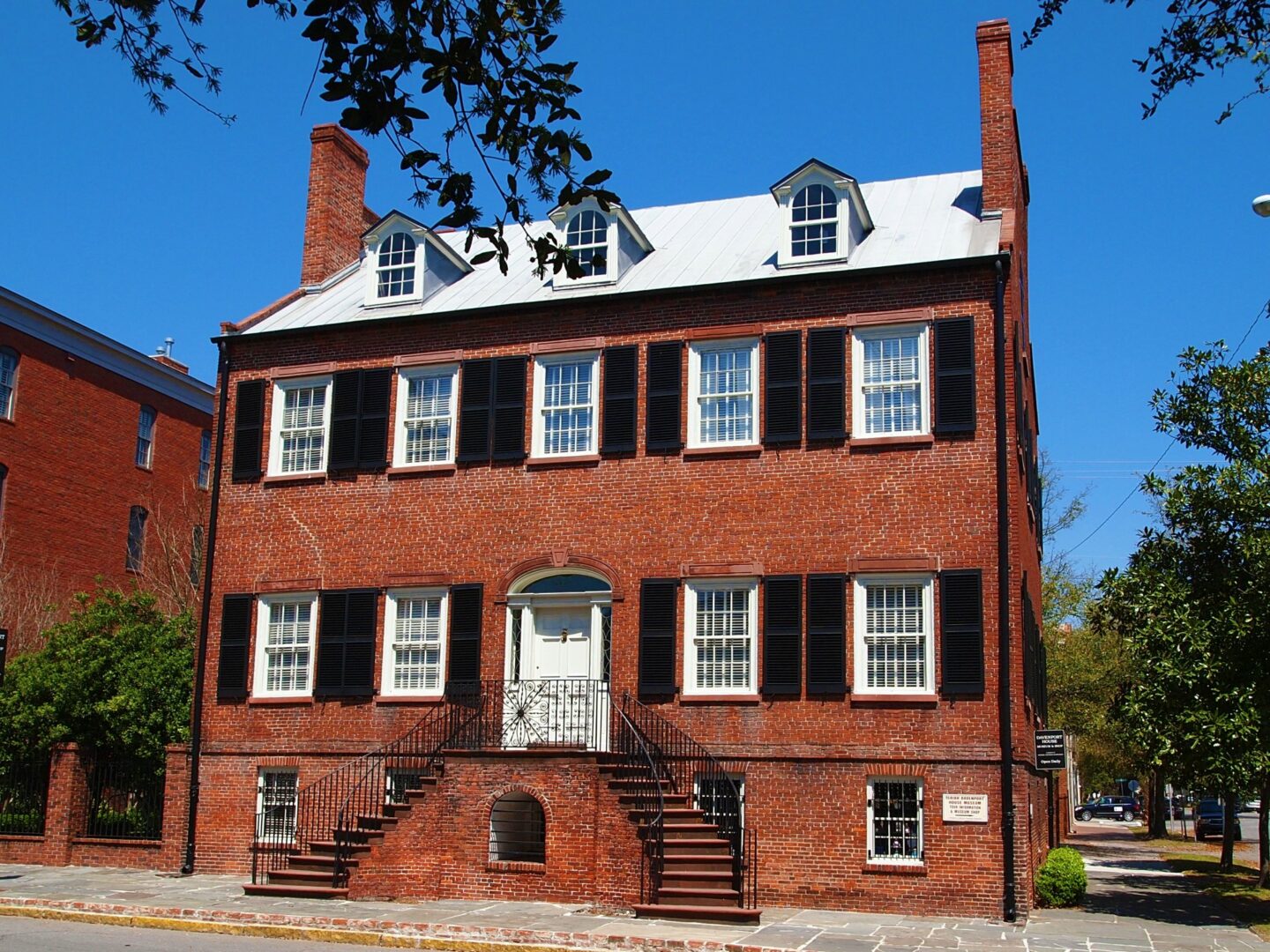


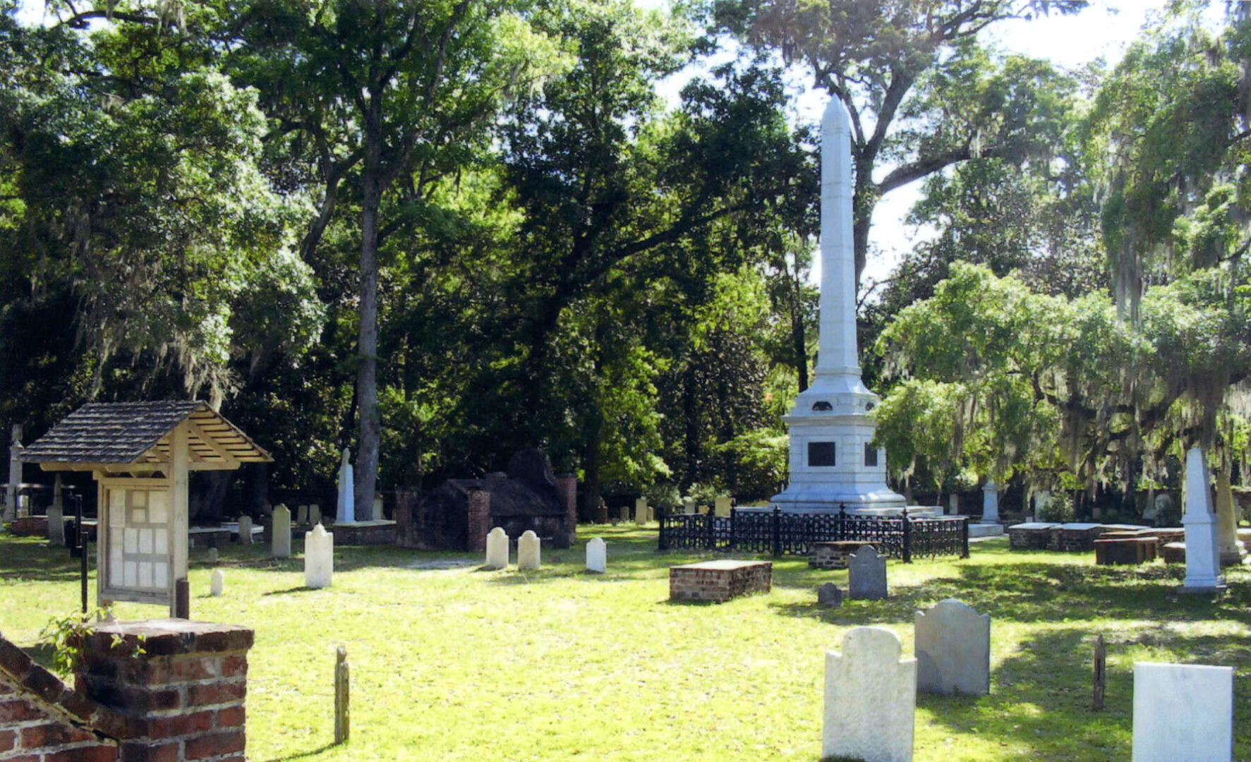


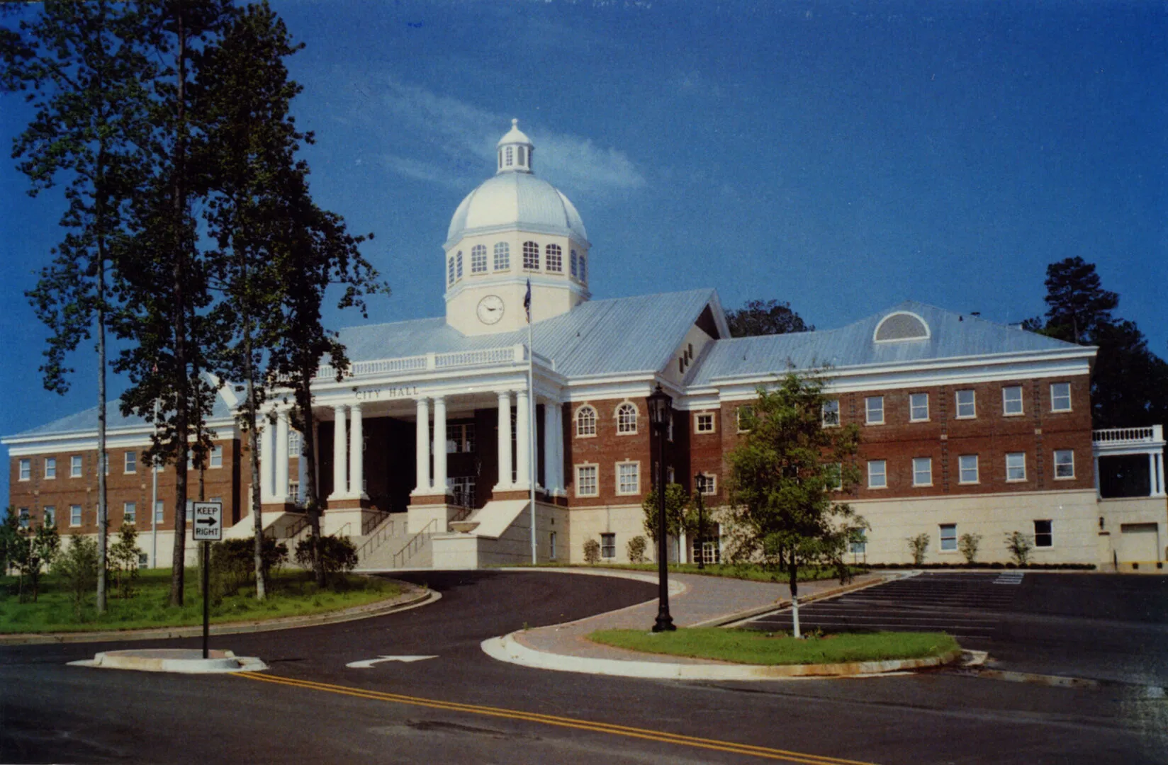

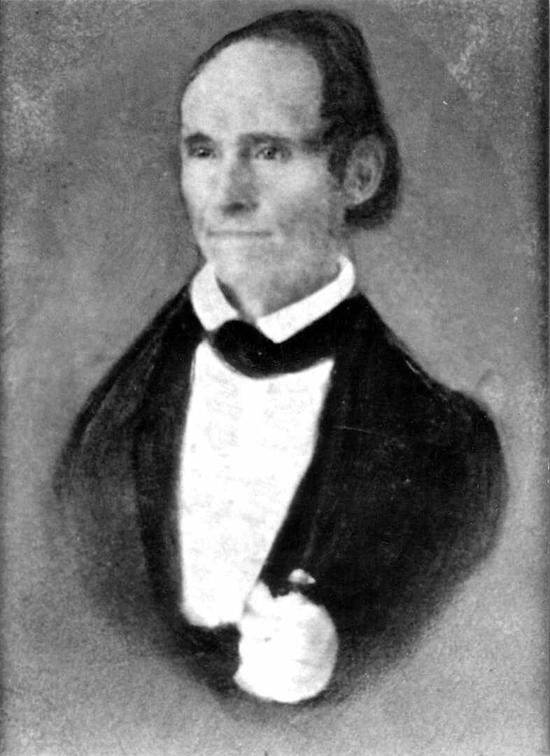

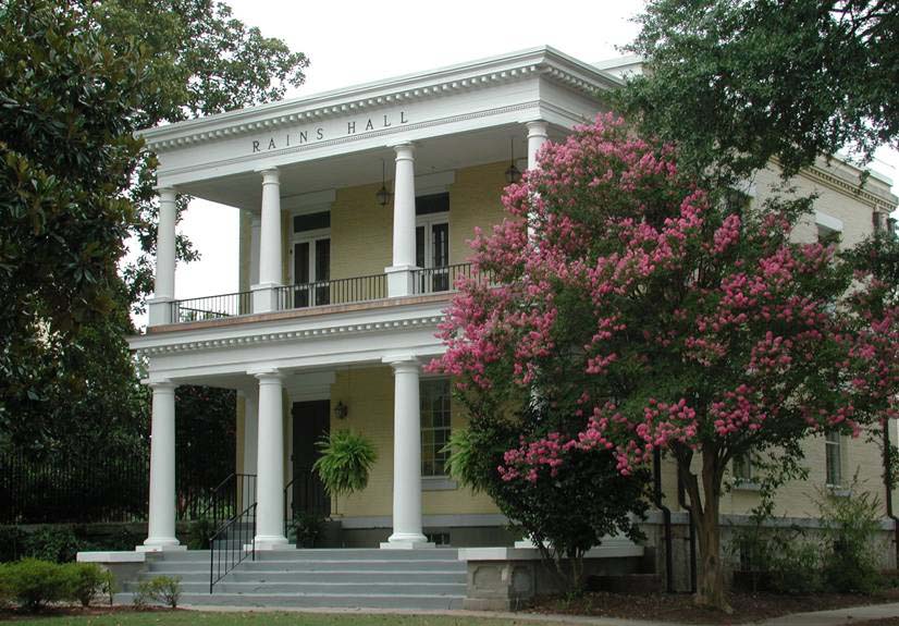
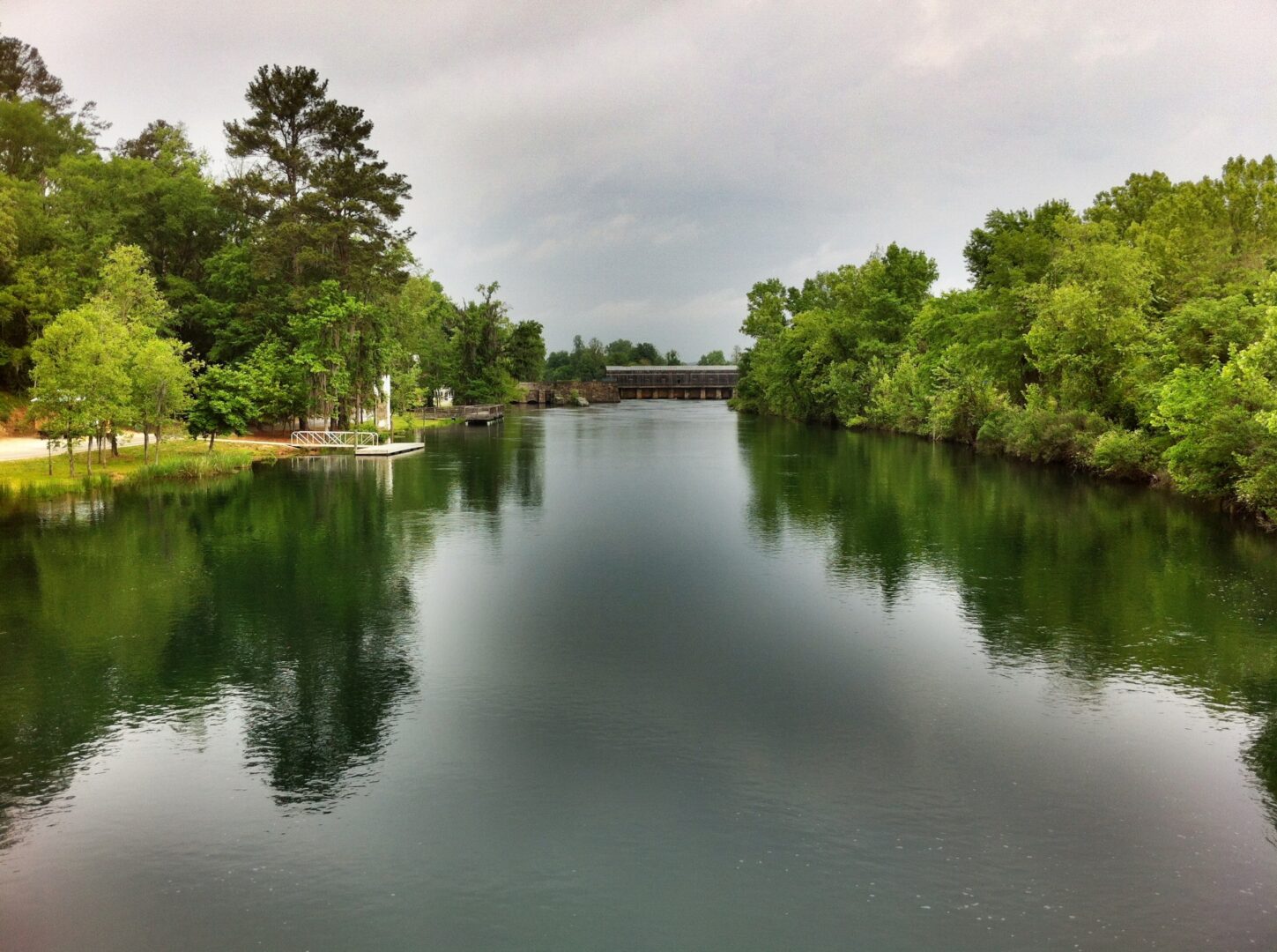

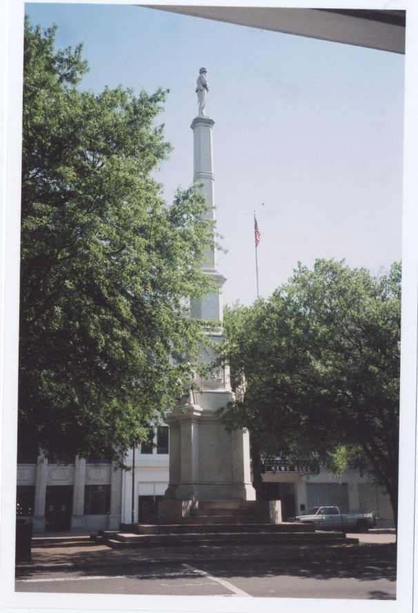
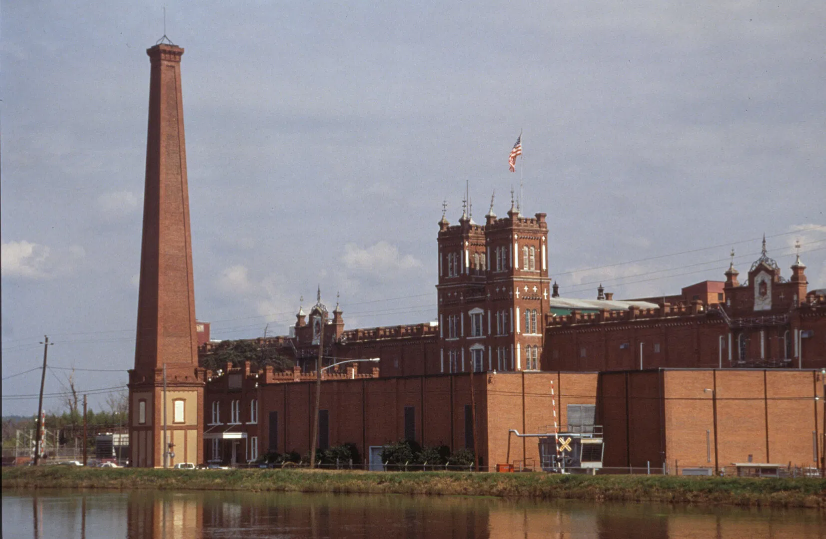
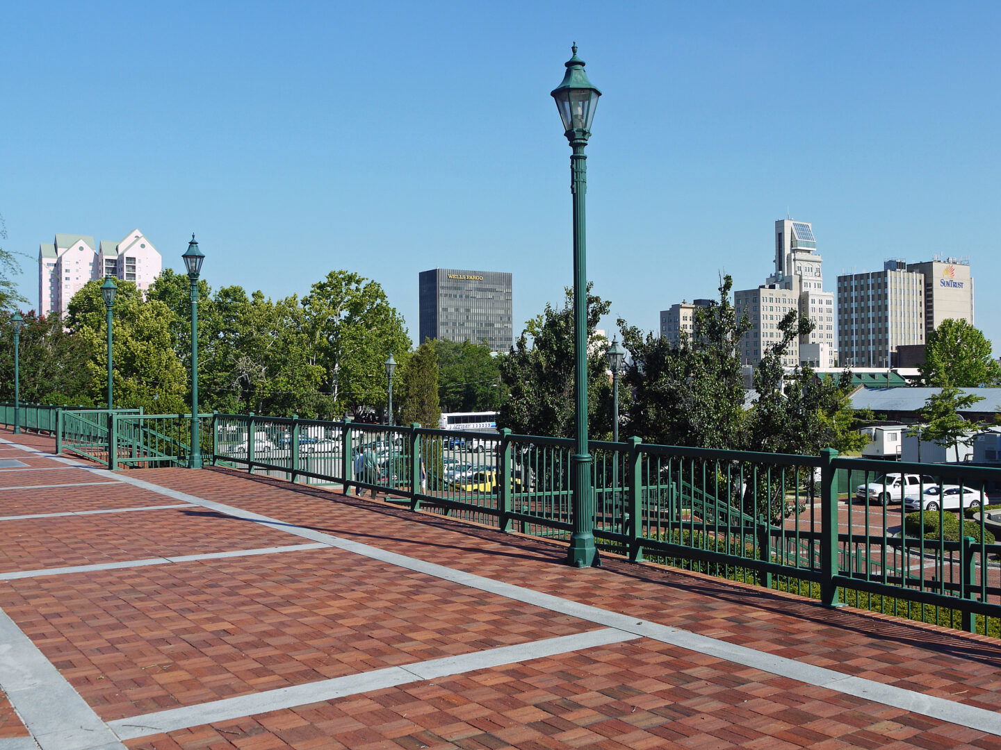

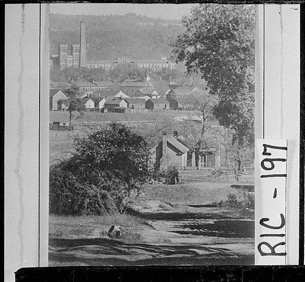

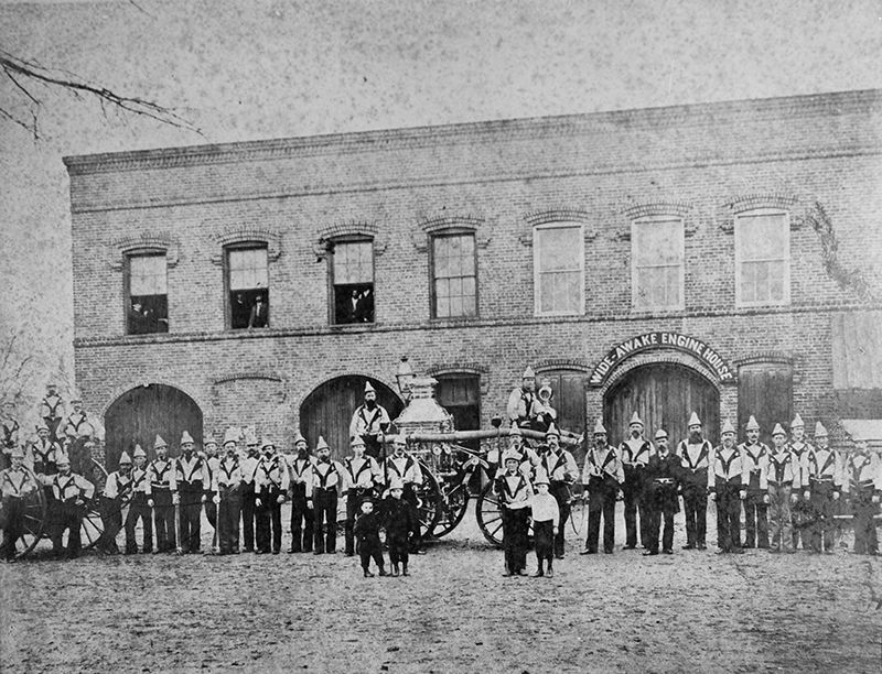


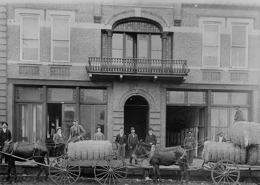
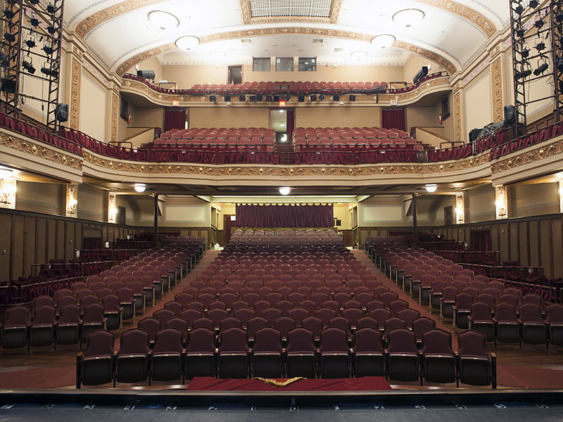


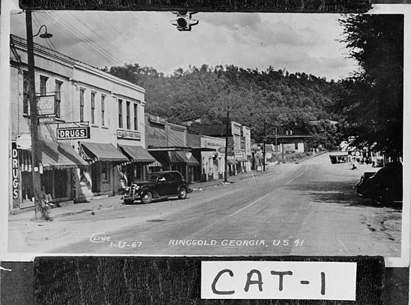
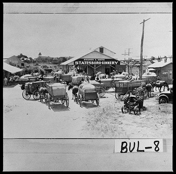


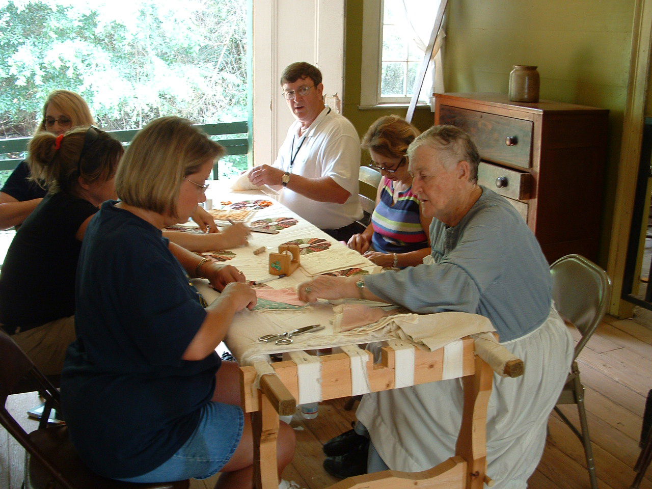


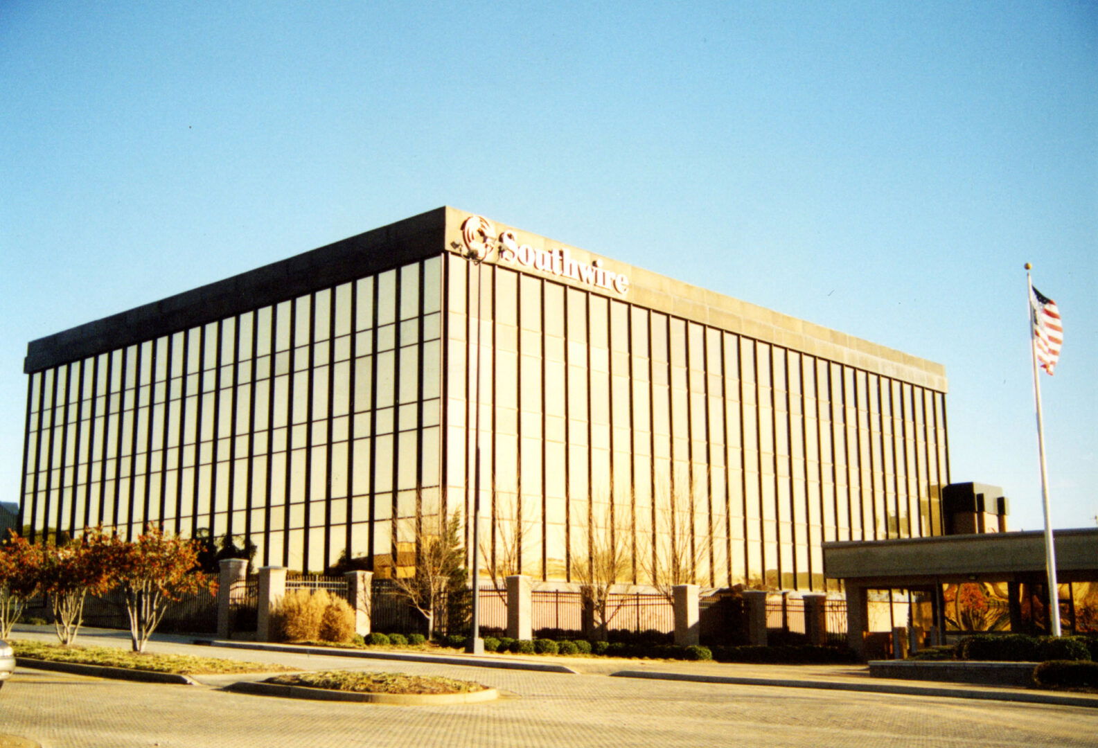
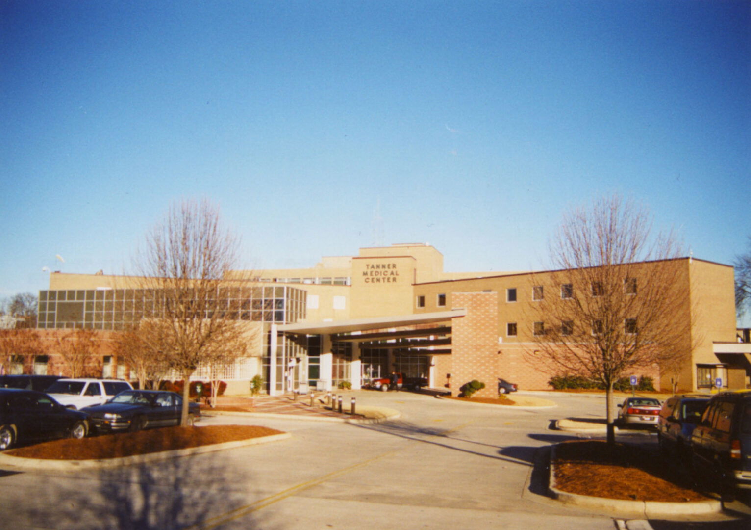
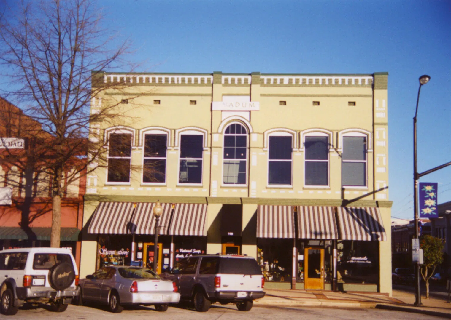
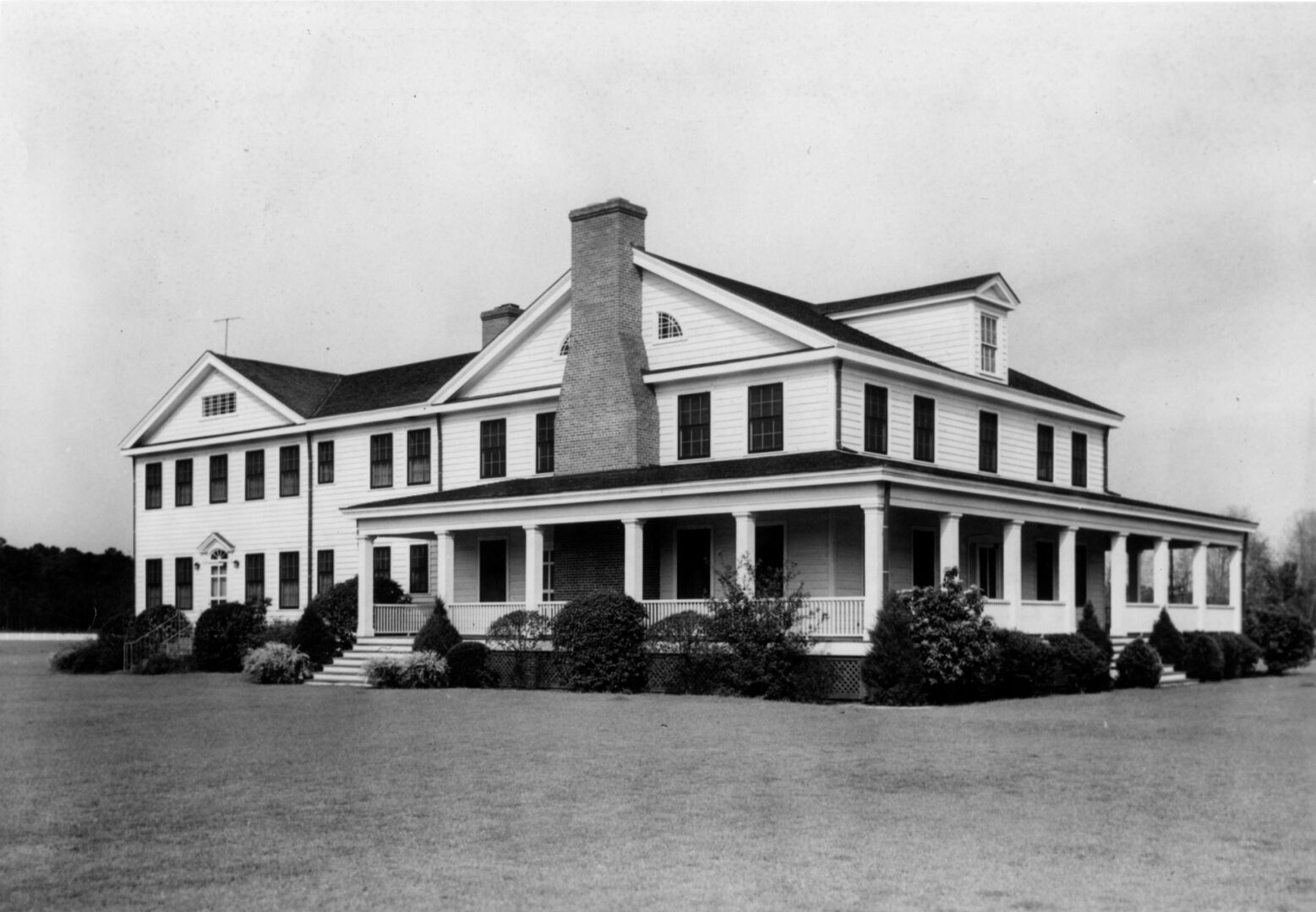
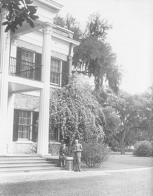


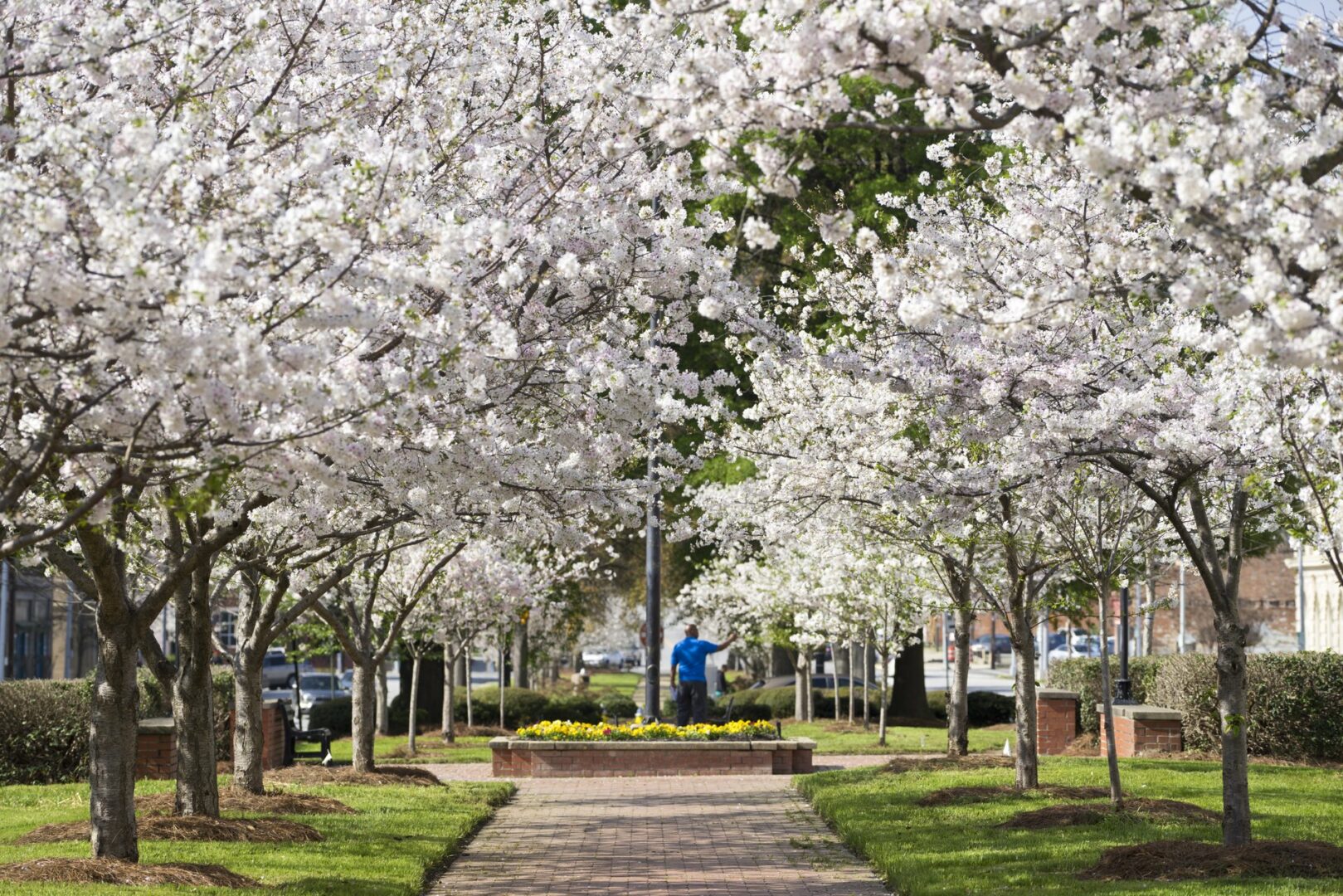


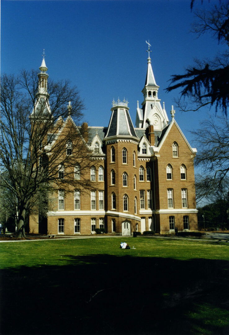


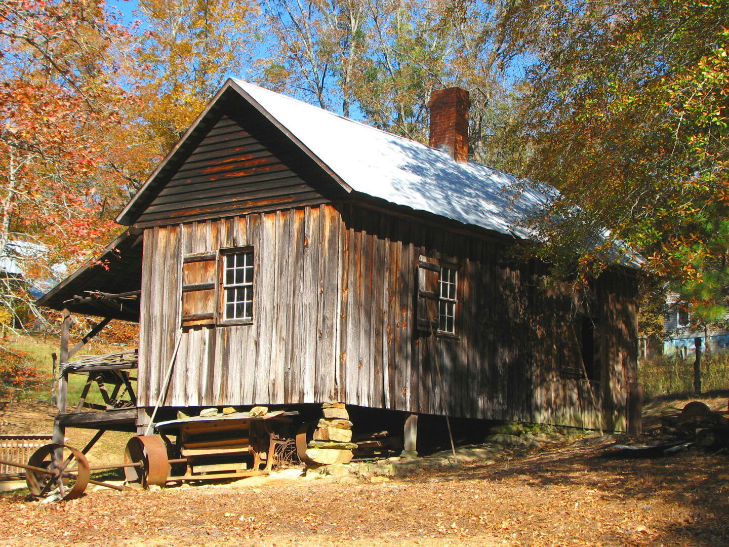


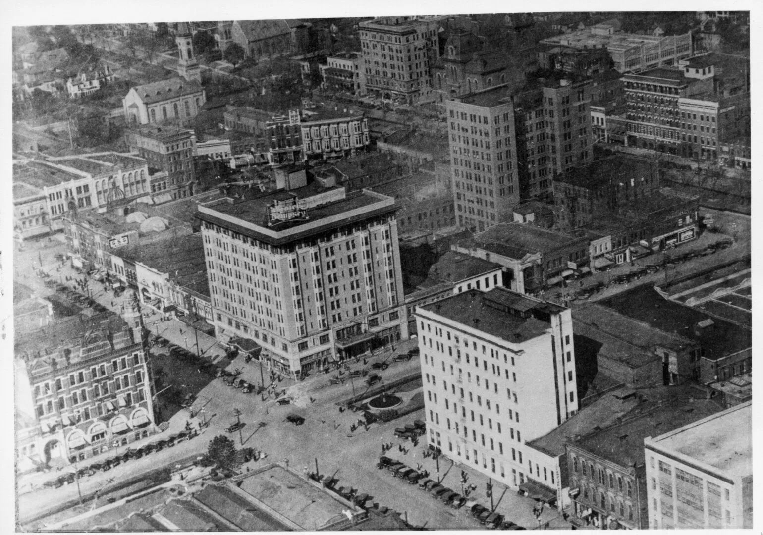
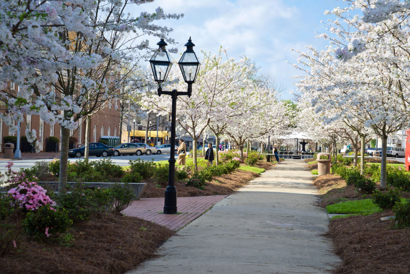


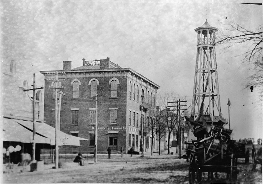

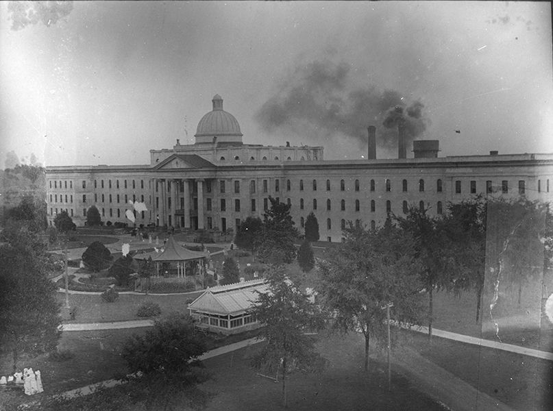

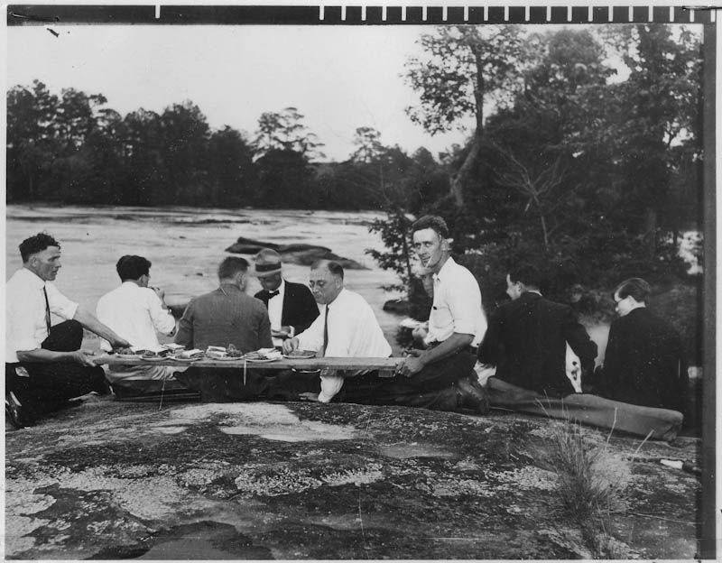


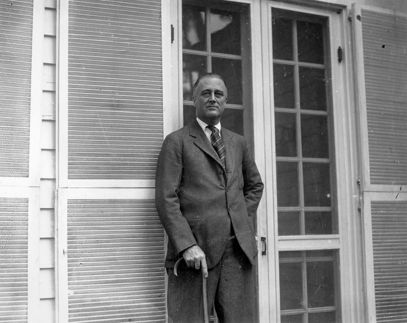
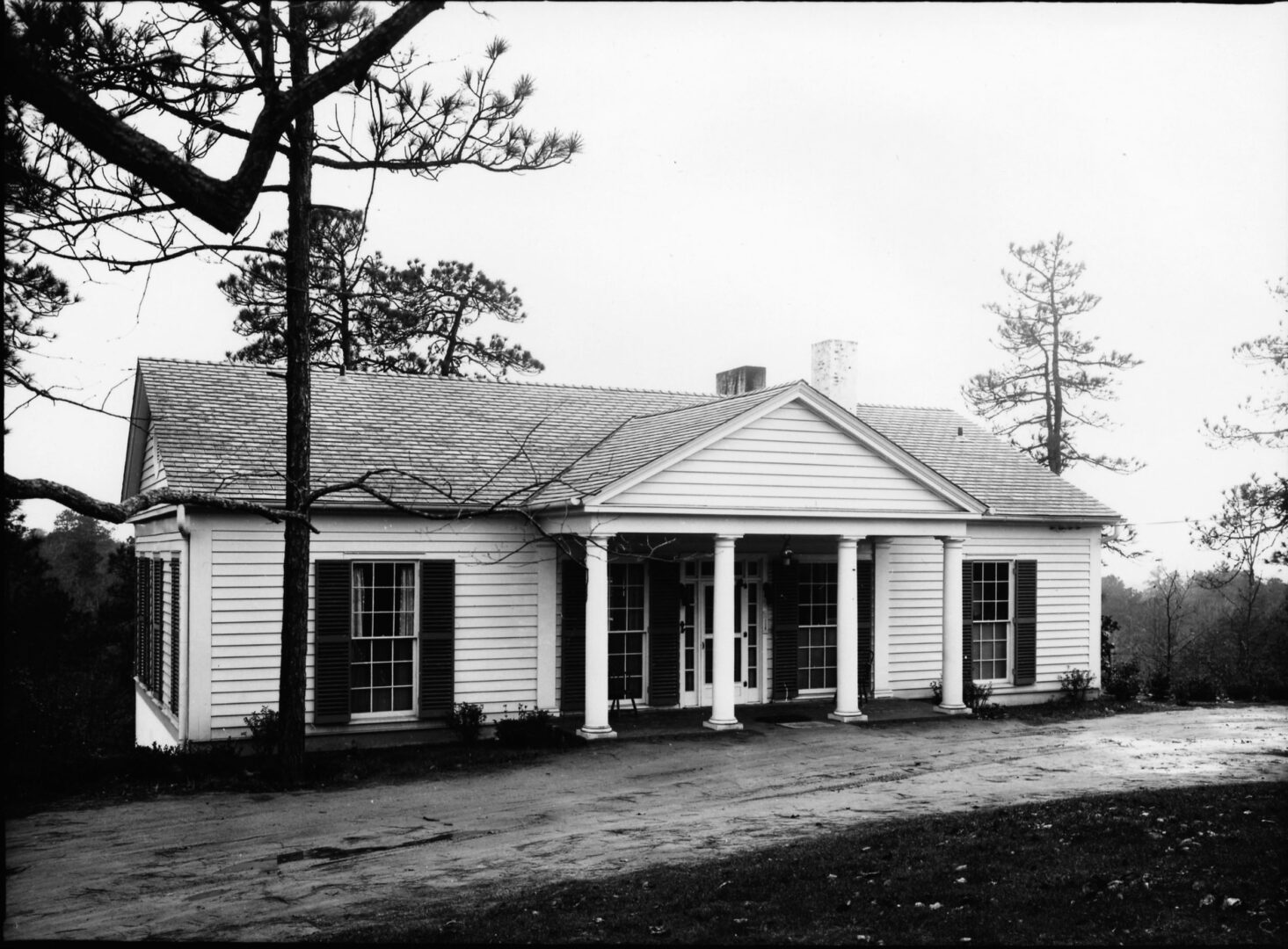
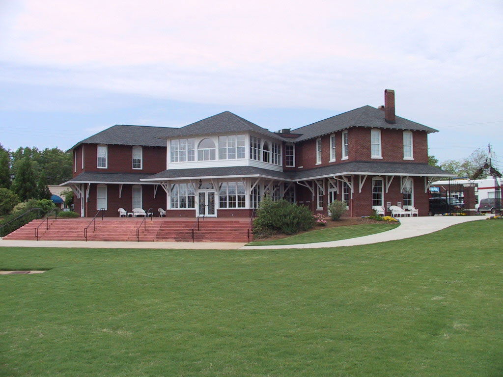

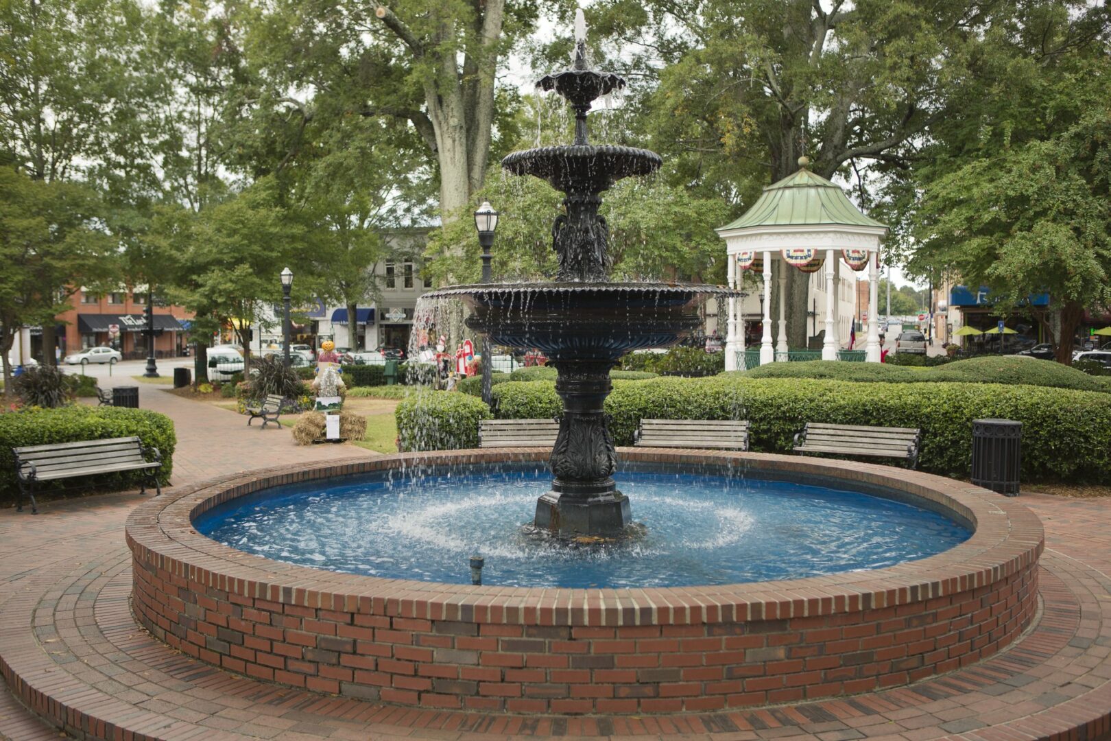
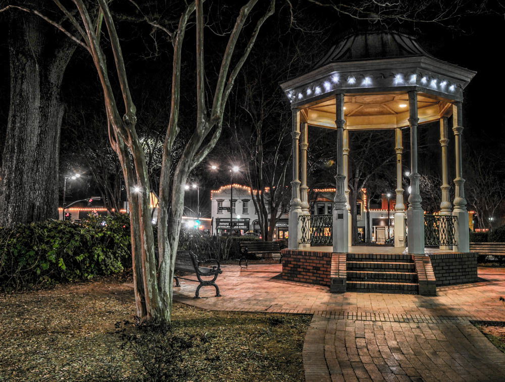


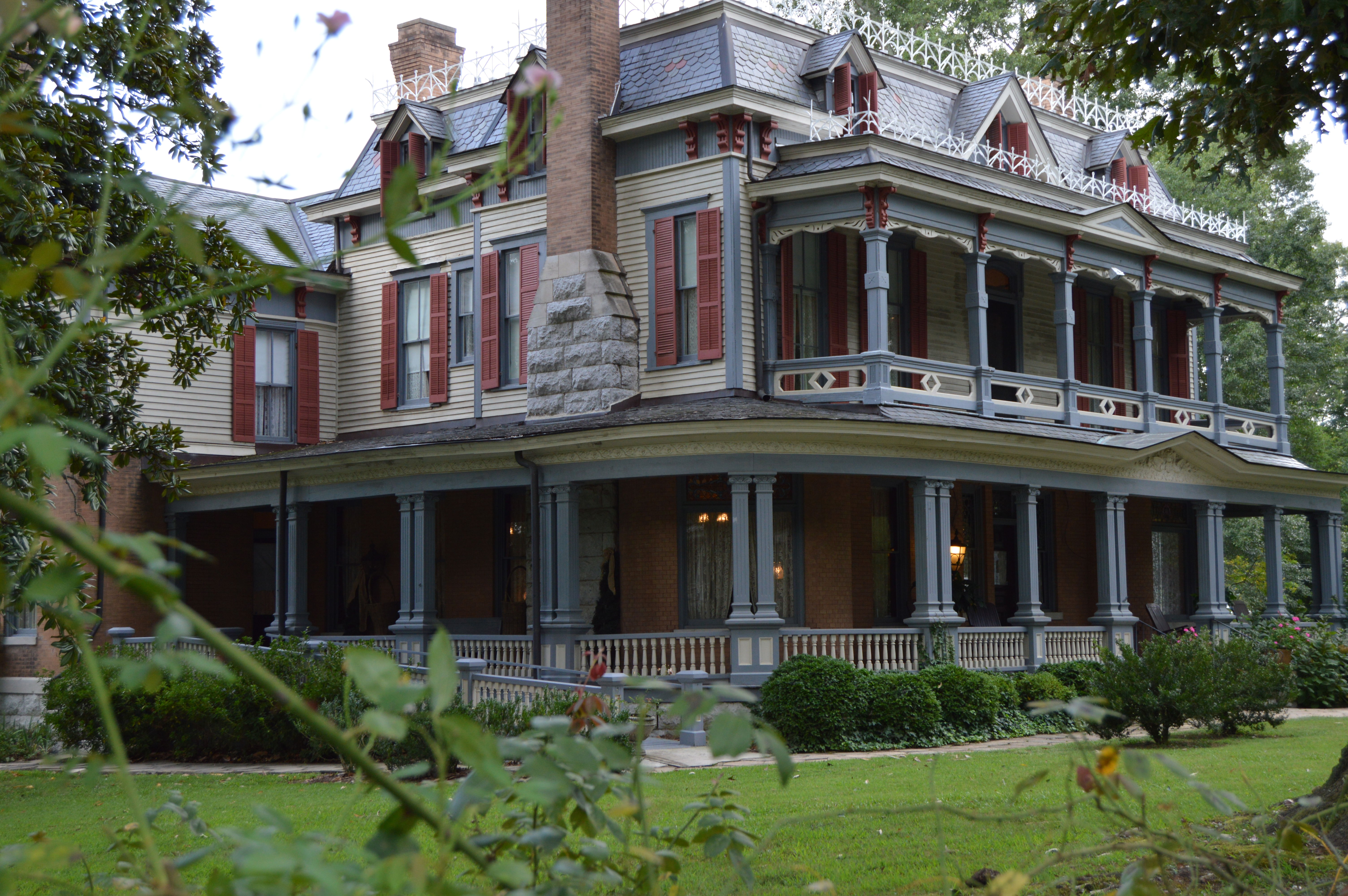
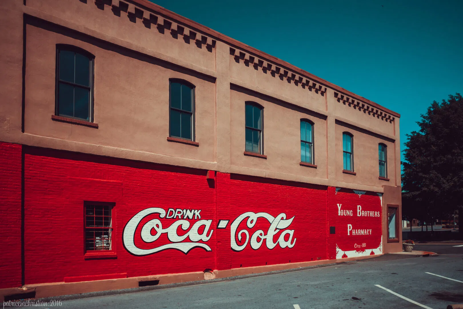
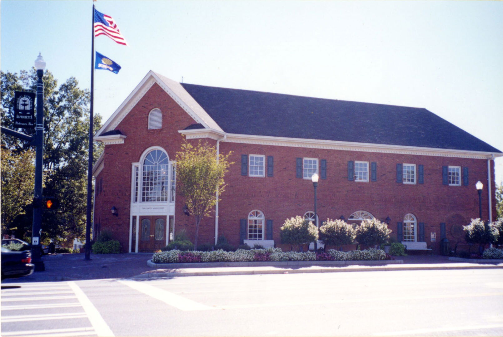
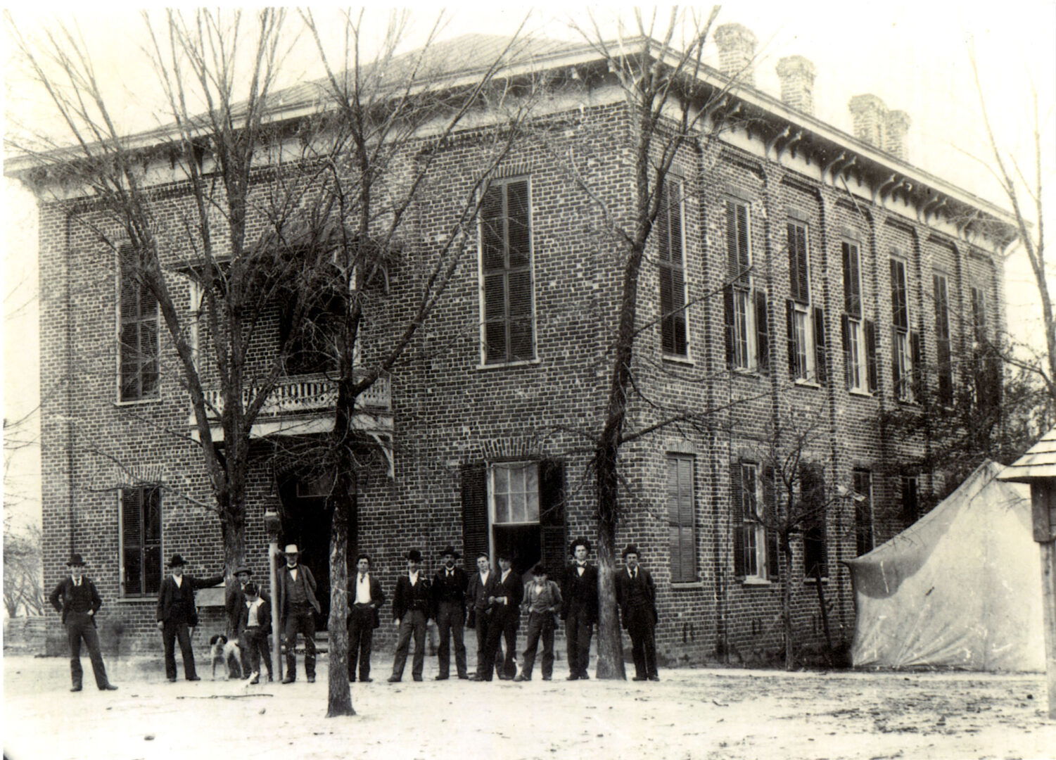


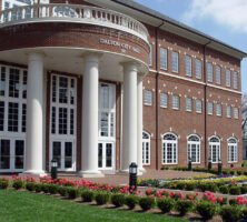
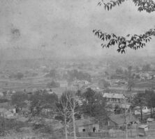
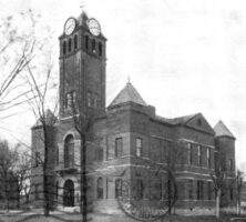
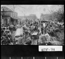
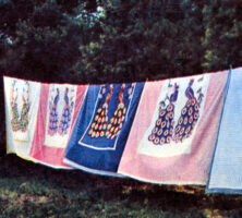
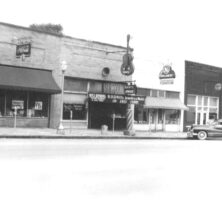
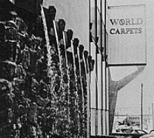
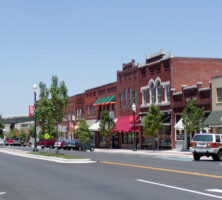
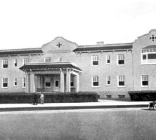
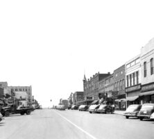
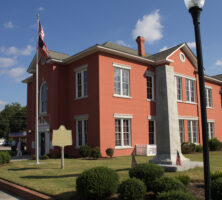
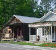
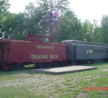
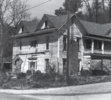
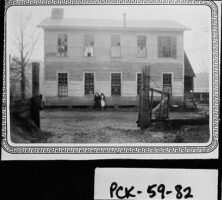
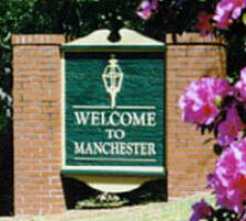
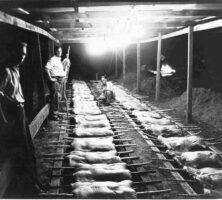
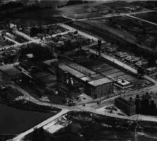
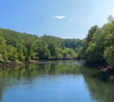
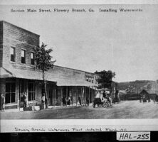
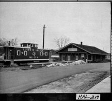
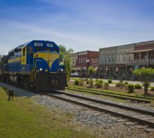
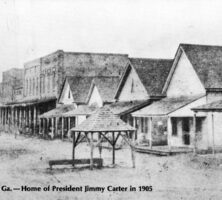
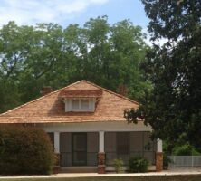
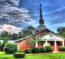
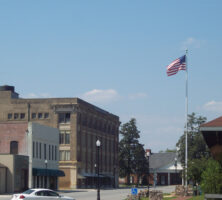
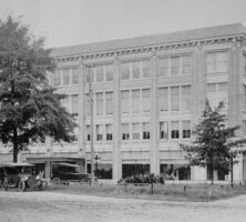
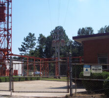
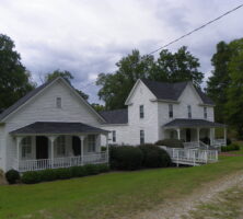
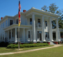
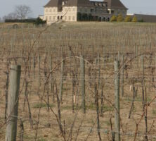
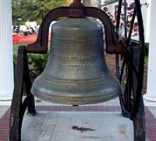

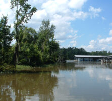
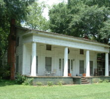
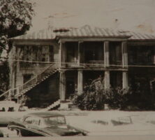
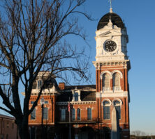
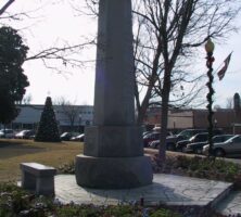
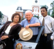
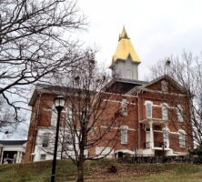
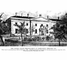
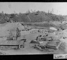
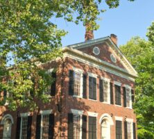
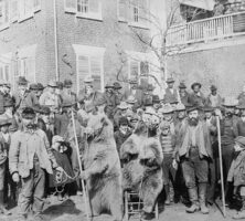
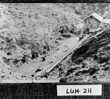
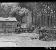

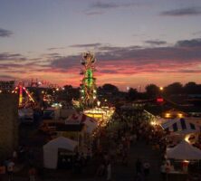
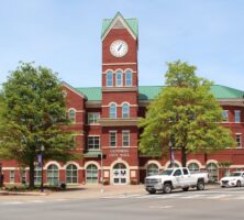

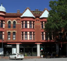
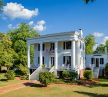
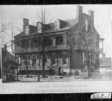
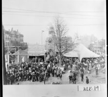
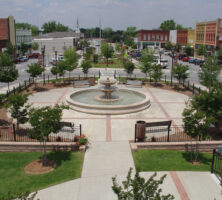
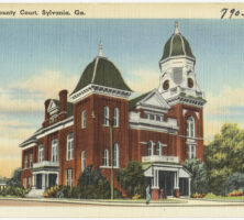
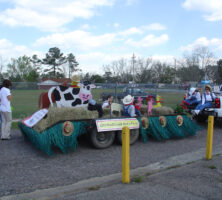
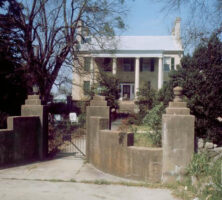
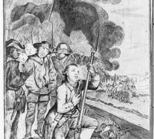
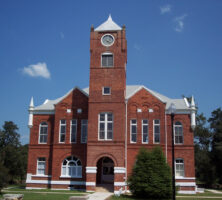
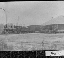
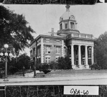
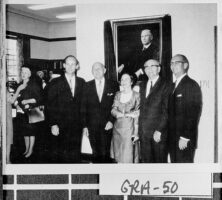

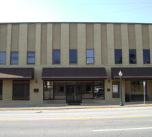
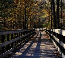

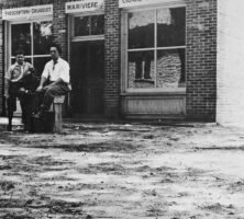
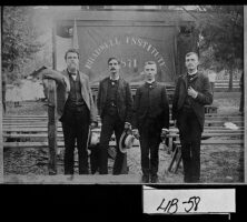
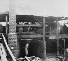
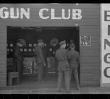
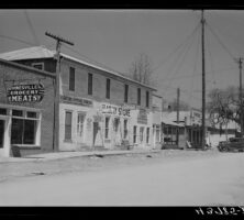
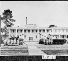
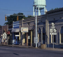
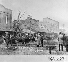
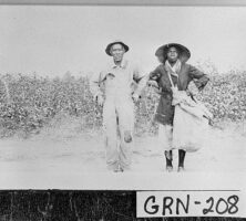
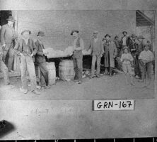
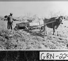
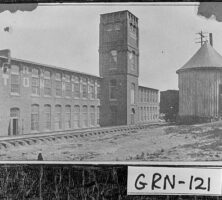
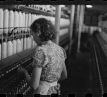
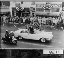
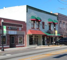
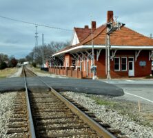
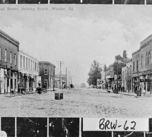
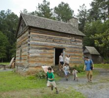
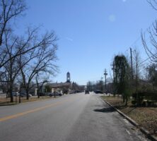
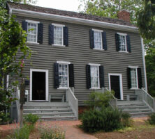
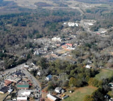
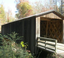

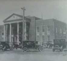
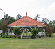
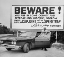
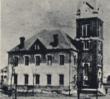
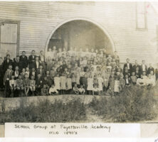
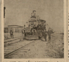
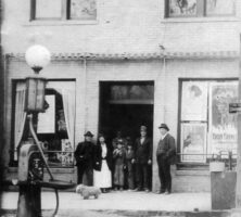
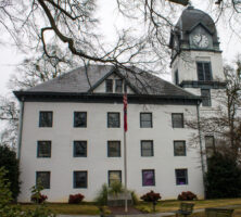
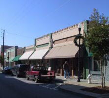
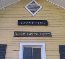
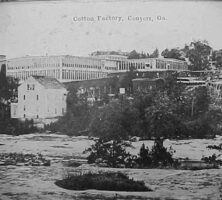
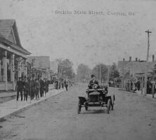
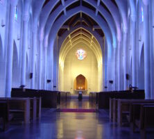
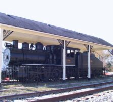
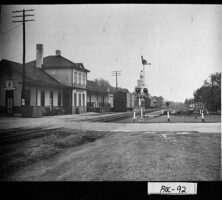
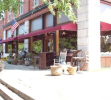
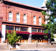
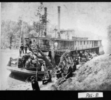
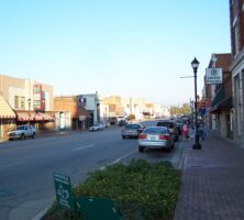
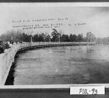
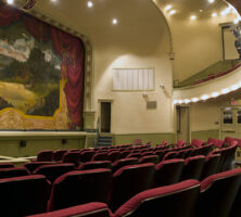
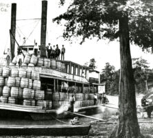
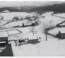
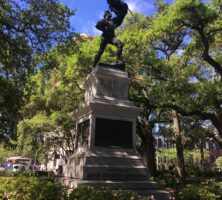
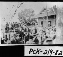
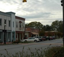
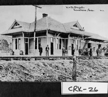
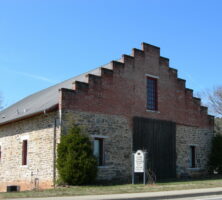
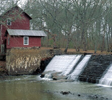
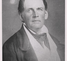
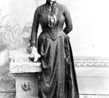
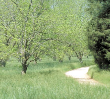
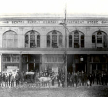
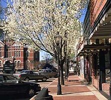
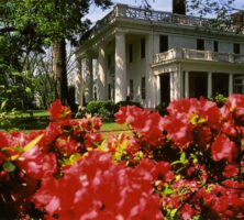
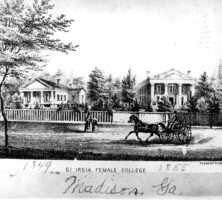
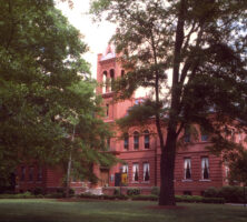
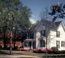
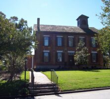
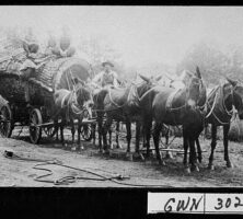
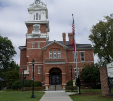
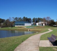
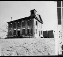

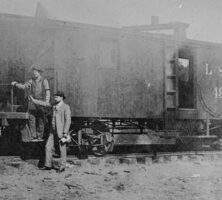
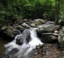
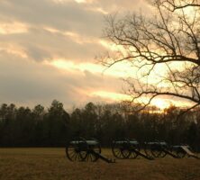
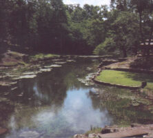
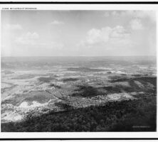
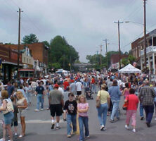
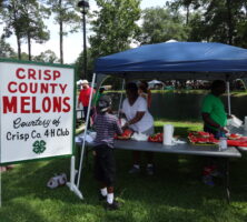
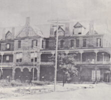
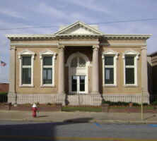
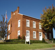
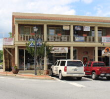

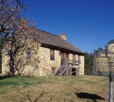
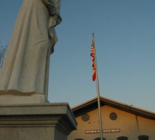
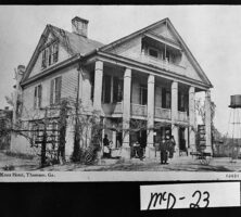
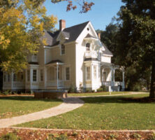
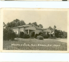
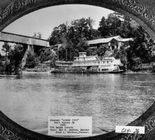
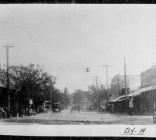
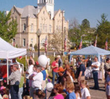
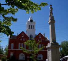
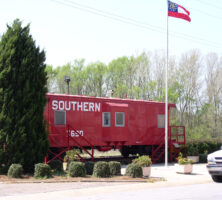
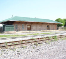
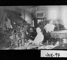
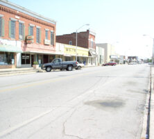
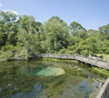
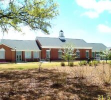
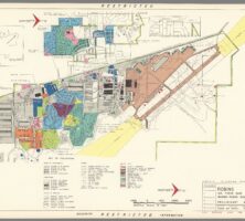
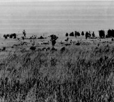
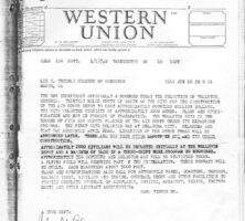
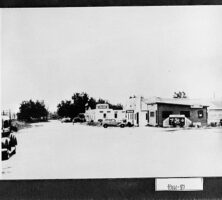
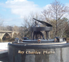
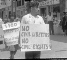
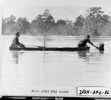
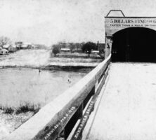
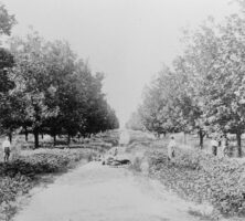
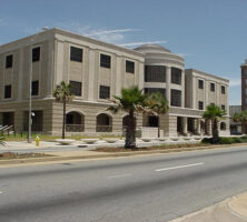
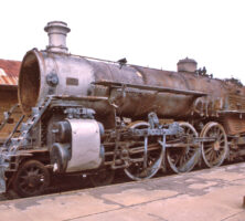
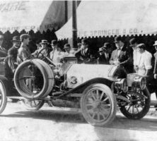
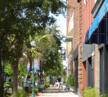
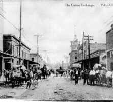
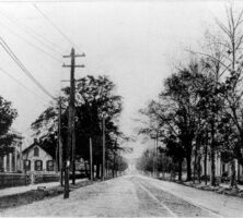
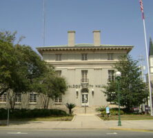
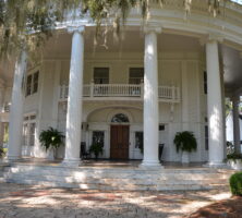
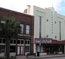
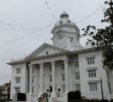
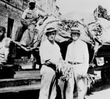
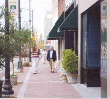
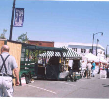
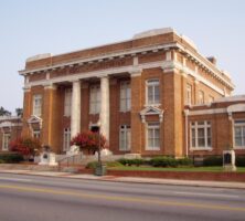
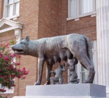
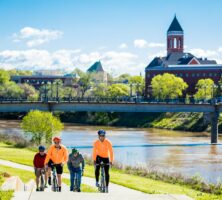
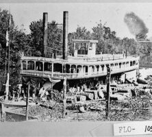
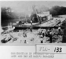
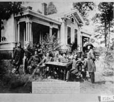
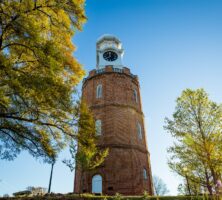
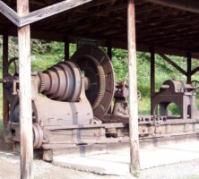
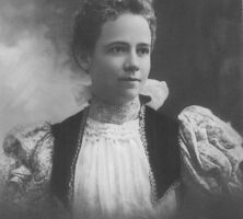

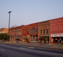
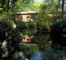
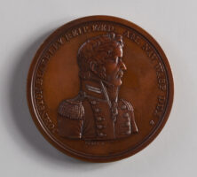
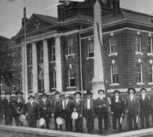
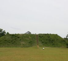
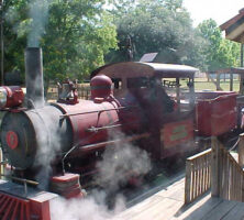
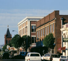
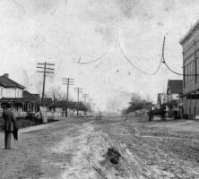
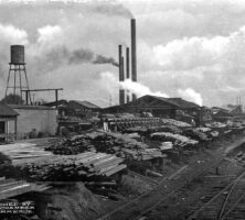
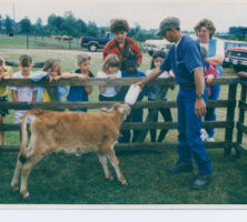
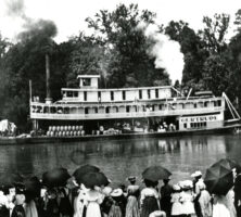
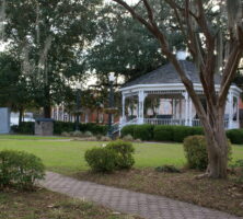
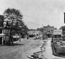
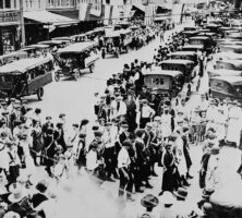
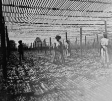
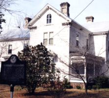
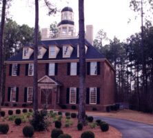
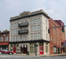
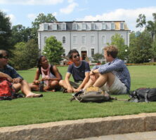
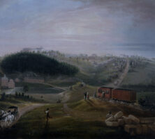
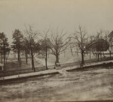
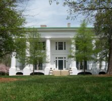
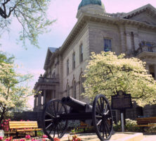
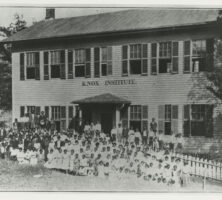
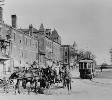
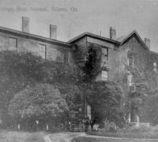
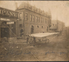
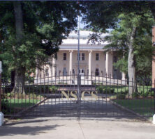
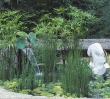
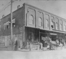
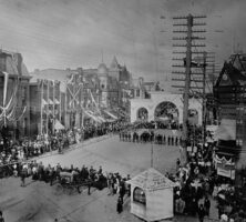
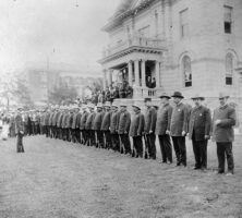
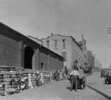
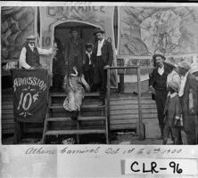
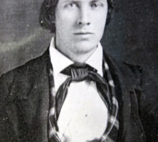
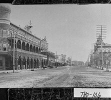
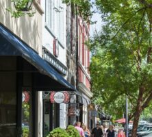
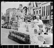
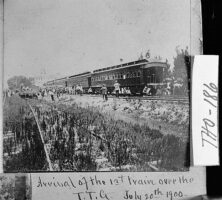
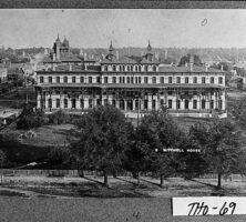
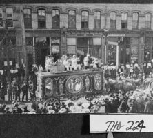
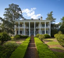
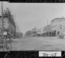
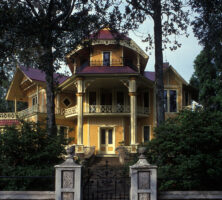
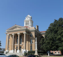

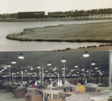

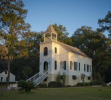
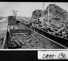
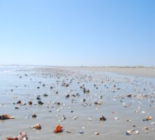
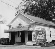
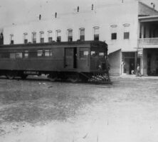

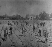


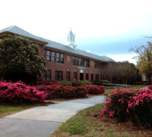
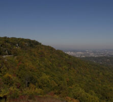

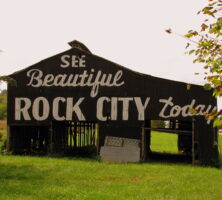
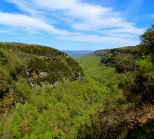
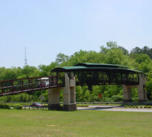
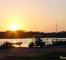
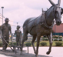

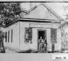

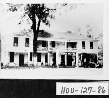
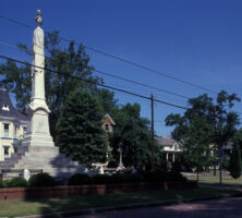
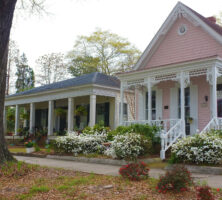
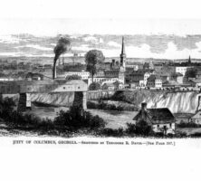
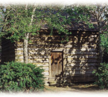
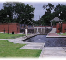
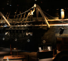
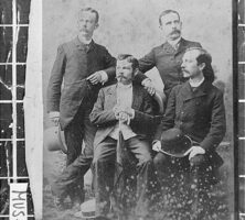
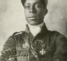
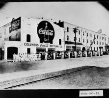
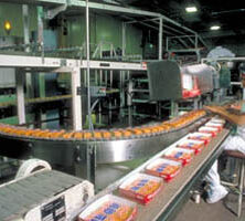
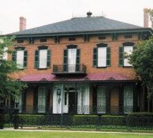
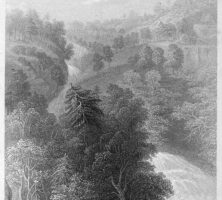
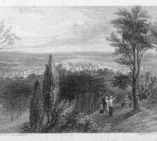
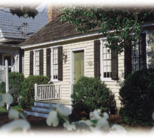
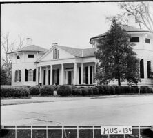
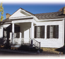
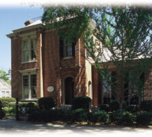
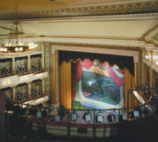
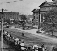
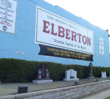
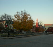
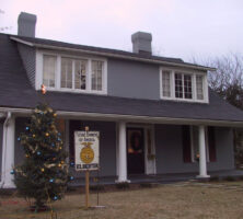
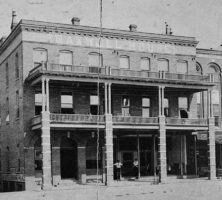
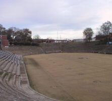
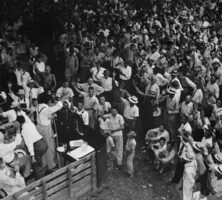
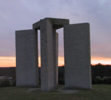
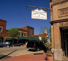
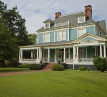
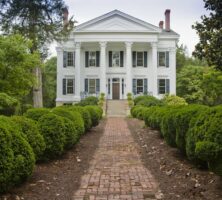
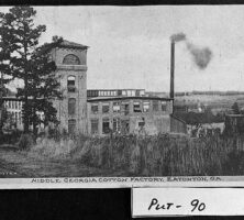
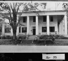
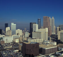
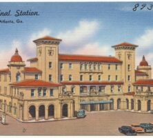
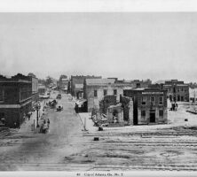
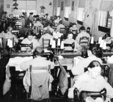

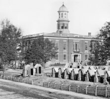
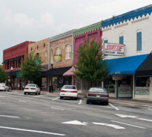
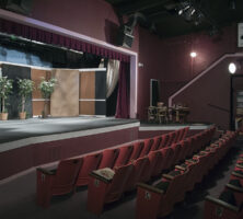
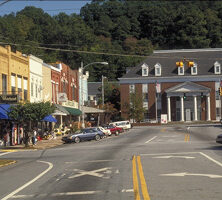
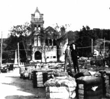
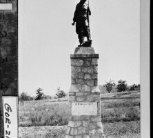
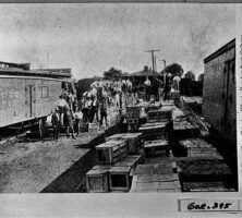

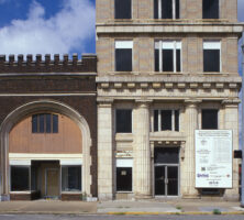
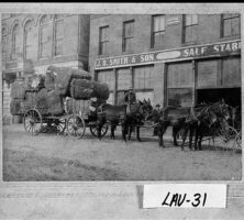
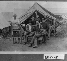
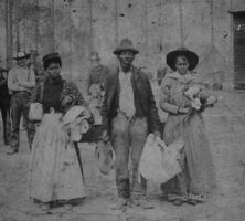
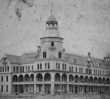
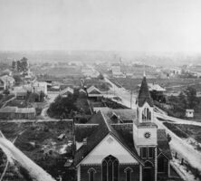
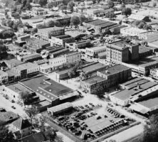
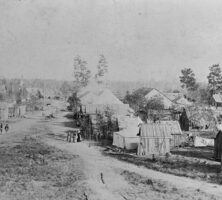
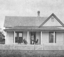
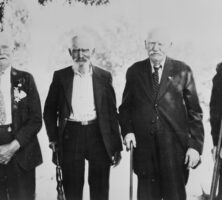
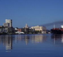
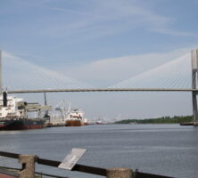
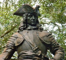
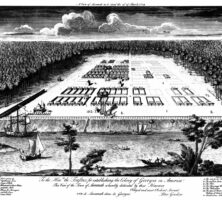
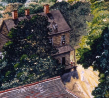
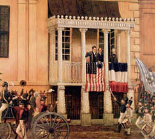
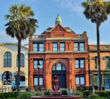
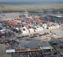
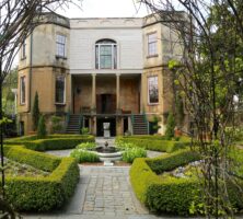
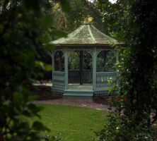
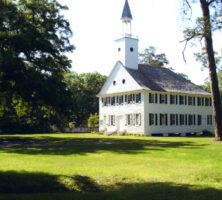
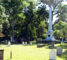
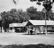
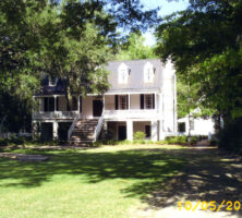
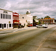
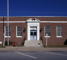
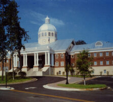
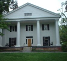
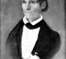
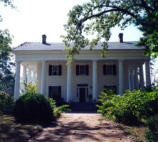
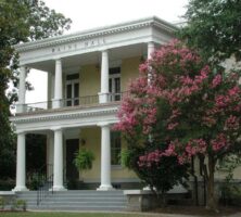
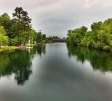
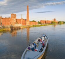
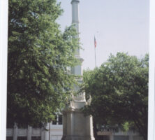
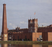
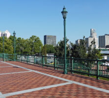
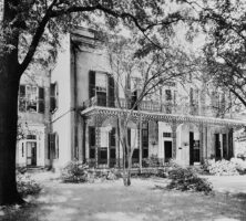
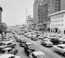
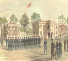
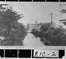

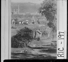
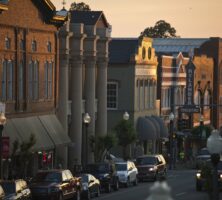
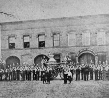
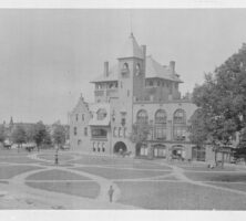
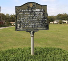
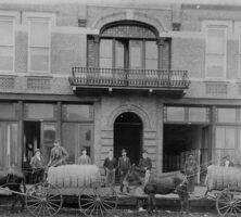
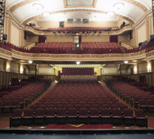
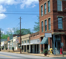
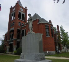
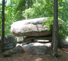
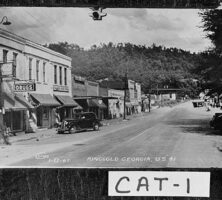
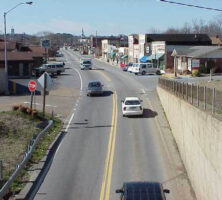
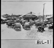
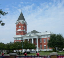
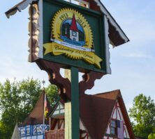
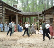
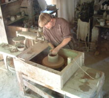
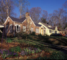
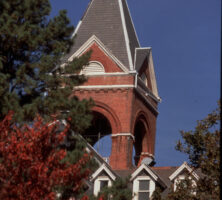
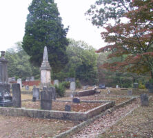
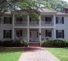
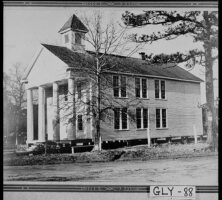
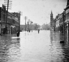
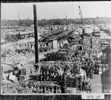
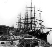
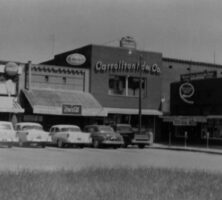
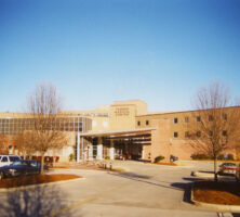
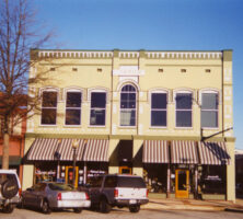
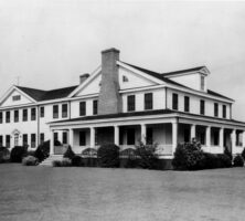
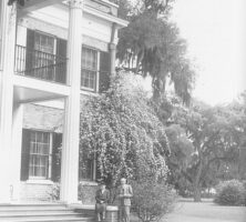
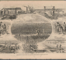
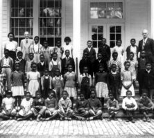
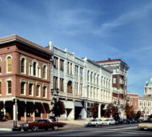
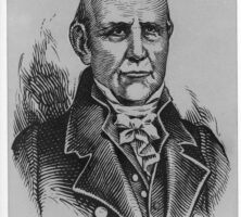
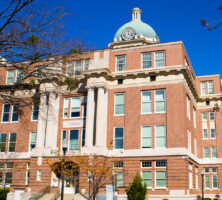
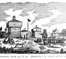
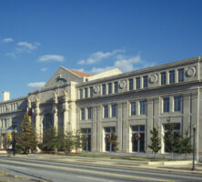
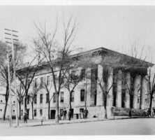
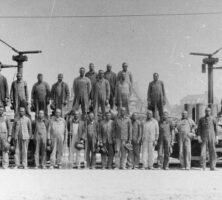
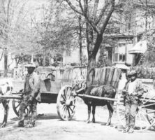
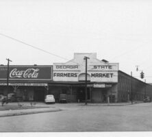
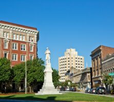
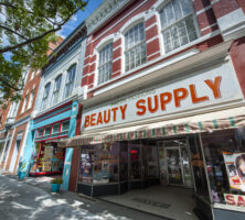
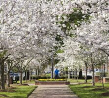
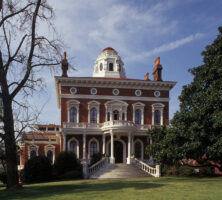
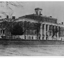
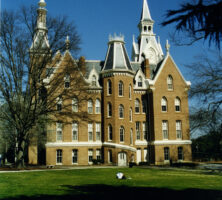
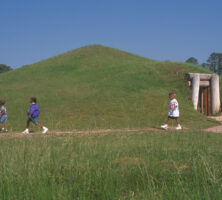
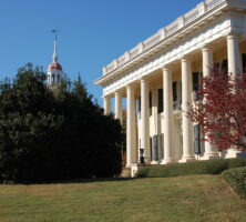
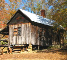
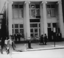
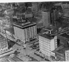
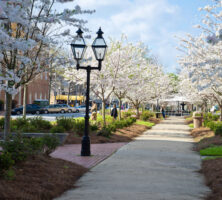
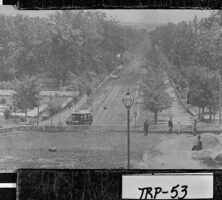
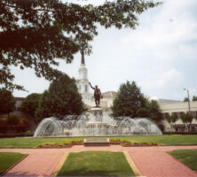
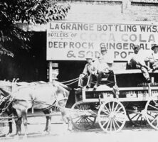
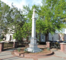
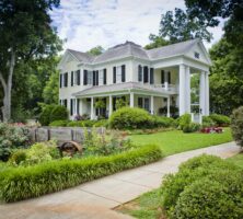
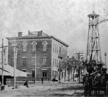
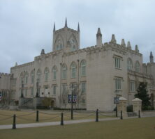
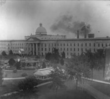
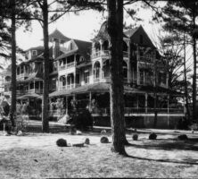
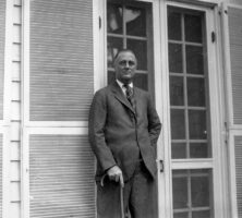
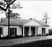
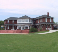
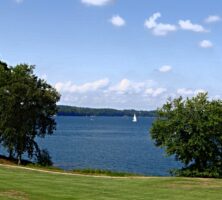
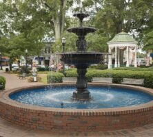
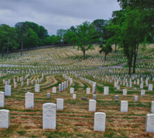
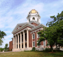
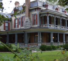
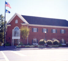
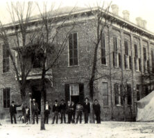
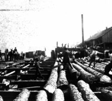
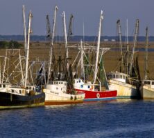
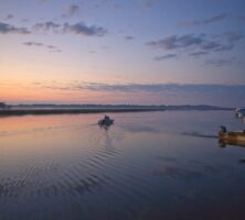
.jpg)